


Westhausen, Germany
Westhausen is a town of 5,884 people in Baden-Wurttemberg, Germany, founded in 1136.
Why visit Westhausen
Townapedia lists 50 museums and landmarks, 14 parks and trails, 27 places to eat, 9 places to stay and 9 attractions in and around town.
Highlights include Mosterei Übele, Braunenberg, Burg Oberalfingen and Limes gate Dalkingen.
Weather in Westhausen
Forecast from MET Norway (CC BY 4.0). Full forecast
About Westhausen
Westhausen (German pronunciation: [vɛstˈhaʊzn̩]) is a municipality in the district of Ostalbkreis in Baden-Württemberg (Germany).
From the Wikipedia article Westhausen (Ostalb) (this version), under CC BY-SA 4.0.
Things to do9

Mosterei Übele
Farm and orchard · 0.8 km
70 Dalkinger Straße, Westhausen
Su-Mo off; Tu-Fr 08:30-12:00, 14:00-18:00; Sa 08:00-12:30



Museums and landmarks50


Limes gate Dalkingen
Monument and historic site · 5.2 km
Ancient Roman gate in southwest Germany


Rekonstruktion eines Limes-Holzturms
Monument and historic site · 5.3 km
Rekonstruierter Wachturm
Sa,Su,PH 11:00-17:00

Burg Mohrenstetten
Monument and historic site · 2.8 km
Burgstall. Wall und Gräben erhalten.
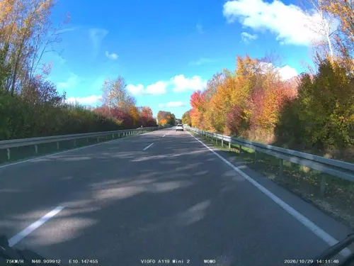


38 more on the map.
Parks, trails and playgrounds14





2 more on the map.
Restaurants and cafes27


Naturfreundehaus Braunenberg
Restaurant · Regional · 4.4 km
4 Braunenberg, Aalen
Th,Fr 14:00-22:00, Sa 11:00-22:00; Su,PH 11:00-21:00

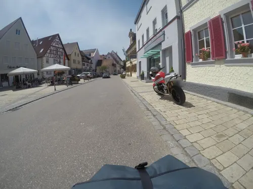


Restaurant im Hotel Adler
Restaurant · Regional, Pizza
18 Aalener Straße, Westhausen
15 more on the map.
Where to stay9
Churches and places of worship28
Barbarakapelle
Church · Protestant · 4.6 km
45 Hauptstraße, Lauchheim
Silvesterkapelle
Church · Roman Catholic
22/1 Silvesterstraße, Westhausen
Stadtpfarrkirche St. Petrus und Paulus
Church · Roman Catholic · 4.8 km
16 Hauptstraße, Lauchheim
Shopping8
Gas and EV charging7
Schools, colleges and libraries4
Grundschule- und Hauptschule Schwabsberg
School · 4.6 km
18 Aalener Straße, Rainau
Healthcare2
Map of Westhausen
158 places. The map loads OpenStreetMap tiles when you open it.
Getting there and nearby towns
Illesheim Army Heliport (ILH) is the nearest airport with scheduled flights listed in OpenStreetMap, 67 km away.
- Aalen 8 km southwest, about 8 min by car
- Ellwangen 9 km northwest, about 9 min by car
- Bopfingen 13 km east, about 13 min by car
- Heubach 21 km southwest, about 21 min by car
- Heidenheim an der Brenz 23 km south, about 23 min by car
- Nördlingen 23 km east, about 23 min by car
- Dinkelsbühl 23 km northeast, about 23 min by car
- Schwäbisch Gmünd 30 km west, about 30 min by car
- Crailsheim 29 km north, about 29 min by car
- Giengen an der Brenz 29 km south, about 29 min by car
Drive times are estimates from straight-line distance, not routes.
Local news
Headlines from INDB.
Reviews, tips and questions
Loading what members have shared...
Sources and licences
- GeoNames (CC BY 4.0): population, coordinates, regions and time zone
- Mapillary (see each image): photos
- OpenStreetMap contributors (ODbL 1.0): places, airports, map data
- Wikidata (CC0 1.0): elevation, founding date, time zone, website, landmarks and historic places
- Wikimedia Commons (see each image): photos
- Wikipedia (CC BY-SA 4.0): overview and history text
Photo credits
- Cycling-route-signs-Westhausen, Pimvantend, CC BY-SA 3.0
- Kreuzkirche Westhausen, Aalen1, CC0
- Silvesterkapelle (Westhausen), Aalen1, CC BY-SA 4.0
- Haltepunkt Westhausen, Lenn2105, CC BY-SA 4.0
- Antoniuskapelle Westhausen, Aalen1, CC BY-SA 3.0
- St. Josef Westhausen, Aalen1, CC0
- Silvesterkapelle (Westhausen) (cropped), Aalen1, CC BY-SA 4.0
- Westhausen Ich bin bei euch, Aalen1, CC0
- Limestor Dalkingen Suedwestansicht, Haselburg-müller, CC BY-SA 3.0
- Burg Hohenalfingen Mauerrest, Geak, CC BY-SA 4.0
- Agnesburg Grundriss, Geak, CC BY-SA 4.0
- Kastell Buch 3, Photo: Veit Feger, Public domain
- Aerial image of the Schloss Kapfenburg (view from the east), Carsten Steger, CC BY-SA 4.0
- Woellerstein, Bernhard Hampp, CC BY 3.0
- Burgstall Winken NO Blick Kante (N), Aalen1, CC BY-SA 4.0
- Burg Mohrenstetten Graben bei Vorburg NO, Aalen1, CC BY-SA 4.0
- St Georg Hofen, Memorino, CC BY-SA 3.0
- Marienkapelle in Immenhofen, Aalen1, CC0
- St. Katharina Lippach, THE SWAEG, CC BY-SA 4.0
- Barbarakapelle Lauchheim, THE SWAEG, CC BY-SA 4.0
- K2002-06-23 010 Westh StMauritius W, Béla Fahidi, CC BY 3.0
- Limestor in Dalkingen, Pwagenblast, CC BY-SA 3.0
- Marienkapelle Immenhofen Nordost, Kreuzschnabel, CC BY-SA 3.0
- St. Josef Attenhofen, Aalen1, CC0
- Pfarrkirche St. Nikolaus Dalkingen, Aalen1, CC0
- St. Georg (Hofen), Aalen1, CC BY-SA 4.0
- St. Isidor Röthardt a, Aalen1, CC0
- St. Stephanus (Jagsthausen), Aalen1, CC BY-SA 4.0
- 1868 wurde die katholische Pfarrkirche St. Petrus und Paulus geweiht. 01, Holger Uwe Schmitt, CC BY-SA 4.0
- Sendeturm Wasseralfingen, T. Rohrbacher, CC BY-SA 3.0
- Agnesburg, Geak, CC BY-SA 4.0
- Zum Gedenken an die Heimsuchung, Aalen1, CC BY-SA 4.0
- Holzkreuz Baiershofener Straße, Aalen1, CC0
- Moritz Hahn, Aalen1, CC0
- Agnesburg Marterl, Aalen1, CC BY-SA 4.0
- Street-level photo, soulcover, CC BY-SA 4.0
- Street-level photo, soulcover, CC BY-SA 4.0
- Street-level photo, mfa, CC BY-SA 4.0
- Street-level photo, soulcover, CC BY-SA 4.0
- Street-level photo, mfa, CC BY-SA 4.0
- Street-level photo, soulcover, CC BY-SA 4.0
- Street-level photo, mfa, CC BY-SA 4.0


Page built November 9, 2026. Spotted a mistake? Tell us or suggest a place.