


Why visit Heubach
Townapedia lists 46 museums and landmarks, 15 parks and trails, 55 places to eat, 5 places to stay and 24 attractions in and around town.
Highlights include Leute, Bärenberg, Finsteres Loch and Kastell Unterböbingen.
Weather in Heubach
Forecast from MET Norway (CC BY 4.0). Full forecast
About Heubach
Heubach (German pronunciation: [ˈhɔʏbax] ) is a town in the Ostalbkreis district, in Baden-Württemberg, Germany. It is located 10 km east of Schwäbisch Gmünd, and 13 km southwest of Aalen. The town finds itself at the edge of the Rems River Valley and at the base of the Swabian Alps.
From the Wikipedia article Heubach (this version), under CC BY-SA 4.0.
Things to do24

Leute
Farm and orchard · 3.0 km
Obst, Gemüse, Blumen, Jungpflanzen
22 Untere Mühlstraße, Heubach
Tu,Th,Fr 09:00-12:30,14:00-18:00

12 more on the map.
Museums and landmarks46





Schlössle
Monument and historic site · 3.4 km
8 Kirchberg, Böbingen an der Rems



34 more on the map.
Parks, trails and playgrounds15




3 more on the map.
Restaurants and cafes55
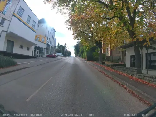
Goldener Hirsch
Restaurant · Swabian · 0.8 km
86 Hauptstraße, Heubach
Tu-Fr 11:00-14:00,17:00+; Sa 17:00+; Su 11:00-14:30,17:00+; Mo off
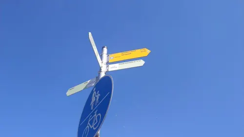
La Calabria
Restaurant · Italian · 3.4 km
1 Mögglinger Straße, Böbingen an der Rems
Mo, Fr-Sa 17:00-21:00; Su, Th 11:30-14:00, 17:00-21:00


Wirtshaus am Pfaffensturz
Bar and pub · German · 3.6 km
1 Hasenweide, Essingen
Tu-Fr 15:00-23:00; Sa-Su 11:00-23:00

Bäckerei Köhler
Bakery · 3.0 km
60 Rosensteinstraße, Heubach
Mo-Fr 06:30-12:30, Mo,Tu,Th,Fr 14:30-18:00, Sa 06:30-12:00, Su 13:30-16:00
Remsgoggl
Restaurant · 4.0 km
1 Lauterstraße, Mögglingen
Mo-Th 12:00-00:00, We 16:00-00:00, Fr-Sa 12:00-02:00, Su 12:00-00:00
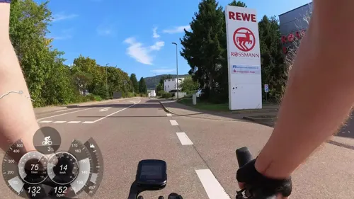
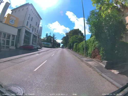


China-Restaurant Hong Kong
Restaurant · Chinese
18 Adlerstraße, Heubach
11:30-14:30, 17:30-23:00
43 more on the map.
History
Heubach was first mentioned in 1234 in association with knight Hainricus de Hôbach. Rosenstein Castle, which is located on Rosenstein mountain, was first mentioned in 1282. At the end of the 13th century, Heubach and Rosenstein came into the possession of the Counts of Oettingen, before falling to the Counts of Württemberg in 1358. Subsequent to the victory of Emperor Charles IV over Eberhard II, Count of Würtemberg, in 1360 Heubach and Rosenstein fell to the Kingdom of Bohemia. However it was transferred back to Württemberg in 1377. In 1413 Heubach was enfeoffed to the Barons of Woellwarth fiefdom. Georg von Woellwarth left the spur castle on Rosenstein mountain in 1524 and built a castle in Heubach. In 1579 Duke Ludwig von Wuerttemberg purchased Heubach and Rosenstein and chartered Heubach by granting town privileges. The town hall was built in 1581. In the course of the Thirty Years' War between 1618 and 1648, Heubach was nearly wiped out and the population fell to around 10 people, but due to efforts of Württemberg's government it was rapidly rebuilt and resettled.
On April 25, 1807 Oberamt Heubach was merged with Oberamt Gmünd. With the municipal reform of 1938 Oberamt Gmünd was transformed into Landkreis (district) Schwäbisch Gmünd. In the course of the district reform of 1973, Heubach now belongs to the Ostalbkreis district.
From the History section of Heubach on Wikipedia, under CC BY-SA 4.0.
Where to stay5
Churches and places of worship24
Shopping12
Gas and EV charging7
Schools, colleges and libraries13
Healthcare4
Map of Heubach
205 places. The map loads OpenStreetMap tiles when you open it.
Getting there and nearby towns
Manfred Rommel Airport Stuttgart (STR) is the nearest airport with scheduled flights listed in OpenStreetMap, 54 km away.
- Schwäbisch Gmünd 10 km west, about 10 min by car
- Lorch 18 km west, about 18 min by car
- Süßen 18 km southwest, about 18 min by car
- Welzheim 24 km northwest, about 24 min by car
- Uhingen 27 km west, about 27 min by car
- Schorndorf 30 km west, about 30 min by car
- Rudersberg 31 km west, about 31 min by car
- Murrhardt 34 km northwest, about 34 min by car
- Langenau 36 km south, about 36 min by car
- Schwäbisch Hall 38 km north, about 38 min by car
Drive times are estimates from straight-line distance, not routes.
Local news
Headlines from INDB.
Reviews, tips and questions
Loading what members have shared...
Sources and licences
- GeoNames (CC BY 4.0): population, coordinates, regions and time zone
- Mapillary (see each image): photos
- OpenStreetMap contributors (ODbL 1.0): places, airports, map data
- Wikidata (CC0 1.0): elevation, founding date, time zone, website, landmarks and historic places
- Wikimedia Commons (see each image): photos
- Wikipedia (CC BY-SA 4.0): overview and history text
Photo credits
- Heubach-rosenstein, Kreuzschnabel, CC BY-SA 3.0
- Heubach st ulrich 2019, Klaus Graf, CC BY-SA 3.0
- St Ulrich (Heubach), RSchreg, CC BY-SA 4.0
- Heubach, St Ulrich 01 41 07 548000, RSchreg, CC BY-SA 4.0
- Schloss Heubach, Thilo Parg, CC BY-SA 3.0
- Schloss Heubach (cropped), Thilo Parg, CC BY-SA 3.0
- Heubach, St Ulrich, RSchreg, CC BY-SA 4.0
- Schloss Heubach, Außenansicht September 2022 vom Schlossplatz, Fliwatuet3, CC BY-SA 4.0
- Heubacher Schloss, Pwagenblast, CC BY-SA 4.0
- Heubach rosenstein 2019, Klaus Graf, CC BY-SA 3.0
- Heubach Hauptstraße, Jedesto, CC BY-SA 4.0
- Scheuelberg über Heubach, Kreuzschnabel, CC BY-SA 3.0
- Heubach Burg Rosenstein Infotafel 2022, BilderBWWiki, CC0
- Heubach, Panoramabild in großer Auflösung - panoramio, Clemens Pohl, CC BY-SA 3.0
- Kleine Scheuer Rosenstein Heubach 2015-11-27, Thilo Parg, CC BY-SA 3.0
- Heubach Burg Rosenstein Kleine Scheuer Infotafel 2022, BilderBWWiki, CC0
- Fernmeldeturm-Heubach-2013, Kreuzschnabel, CC BY-SA 3.0
- Fernmeldeturm Heubach16102016 2, Zonk43, CC BY-SA 3.0
- Spitze Fernmeldeturm Heubach16102016 2, Zonk43, CC BY-SA 3.0
- PH Gmuend Hoersaalgebaeude, dealerofsalvation, CC BY-SA 4.0
- FMT Heubach, Timberwind 10:52, 16. Apr. 2007 (CEST), Public domain
- Unterböbingen Zwischenturm, Mediatus, CC BY-SA 3.0
- Finsteres Loch Rosenstein, Thilo Parg, CC BY-SA 3.0
- Jakobuskirche Bargau, Pwagenblast, CC BY-SA 3.0
- Bargauer Horn im Winter, Kreuzschnabel, CC BY-SA 3.0
- Sedelfelsen, Rockhopper, Public domain
- Mögglingen Sankt Petrus und Paulus Kirche, 5R-MFT, CC BY-SA 4.0
- Michaelskirche Böbingen an der Rems, Vexillum, CC BY-SA 3.0
- Lauterburg Dorfkirche, dealerofsalvation, CC BY-SA 4.0
- Heubach-Lautern-Kirche, Vexillum, CC BY 3.0
- Schloss Böbingen, Aalen1, CC BY-SA 4.0
- St. Josef in Böbingen, Aalen1, CC BY-SA 4.0
- Christuskirche Mögglingen, Aalen1, CC BY-SA 4.0
- Mariä Himmelfahrt Lautern, Aalen1, CC0
- Lauterburg 1, dealerofsalvation, CC BY-SA 4.0
- Rosenstein-von-SW, Kreuzschnabel, CC BY-SA 3.0
- Naturschutzgebiet Scheuelberg, MSeses, CC BY-SA 4.0
- Epitaph Georg Reinhard von Woellwarth († 03.09.1569) und Barbara, geb. Eckbrecht von Dürckheim († 24.03.1609), To.Kran, CC BY-SA 4.0
- Sonnenlicht bricht durch die Wolkendecke - am Rosenstein - panoramio, Clemens Pohl, CC BY-SA 3.0
- Panorama in der Nähe des Rosenstein - panoramio, Clemens Pohl, CC BY-SA 3.0
- Street-level photo, soulcover, CC BY-SA 4.0
- Street-level photo, JMap, CC BY-SA 4.0
- Street-level photo, soulcover, CC BY-SA 4.0
- Street-level photo, 5rmft, CC BY-SA 4.0
- Street-level photo, JMap, CC BY-SA 4.0
- Street-level photo, soulcover, CC BY-SA 4.0
- Street-level photo, soulcover, CC BY-SA 4.0
- Street-level photo, soulcover, CC BY-SA 4.0
- Street-level photo, wegatest, CC BY-SA 4.0
- Street-level photo, JMap, CC BY-SA 4.0
- Street-level photo, JMap, CC BY-SA 4.0
- Street-level photo, festina1624276, CC BY-SA 4.0
- Street-level photo, JMap, CC BY-SA 4.0
- Street-level photo, nvbwseifert, CC BY-SA 4.0
- Street-level photo, soulcover, CC BY-SA 4.0
- Street-level photo, soulcover, CC BY-SA 4.0
- Street-level photo, plexi32, CC BY-SA 4.0
- Street-level photo, soulcover, CC BY-SA 4.0
- Street-level photo, JMap, CC BY-SA 4.0
- Street-level photo, plexi32, CC BY-SA 4.0


Page built November 8, 2026. Spotted a mistake? Tell us or suggest a place.