


Why visit Wildberg
Townapedia lists 33 museums and landmarks, 24 parks and trails, 58 places to eat, 16 places to stay and 14 attractions in and around town.
Highlights include Getreidemühle Oberjesingen, Kühlenberg, Silberbergwerk Hella-Glück-Stollen and Bürgerhaus Zehntscheuer Dorfmuseum.
Weather in Wildberg
Forecast from MET Norway (CC BY 4.0). Full forecast
About Wildberg
Wildberg (German pronunciation: [ˈvɪltbɛʁk] ) is a town in the district of Calw in Baden-Württemberg, Germany.
From the Wikipedia article Wildberg, Baden-Württemberg (this version), under CC BY-SA 4.0.
Things to do14

Getreidemühle Oberjesingen
Farm and orchard · 6.4 km
Sa 09:00-12:30, Mo-Fr 09:00-12:30, Mo,Tu,Th,Fr 14:30-18:00



Hühnerhof Schneider
Farm and orchard · 6.3 km
Mo, Tu,Th 16:00-18:00; Fr 08:00-12:00,15:00-18:00; Sa 10:00-12:00



2 more on the map.
Museums and landmarks33

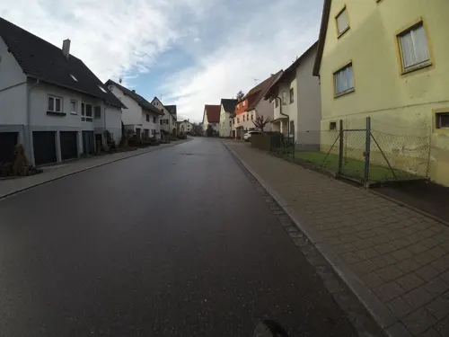




Alter Wasserturm
Monument and historic site · 3.2 km
Erbaut 1957, Höhe, 19,4 Meter, 84 Treppenstufen.

21 more on the map.
Parks, trails and playgrounds24




12 more on the map.
Restaurants and cafes58

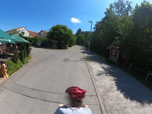
Krabba-Nescht
Restaurant · Regional · 3.8 km
7 Bannstraße, Calw
Mo,We-Fr 17:00-23:00; Su 11:00-22:30; Tu off
Brauhaus Rössle
Restaurant · 5.6 km
8 Obere Torstraße, Neubulach
Mo-Fr 15:00-23:00; Sa, Su, PH 11:00-23:00

Unter den Linden
Restaurant · Croatian, German · 5.1 km
1 Martinslehle, Herrenberg
We-Sa 17:00-22:00; PH,Su 10:00-21:00
Aglioli
Restaurant · Italian · 6.5 km
11 Bühlstraße, Neubulach
We-Sa 17:30-23:00, Su 12:00-14:00; 17:30-23:00
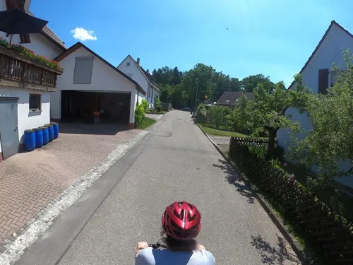
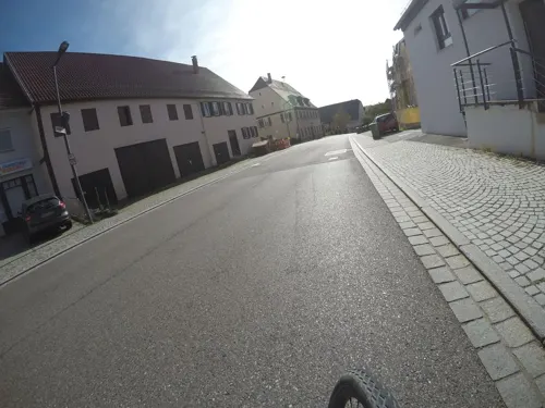
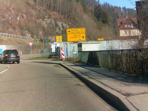


Teinachtal
Restaurant · 6.2 km
1 Neubulacher Straße, Bad Teinach-Zavelstein
Mo-Fr 15:00-22:00; Sa,Su,PH 11:00-22:00
46 more on the map.
History
Wildberg was founded by County of Hohenberg around 1281 at the foot of a castle built around 1200 by the County Palatine of Tübingen. Over the course of the 14th century, Wildberg became a possession of the Electoral Palatinate, who sold it and the towns of Schönbronn, Sulz am Eck, and Gültlingen to the County of Württemberg in 1440. The latter town would not be fully controlled by Württemberg until 1445, when it purchased the properties of other local nobles. These towns would exist in their own district until 1807, when the government of the Kingdom of Württemberg assigned them to Oberamt Nagold, which was dissolved in 1938 and replaced by Landkreis Calw. After World War II, Effringen, Gültlingen and Sulz am Eck established new residential areas but it was not until the 1970s that Wildberg also began growing. In 1971, Schönbronn merged into Wildberg and was followed four years later by Effringen, Gültlingen and Sulz am Eck. Growth slows in Gültlingen, Schönbronn, and Sulz am Eck, but continued in Wildberg into the 1990s.
From the History section of Wildberg, Baden-Württemberg on Wikipedia, under CC BY-SA 4.0.
Where to stay16
Schwarzwald-Sportzentrum Neubulach STS Sport- und Tagungsservice GmbH
Motel and hotel · 6.5 km
11/1 Bühlstraße, Neubulach
Freizeitheim Rötenbachtal des CVJM Nagold
Motel and hotel · 6.1 km
10 Rötenbachweg, Nagold
Churches and places of worship19
Shopping10
Gas and EV charging5
Schools, colleges and libraries16
Healthcare3
Map of Wildberg
198 places. The map loads OpenStreetMap tiles when you open it.
Getting there and nearby towns
Manfred Rommel Airport Stuttgart (STR) is the nearest airport with scheduled flights listed in OpenStreetMap, 36 km away.
- Neubulach 6 km northwest, about 6 min by car
- Oberjettingen 6 km southeast, about 6 min by car
- Ebhausen 6 km southwest, about 6 min by car
- Pforzheim 29 km north, about 29 min by car
- Stuttgart 36 km northeast, about 36 min by car
- Reutlingen 37 km southeast, about 37 min by car
- Karlsruhe 50 km northwest, about 50 min by car
- Winnenden 55 km northeast, about 55 min by car
- Heilbronn 67 km northeast, about 1 h by car
- Heidelberg 87 km north, about 1 h 30 min by car
Drive times are estimates from straight-line distance, not routes.
Local news
Headlines from INDB.
Reviews, tips and questions
Loading what members have shared...
Sources and licences
- GeoNames (CC BY 4.0): population, coordinates, regions and time zone
- Mapillary (see each image): photos
- OpenStreetMap contributors (ODbL 1.0): places, airports, map data
- Wikidata (CC0 1.0): elevation, founding date, time zone, website
- Wikimedia Commons (see each image): photos
- Wikipedia (CC BY-SA 4.0): overview and history text
Photo credits
- Wildberg (Wuerttemberg) - Kernstadt, Unknown author, CC BY-SA 3.0
- Wildberg Kirche SE, Ikar.us, CC BY 3.0 de
- Hexenturm Wildberg, Stefan Karl, CC BY-SA 4.0
- Rathaus Wildberg, Stefan Karl, CC BY-SA 4.0
- Arrestturm Wildberg, Stefan Karl, CC BY-SA 4.0
- Sender Wildberg 01102013 2, Zonk43, CC0
- Funkturm Wildberg 01102013 2, Zonk43, CC0
- Wildberg Kirche, Ikar.us, CC BY 3.0 de
- BahnhofWildberg, Darapti, Public domain
- WildbergHirschbrücke, Darapti, Public domain
- Wildberg Kloster, Ikar.us ( talk ), CC BY 3.0 de
- Wildberg Wanderer-Inschrift, Ikar.us, CC BY 3.0 de
- Pfarrhaus Wildberg, Tragopogon, CC BY-SA 4.0
- Wildberg - panoramio (1), Dg-505, CC BY 3.0
- Pfarrhaus Wildberg 2, Tragopogon, CC BY-SA 4.0
- Besetzte Gasse 10 Wildberg, Tragopogon, CC BY-SA 4.0
- Sender Wildberg 01102013 3, Zonk43, CC0
- Funkturm Wildberg 01102013 1, Zonk43, CC0
- Oaks In Wildberg - panoramio, Dg-505, CC BY 3.0
- Sender Wildberg 01102013 1, Zonk43, CC0
- Wildberg Blick auf Nagoldtal25012016 2, Zonk43, CC BY-SA 3.0
- Wildberg - panoramio, Qwesy, CC BY 3.0
- Rotfelden Kirche, -- Xocolatl ( talk ) 21:46, 31 May 2009 (UTC), Public domain
- Funkstelle Lerchenberg 07052015, Zavijava2, CC BY-SA 3.0
- Burgruine Waldeck (1), Stefan Karl, CC BY-SA 4.0
- Kirche und Turm Ebhausen, Argonautos, CC BY-SA 3.0
- Neubulach mine, Alexander Blum, Attribution
- Schlehenbluete und Kiefernwald am Westhang des Lerchenbergs im NSG Gueltlinger und Holzbronner Heiden, Gunnar Arndt, CC BY 4.0
- Feldweg auf der Gebersackhalde im Naturschutzgebiet Gebersack, Gunnar Arndt, CC BY-SA 4.0
- Naturschutzgebiet Hülbe bei Sulz - Gesamtansicht, Friedi13, CC BY-SA 4.0
- NSG Mindersbacher Tal 01, Friedi13, CC BY-SA 4.0
- Mauerreste Dickener Schlössle, An Di von Ba, CC BY-SA 4.0
- Churches in Neubulach Oberhaugstett Chorbogen Altar, Moleskine, CC BY-SA 4.0
- Holzbronn Bernhardskirche 04, Giftzwerg 88, CC BY-SA 3.0
- Häuser und Straßenansichten Neubulach 02, Giftzwerg 88, CC BY-SA 4.0
- Marienkirche (Effringen) Turm, Moleskine, CC BY-SA 4.0
- Jettingen Oberjettingen Martinskirche, Friedi13, CC BY-SA 4.0
- Michaelskirche (Sulz am Eck) Wehrmauer S, Moleskine, CC BY-SA 4.0
- Neuapostolische Kirche Holzbronn 02, Giftzwerg 88, CC BY-SA 4.0
- Martinskirche Wildberg, Tragopogon, CC BY-SA 4.0
- Getreidemühle in Oberjesingen - panoramio, qwesy qwesy, CC BY 3.0
- SWV Wegweiser CWWI005 Kühlenberg Alter Wasserturm, Karthoo, CC0
- SWV Wegweiser CWEB033 AugenBlick Rotfelden, Karthoo, CC0
- Alter Wasserturm Jettingen - panoramio, qwesy qwesy, CC BY 3.0
- Street-level photo, Planungsgesellschaft_RV-K, CC BY-SA 4.0
- Street-level photo, teddy73, CC BY-SA 4.0
- Street-level photo, mfa, CC BY-SA 4.0
- Street-level photo, Planungsgesellschaft_RV-K, CC BY-SA 4.0
- Street-level photo, ramap, CC BY-SA 4.0
- Street-level photo, nvbwseifert, CC BY-SA 4.0
- Street-level photo, Planungsgesellschaft_RV-K, CC BY-SA 4.0
- Street-level photo, Planungsgesellschaft_RV-K, CC BY-SA 4.0
- Street-level photo, abes, CC BY-SA 4.0
- Street-level photo, mfa, CC BY-SA 4.0
- Street-level photo, mfa, CC BY-SA 4.0
- Street-level photo, teddy73, CC BY-SA 4.0
- Street-level photo, Planungsgesellschaft_RV-K, CC BY-SA 4.0
- Street-level photo, autobahn42, CC BY-SA 4.0


Page built November 8, 2026. Spotted a mistake? Tell us or suggest a place.