
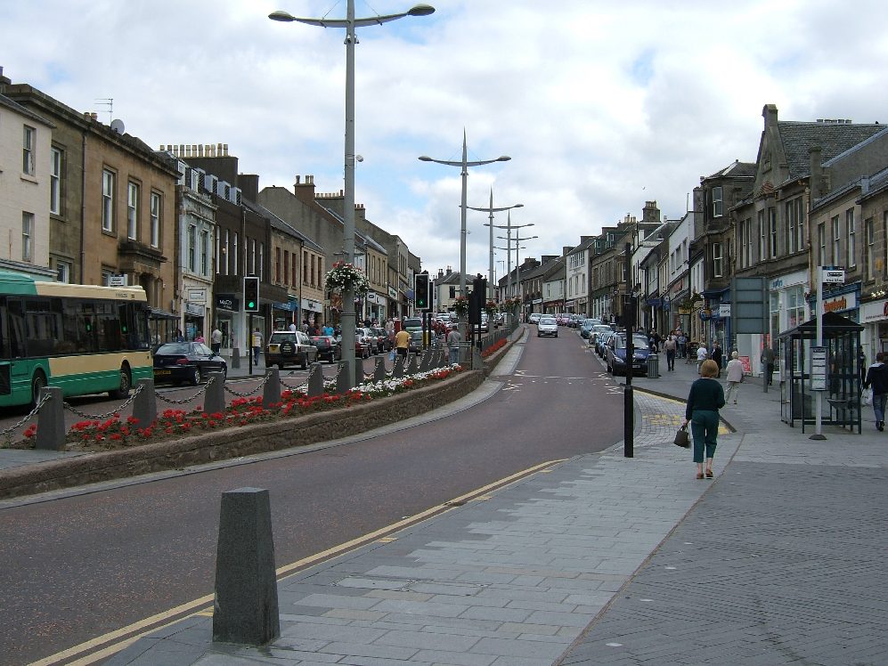


Why visit Lanark
Townapedia lists 29 museums and landmarks, 15 parks and trails, 9 places to eat, 7 places to stay and 12 attractions in and around town.
Highlights include Bonnington Pavilion, Cartland Bridge, Lanark Museum and Robert Owen's House.
Weather in Lanark
Forecast from MET Norway (CC BY 4.0). Full forecast
About Lanark
Lanark ( LAN-ərk; Scottish Gaelic: Lannraig [ˈl̪ˠaun̪ˠɾɪkʲ]; Scots: Lanrik) is a historic market town in South Lanarkshire, Scotland, located 12 miles to the south-east of Hamilton. The town lies on the River Clyde, at its confluence with Mouse Water. It had a population of 8,943 in 2022.
From the Wikipedia article Lanark (this version), under CC BY-SA 4.0.
Travel tips from other travellers: Lanark on Wikivoyage (CC BY-SA 4.0).
Photos of Lanark


Things to do12

Bonnington Pavilion
Waterfall · 1.4 mi
Waterfall in South Lanarkshire, Scotland, UK
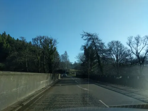
Cartland Bridge
Bridge · 0.9 mi
Bridge north-west of Lanark, South Lanarkshire, Scotland, UK, carries the A73 road across Mouse Water

Falls of Clyde
Waterfall · 1.4 mi
Group of waterfalls in Scotland, United Kingdom
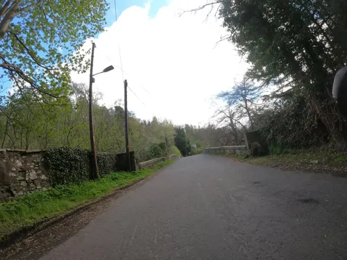
Mousemill New Bridge
Bridge · 0.8 mi
Bridge in South Lanarkshire, Scotland, UK, carries a minor road across Mouse Water



Stonebyres Falls
Waterfall · 1.7 mi
Waterfall in South Lanarkshire, Scotland, UK

Museums and landmarks29



Ruins of Church of St Kentigern's
Monument and historic site · 0.5 mi
March Stone - Meadowburn
Monument and historic site · 1.2 mi
Boundary stone of the Royal Burgh of Lanark
March Stone - Clearburn
Monument and historic site · 0.8 mi
Boundary stone of the Royal Burgh of Lanark
March Stone - Dawes Dames 1
Monument and historic site · 1.1 mi
Boundary stone of the Royal Burgh of Lanark
March Stone - Dawes Dames 2
Monument and historic site · 1.1 mi
Boundary stone of the Royal Burgh of Lanark
March Stone - Jerviswood 1
Monument and historic site · 0.8 mi
Boundary stone of the Royal Burgh of Lanark
March Stone - Jerviswood 2
Monument and historic site · 1.0 mi
Boundary stone of the Royal Burgh of Lanark
17 more on the map.
Parks, trails and playgrounds15



3 more on the map.
Restaurants and cafes9
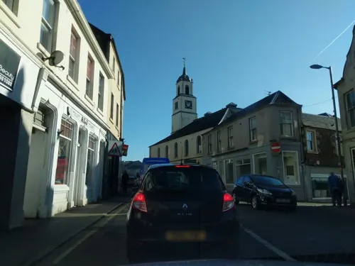


History
The town's name is believed to come from the Brythonic Lanerc meaning "clear space, glade".
In May 1297, the action at Lanark is said to have seen William Wallace, later a prominent figure in the First War of Scottish Independence, joining the uprisings taking place across Scotland with an attack on the English Sheriff of Lanark, William de Heselrig, killing the sheriff and many of his men.
Lanark originally had four town gates: West Port, East Port, Wellgate and Castlegate. West Port gate was demolished in the 1770s. Toll gates were constructed at Cartland Bridge and Lanark Racecourse around 1820. These were relocated to the former site of Lanark Auction Market after tolls were abolished in 1883, but the Cartland Bridge toll gates are still extant, and are protected as a listed building.
Read more of the history
The first aviation meeting in Scotland was held at Lanark Racecourse between 6 and 13 August 1910. This location was chosen because the land was relatively flat, the racecourse already had facilities for a paying public, there were stables to act as hangars for the aeroplanes, and the racecourse was accessible both by road and by rail, especially as the Caledonian Railway Company was prepared to construct a new station near the main entrance. The aeroplanes were transported to the meeting by rail, as aviation technology at the time was not advanced enough to safely fly there. The Lanark meeting took place shortly after a similar event in Bournemouth at which Charles Rolls died. Influenced by this, it was decided that no aircraft would fly closer than 300 yards (270 m) away from the spectators. For the first time, aeroplanes were accurately timed over a straight measured distance, allowing the first world records to be set, covering flights over 1 mile (1.6 km). The meeting was described by The Aero magazine as 'the most successful yet held in Britain'.
A permanent military presence was established in the town with the completion of Winston Barracks in the 1930s.
On 29 June 1953, Queen Elizabeth II visited Lanark to mark her coronation.
From the History section of Lanark on Wikipedia, under CC BY-SA 4.0.
Notable people from Lanark
 Colin McRaeBritish racing driver (1968–2007)Photo: Carolyn, CC BY 2.0
 Stephen McManusScottish association football player (born 1982)Photo: Alasdair Middleton from Rothesay,..., CC BY 2.0
 Alister McRaeScottish rally driverPhoto: bjmullan, CC BY-SA 2.5
 William SmellieScottish obstetrician (1697–1763)Photo: Unknown author, CC BY 4.0
 Stephen PearsonScottish association football player (born 1982)Photo: AlanBurrows, CC BY-SA 4.0
 Jimmy McRaeBritish racing driverPhoto: Scanbus at English Wikipedia (..., CC BY 3.0
 Alison ThewlissScottish politician (born 1982)Photo: Scottish Government, CC BY 4.0
 Lee MillerScottish footballer (born 1983)Photo: Garden, CC BY-SA 3.0
 William LithgowBritish explorerPhoto: Unknown author, Public domain
- Walter SmithScottish soccer player and manager (1948–2021)
- Archibald Douglas, 6th Earl of AngusScottish noble
- Ali CrawfordScottish footballer (born 1991)
Born in Lanark, according to Wikidata (CC0). Each name links to its Wikipedia article.
Where to stay7
Churches and places of worship10
Shopping5
Gas and EV charging3
Schools, colleges and libraries8
Healthcare3
Map of Lanark
101 places. The map loads OpenStreetMap tiles when you open it.
Getting there and nearby towns
Edinburgh Airport (EDI) is the nearest airport with scheduled flights listed in OpenStreetMap, 25 miles away.
- Carluke 5 mi northwest, about 8 min by car
- Law 7 mi northwest, about 11 min by car
- Ashgill 7 mi northwest, about 11 min by car
- Wishaw 8 mi northwest, about 13 min by car
- Larkhall 8 mi northwest, about 13 min by car
- Overtown 8 mi northwest, about 13 min by car
- Newmains 9 mi northwest, about 14 min by car
- Meikle Earnock 11 mi northwest, about 18 min by car
- Motherwell 11 mi northwest, about 18 min by car
- Hamilton 12 mi northwest, about 19 min by car
Drive times are estimates from straight-line distance, not routes.
Towns near Lanark


Keep exploring
Local news
Headlines from INDB.
Reviews, tips and questions
Loading what members have shared...
Sources and licences
- GeoNames (CC BY 4.0): population, coordinates, regions and time zone
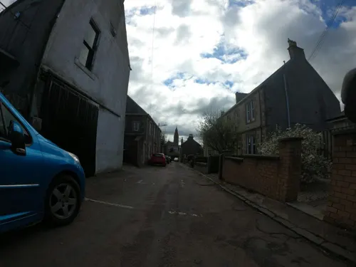
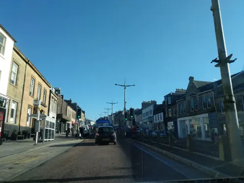
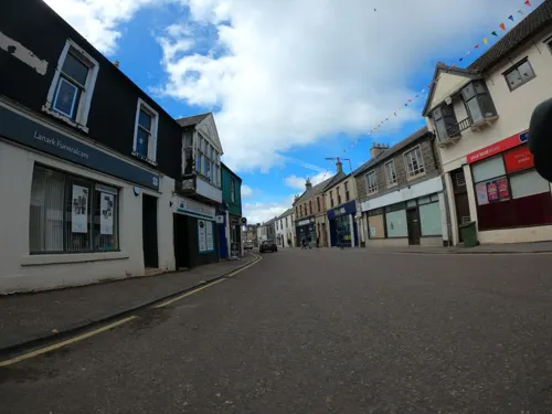
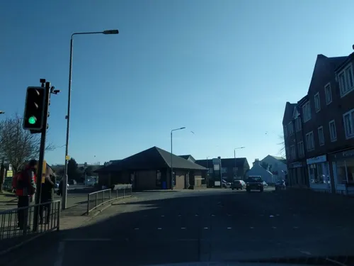
- Mapillary (see each image): photos
- OpenStreetMap contributors (ODbL 1.0): places, airports, map data
- Wikidata (CC0 1.0): elevation, founding date, time zone, website, landmarks and historic places
- Wikimedia Commons (see each image): photos
- Wikipedia (CC BY-SA 4.0): overview and history text
Photo credits
- High Street, Lanark (2006), R Pollack at English Wikipedia, Public domain
- View of Hope Street and Associate Burgher Church, Lanark, Unknown., Public domain
- 12479 Lanark Young Mens Christian Association, Lanark 004, WeeHolly, CC BY-SA 4.0
- 12479 Lanark Young Mens Christian Association, Lanark 003, WeeHolly, CC BY-SA 4.0
- 12479 Lanark Young Mens Christian Association, Lanark 002, WeeHolly, CC BY-SA 4.0
- 12479 Lanark Young Mens Christian Association, Lanark 001, WeeHolly, CC BY-SA 4.0
- Lanimer Champion's Cloak at Lanark Museum, 17 May 2025, Adam Black, CC BY-SA 4.0
- Lightbody Clocks at Lanark Museum, 17 May 2025, Adam Black, CC BY-SA 4.0
- Shoe and Bootmaking Display at Lanark Museum, 17 May 2025 (2), Adam Black, CC BY-SA 4.0
- Horse Shoes at Lanark Museum, 17 May 2025, Adam Black, CC BY-SA 4.0
- List of Master Blacksmiths in the Upper Ward of Lanarkshire at Lanark Museum, 17 May 2025, Adam Black, CC BY-SA 4.0
- "Silver and Gold" Display at Lanark Museum, 17 May 2025, Adam Black, CC BY-SA 4.0
- Shoe and Bootmaking Display at Lanark Museum, 17 May 2025 (1), Adam Black, CC BY-SA 4.0
- William Smellie Display at Lanark Museum, 17 May 2025 (2), Adam Black, CC BY-SA 4.0
- Lanimer Queen Display at Lanark Museum, 17 May 2025, Adam Black, CC BY-SA 4.0
- Brewing at Lanark Museum, 17 May 2025, Adam Black, CC BY-SA 4.0
- Saddlery Tools at Lanark Museum, 17 May 2025, Adam Black, CC BY-SA 4.0
- 1932 Burgh Standard at Lanark Museum, 17 May 2025, Adam Black, CC BY-SA 4.0
- Lanark Railway Station Display at Lanark Museum, 17 May 2025, Adam Black, CC BY-SA 4.0
- Queen Elizabeth I Costume at Lanark Museum, 17 May 2025, Adam Black, CC BY-SA 4.0
- Castlegate, Lanark, 16 May 2025, Adam Black, CC BY-SA 4.0
- Bonnington pavilion detail 2, Rosser1954, Public domain
- Lanark Grammar School (6), Tb240904, Public domain
- St Mary's Church, Lanark, 11 May 2025, Adam Black, CC BY-SA 4.0
- Robert Owen's House, New Lanark, Gordon Brown, CC BY-SA 2.0
- DundaffLinn, R Pollack at English Wikipedia, Public domain
- Corra Linn in spate, 4 November, dave souza, CC BY-SA 4.0
- Lanark Grammar School (1), Tb240904, Public domain
- LANARK, St Mary (26155868487), The National Churches Trust, CC BY 2.0
- The Girnin' Dug, 16 May 2025, Adam Black, CC BY-SA 4.0
- William Wallace Mural (right), Castlegate, 16 May 2025, Adam Black, CC BY-SA 4.0
- William Wallace Mural (left), Castlegate, 16 May 2025, Adam Black, CC BY-SA 4.0
- William Smellie Display at Lanark Museum, 17 May 2025 (1), Adam Black, CC BY-SA 4.0
- Falls Of The Clyde - panoramio, AndrewJGallacher, CC BY-SA 3.0
- Street-level photo, plexi32, CC BY-SA 4.0
- Street-level photo, ccbb7766, CC BY-SA 4.0
- Street-level photo, plexi32, CC BY-SA 4.0
- Street-level photo, ccbb7766, CC BY-SA 4.0
- Street-level photo, ccbb7766, CC BY-SA 4.0
- Street-level photo, ccbb7766, CC BY-SA 4.0
- Street-level photo, plexi32, CC BY-SA 4.0
- Street-level photo, ccbb7766, CC BY-SA 4.0
- Street-level photo, ccbb7766, CC BY-SA 4.0
- Street-level photo, plexi32, CC BY-SA 4.0
- Street-level photo, plexi32, CC BY-SA 4.0
- Street-level photo, ccbb7766, CC BY-SA 4.0
- Street-level photo, ccbb7766, CC BY-SA 4.0
- Street-level photo, ccbb7766, CC BY-SA 4.0
- Street-level photo, plexi32, CC BY-SA 4.0


Page built November 10, 2026. Spotted a mistake? Tell us or suggest a place.