



Hillburn, New York
Hillburn is a village of 1,289 people in Rockland County, New York, founded in 1893.
Why visit Hillburn
Townapedia lists 15 museums and landmarks, 4 parks and trails, 16 places to eat and 5 attractions in and around town.
Highlights include Bald Mountain, High Mountain, Darlington Schoolhouse and Hopper-Van Horn House.
July is the warmest month, with average highs of 84°F; January lows average 20°F.
Weather in Hillburn
Forecast from the National Weather Service. Full forecast
About Hillburn
Hillburn, originally called "Woodburn" and incorporated in 1893, is a village in the town of Ramapo, Rockland County, New York, United States. It is located north of Suffern, east of Orange County, south of Viola, and west of Montebello. It is considered to be one of the more rural communities in Rockland County. The population was 930 at the 2020 census.
From the Wikipedia article Hillburn, New York (this version), under CC BY-SA 4.0.
Things to do5


Museums and landmarks15
Darlington Schoolhouse
Monument and historic site · National Register of Historic Places · 3.4 mi
School building in New Jersey, United States of America

Hopper-Van Horn House
Monument and historic site · National Register of Historic Places · 2.7 mi
Historic house in Mahwah, New Jersey

Jacob Sloat House
Monument and historic site · National Register of Historic Places · 2.3 mi
Historic house in New York, United States

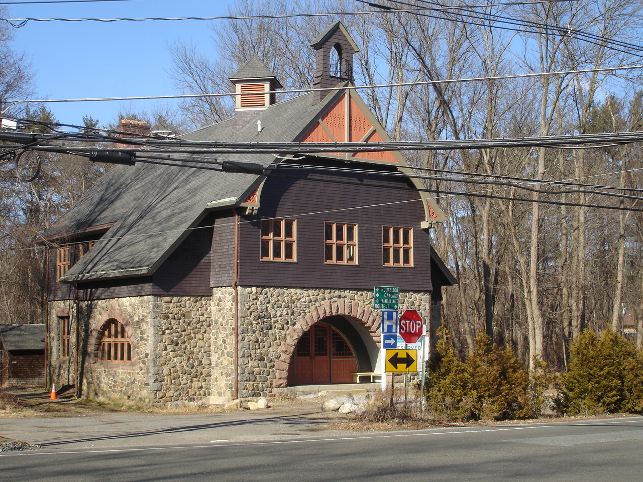
Main School
Monument and historic site · National Register of Historic Places
Historic building in Hillburn, New York, United States

Old Sloatsburg Cemetery
Monument and historic site · National Register of Historic Places · 2.3 mi
Cemetery

Skylands
Monument and historic site · National Register of Historic Places · 3.5 mi
Historic house and garden in Ringwood State Park, New Jersey

Sloat House
Monument and historic site · National Register of Historic Places · 2.1 mi
Historic house in Sloatsburg, New York

Sloat's Dam and Mill Pond
Monument and historic site · National Register of Historic Places · 2.3 mi
Complex of multiple built objects

Torne Brook Farm
Monument and historic site · National Register of Historic Places · 1.0 mi
Historic house in New York, United States

United States Post Office
Monument and historic site · National Register of Historic Places · 1.2 mi
Post office in Suffern, New York


Washington Avenue Soldier's Monument and Triangle
Monument and historic site · National Register of Historic Places · 1.4 mi
Monument in Suffern, New York, United States

Hopper Gristmill Site
Monument and historic site · National Register of Historic Places · 2.0 mi
3 more on the map.
Parks, trails and playgrounds4


Restaurants and cafes16


B-Balls Meatballs
Restaurant · Italian · 1.6 mi
28 Prairie Avenue
Agave Restaurant & Lounge
Restaurant · Mexican · 1.1 mi
100 Orange Avenue, Suffern


Domino's
Fast food · Pizza · 1.2 mi
38 Lafayette Avenue, Suffern
Mo-Th 10:30-01:00; Fr-Sa 10:30-02:00; Su 10:30-01:00
4 more on the map.
History
In addition to later European-American migrants, the area was settled early by descendants of Lenape and other remnant groups, who eventually intermarried with Afro-Dutch and other ethnicities after the Revolutionary War. These multiracial descendants were recognized in 1980 by the state as the Ramapough Mountain Indians; they also have centers of population in Mahwah and Ringwood, New Jersey, which were areas of frontier in the eighteenth and early nineteenth centuries. For many years they lived by farming, hunting and fishing. They tended to marry within their community until the mid-twentieth century.
The village of Hillburn was founded in 1893; that year the first school in Hillburn was built on a plot of ground donated by J.B. Suffern.
In 1943, the attorney Thurgood Marshall won a disparity case regarding integration of the schools of Hillburn, 11 years before his landmark case of Brown v. Board of Education. He represented the village's African-American parents. In 2010, the state legislature designated May 17 as Thurgood Marshall Day in honor of his work in civil rights. Mixed-race children who lived in the town of Ramapo attended the Brook School in Hillburn, a wood structure that did not have a library, indoor bathrooms or gymnasium. The Main School was reserved for white children and included a gymnasium, a library and indoor plumbing.
From the History section of Hillburn, New York on Wikipedia, under CC BY-SA 4.0.
Churches and places of worship9
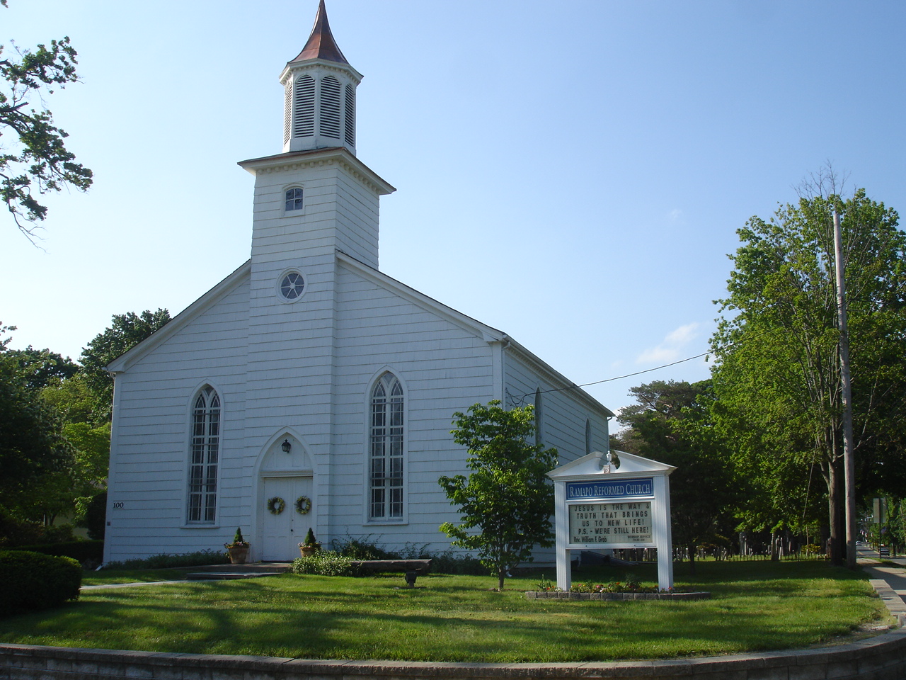
Dutch Reformed Church at Romopock
Church · National Register of Historic Places · 2.4 mi
Shopping2
Schools, colleges and libraries34
East Ramapo Early Childhood Center At Kakiat
School · 5.8 mi
465 Viola Rd, Spring Valley
Edith A. Bogert Elementary School
School · 5.8 mi
391 W Saddle River Rd, Upper Saddle River
Emil A. Cavallini Middle School
School · 5.9 mi
392 W Saddle River Rd, Upper Saddle River
George Grant Mason Elementary School
School · 4.3 mi
11 Hillside Ave, Tuxedo Park
Map of Hillburn
85 places. The map loads OpenStreetMap tiles when you open it.
Climate by month
Monthly table
| Month | High | Low | Rain |
|---|---|---|---|
| Jan | 38°F | 20°F | 3.4 in |
| Feb | 40°F | 20°F | 2.7 in |
| Mar | 48°F | 29°F | 3.9 in |
| Apr | 60°F | 39°F | 4.2 in |
| May | 71°F | 50°F | 3.6 in |
| Jun | 79°F | 58°F | 5.1 in |
| Jul | 84°F | 64°F | 4.7 in |
| Aug | 83°F | 63°F | 4.6 in |
| Sep | 76°F | 56°F | 4.0 in |
| Oct | 64°F | 43°F | 4.4 in |
| Nov | 53°F | 35°F | 3.8 in |
| Dec | 43°F | 27°F | 4.0 in |
U.S. Climate Normals 1991-2020 for Wanaque Raymond Dam (9 mi away), NOAA NCEI.
People and cost of living
American Community Survey 5-year estimates, 2020-2024, U.S. Census Bureau. Estimates have margins of error, larger for small towns.
Disaster history
Rockland County has had 20 federal disaster declarations since 2000, most often for hurricanes.
- 2023-07-22: Severe Storms And Flooding (Severe Storm)
- 2021-09-05: Remnants Of Hurricane Ida (Hurricane)
- 2021-09-02: Remnants Of Hurricane Ida (Hurricane)
- 2021-08-22: Hurricane Henri (Hurricane)
- 2020-10-02: Tropical Storm Isaias (Hurricane)
- 2020-03-20: Covid-19 Pandemic (Biological)
OpenFEMA disaster declarations summaries.
Getting there and nearby towns
Essex County Airport (CDW) is the nearest airport with scheduled flights listed in OpenStreetMap, 19 miles away.
- Suffern 2 mi southeast, about 3 min by car
- Ramapo College of New Jersey 3 mi south, about 5 min by car
- Airmont 4 mi southeast, about 7 min by car
- Ramsey 5 mi south, about 8 min by car
- Monsey 5 mi east, about 8 min by car
- Ringwood 5 mi west, about 9 min by car
- Upper Saddle River 6 mi southeast, about 9 min by car
- Spring Valley 6 mi east, about 10 min by car
- Allendale 7 mi south, about 11 min by car
- Chestnut Ridge 7 mi southeast, about 11 min by car
Drive times are estimates from straight-line distance, not routes.
Local news
Headlines from INDB, the NEMICO news database.
Reviews, tips and questions
Loading what members have shared...
Sources and licences
- NCES EDGE (Public domain): public schools
- NOAA NCEI U.S. Climate Normals 1991-2020 (Public domain): climate by month
- OpenFEMA (Public domain): disaster declarations
- OpenStreetMap contributors (ODbL 1.0): places, airports, map data
- U.S. Census Bureau (Public domain): population, income, housing, education, commute
- Wikidata (CC0 1.0): elevation, founding date, time zone, website, landmarks and historic places
- Wikimedia Commons (see each image): photos
- Wikipedia (CC BY-SA 4.0): overview and history text
Photo credits
- Suffern, NY, post office, Daniel Case, CC BY-SA 3.0
- DutchReformedChurchMahwah, KForce at en.wikipedia, CC BY-SA 3.0
- BrookChapel, JFino, CC BY-SA 3.0
- Washington Avenue Soldiers' Monument, Daniel Case, CC BY-SA 3.0
- TORNE BROOK FARM, RAMAPO, ROCKLAND COUNTY NY, JERRYE & ROY KLOTZ, M.D., CC BY-SA 4.0
- DarlingtonSchoolhouse, KForce at English Wikipedia, CC BY-SA 3.0
- HOPPER-VAN HORN HOUSE, MAHWAH, BERGEN COUNTY, NJ, JERRYE & ROY KLOTZ M.D., CC BY-SA 4.0
- Former Main School building - Hillburn, NY (2010), Doug Kerr from Albany, NY, United States, CC BY-SA 2.0
- Sloat's Dam and Mill Pond 2, Daniel Case, CC BY-SA 3.0
- Old Sloatsburg Cemetery, Daniel Case, CC BY-SA 3.0
- Jacob Sloat House - c1900, Anonymous Unknown author, Public domain
- Sloat House, Sloatsburg, NY, Daniel Case, CC BY-SA 3.0
- Skylands, Mwanner at en.wikipedia, CC BY-SA 3.0
- JOHN A. DEBAUN MILL, ROCKLAND COUNTY, NY, JERRYE & ROY KLOTZ, M.D., CC BY-SA 4.0
- St. Elizabeth's Memorial Chapel (Tuxedo, New York), Firvales73, CC BY-SA 4.0


Page built October 30, 2026. Spotted a mistake? Tell us or suggest a place.