




Why visit Bāqer Tangeh
Townapedia lists 10 places to eat, 1 place to stay and 1 attraction in and around town.
Weather in Bāqer Tangeh
Forecast from MET Norway (CC BY 4.0). Full forecast
About Bāqer Tangeh
Baqer Tangeh (Persian: باقرتنگه) is a village in, and the capital of, Saheli Rural District in the Central District of Babolsar County, Mazandaran province, Iran. It is an eastern suburb of Babolsar city.
From the Wikipedia article Baqer Tangeh (this version), under CC BY-SA 4.0.
Things to do1

Restaurants and cafes10

Aramesh Cafe
Cafe · International · 1.9 km
بلوار دانشگاه
Mo-Su 08:00-00:00

آشپزخانه امیرکبیر
Restaurant · Asian, Kebab · 1.0 km
Mo-Su 10:00-22:00
آشپزخانه دارچین
Restaurant · Kebab, Asian · 2.2 km
Mo-Su 09:00-21:00
سفره خانه سنتی دورهمی
Restaurant · Pizza, Coffee Shop · 1.0 km
Mo-Su 10:00-22:00

Where to stay1

Churches and places of worship4

Shopping18
Gas and EV charging3
Schools, colleges and libraries19
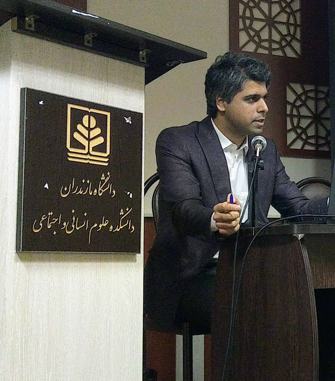
(UMZ) دانشگاه مازندران . University of Mazandaran . جامعة مازندران . Донишгоҳи Мозандарон . د مازندران پوهنتون . Университет Мазандарана . 马赞德兰大学
School · 1.2 km
Map of Bāqer Tangeh
56 places. The map loads OpenStreetMap tiles when you open it.
Getting there and nearby towns
Bishe Kola Air Base (BSM) is the nearest airport with scheduled flights listed in OpenStreetMap, 31 km away.
- Bābolsar 5 km west, about 5 min by car
- Ojāksar 8 km west, about 8 min by car
- Kalleh Bast 10 km southwest, about 10 min by car
- Fereydūn Kenār 17 km west, about 17 min by car
- Bābol 17 km south, about 17 min by car
- Qā’em Shahr 30 km southeast, about 30 min by car
- Sari 36 km southeast, about 36 min by car
- Pol-e Gardan 38 km southeast, about 38 min by car
- Āmol 41 km southwest, about 41 min by car
- Kolāksar 40 km southwest, about 40 min by car
Drive times are estimates from straight-line distance, not routes.
Local news
Headlines from INDB.
Reviews, tips and questions
Loading what members have shared...
Sources and licences
- GeoNames (CC BY 4.0): population, coordinates, regions and time zone
- OpenStreetMap contributors (ODbL 1.0): places, airports, map data
- Wikidata (CC0 1.0): elevation, founding date, time zone, website, landmarks and historic places
- Wikimedia Commons (see each image): photos
- Wikipedia (CC BY-SA 4.0): overview and history text
Photo credits
- Mazandaran University Library, HessaM Saravi, CC BY-SA 3.0
- ISS063-E-57622 - View of Earth, Earth Science and Remote Sensing Unit, NASA Johnson Space Center, Public domain
- ISS063-E-57623 - View of Earth, Earth Science and Remote Sensing Unit, NASA Johnson Space Center, Public domain
- ISS048-E-5281 - View of Earth, Earth Science and Remote Sensing Unit , Lyndon B. Johnson Space Center, Public domain
- Maziar chabok, Mahmitra.abs, CC BY-SA 4.0
- ساحل بابلسر, Mahdinikkhah, CC BY-SA 4.0
- ساحل بابلسر 1, Mahdinikkhah, CC BY-SA 4.0
- ساحل بابلسر3, Mahdinikkhah, CC BY-SA 4.0
- ساحل بابلسر2, Mahdinikkhah, CC BY-SA 4.0
- غروب آفتاب دریای خزر ساحل بابلسر, Mahdinikkhah, CC BY-SA 4.0
- Hunter - panoramio (2), shahram_emile, CC BY 3.0


Page built November 8, 2026. Spotted a mistake? Tell us or suggest a place.