
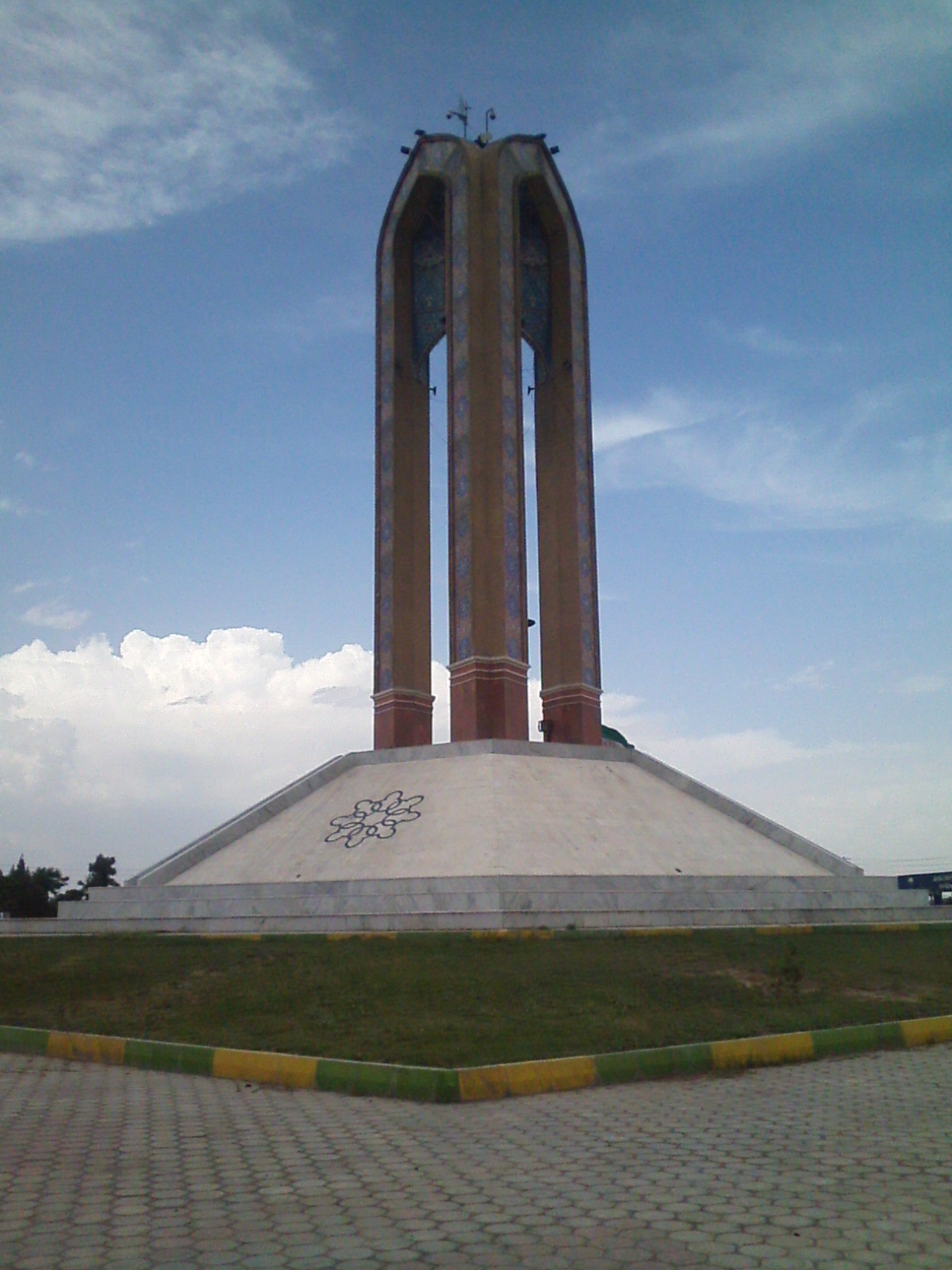


Why visit Eslamshahr
Townapedia lists 4 museums and landmarks, 72 parks and trails, 52 places to eat and 2 attractions in and around town.
Highlights include باغ تالار عمارت باغ زندگی.
Weather in Eslamshahr
Forecast from MET Norway (CC BY 4.0). Full forecast
About Eslamshahr
Eslamshahr (Persian: اسلامشهر), also known as Shadshahr (Persian: شادشهر), is a city in the Central District of Eslamshahr County, Tehran province, Iran. It is the capital of both the county and the district.
From the Wikipedia article Eslamshahr (this version), under CC BY-SA 4.0.
Things to do2

Museums and landmarks4


Parks, trails and playgrounds72

60 more on the map.
Restaurants and cafes52

کافه لیرا
Cafe · Cake, Coffee Shop, Tea, Persian · 1.8 km
۳۷ سینا افراسیابی, اسلامشهر
Saturday-Friday 7:00 - 22:00
کافه گیم روم
Cafe · Coffee Shop, Pizza · 5.2 km
سبزدشت کوچه قاصدک, بهارستان
Mo-Su 09:00-21:00

طباخی دلچسب
Restaurant · 1.1 km
سلمان فارسی, اسلامشهر
Mo-Su 09:00-21:00

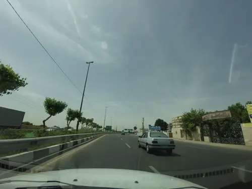
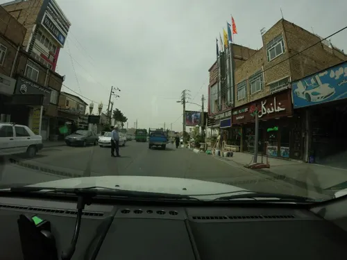


40 more on the map.
History
From January 17 to 18, 2026, as part of the 2025–2026 Iranian protests, youths attacked the local Ghaemiyeh police station.
An airstrike struck a residential building in the city on April 6, 2026, during the 2026 Iran war, killing at least 13 people.
From the History section of Eslamshahr on Wikipedia, under CC BY-SA 4.0.
Churches and places of worship33
Shopping32
amniat gostar iranian
Hardware store · 0.7 km
بلوار بسیج مستضعفین, زیرزمین واحد 3
Gas and EV charging15
Schools, colleges and libraries87
Healthcare44
داروخانه دکتر صنم بهلولی خیاوی
Clinic and pharmacy · 0.8 km
99 امام خمینی, نبش عرفان یکم
داروخانه دکتر محسنی نیا
Clinic and pharmacy · 1.4 km
اسلامشهر خیابان امام محمد باقر, تهران
کلینیک نوین
Clinic and pharmacy · 1.2 km
444 اسلامشهر، باغ فیض، بین کوچه اول و سوم, eslamshahr
Map of Eslamshahr
250 places. The map loads OpenStreetMap tiles when you open it.
Getting there and nearby towns
Mehrabad International Airport (THR) is the nearest airport with scheduled flights listed in OpenStreetMap, 16 km away.
- Golestān 6 km southwest, about 6 min by car
- Ṣāleḥīeh 7 km southwest, about 7 min by car
- Robāţ Karīm 16 km southwest, about 16 min by car
- Bāqershahr 16 km east, about 16 min by car
- Shahrīār 20 km northwest, about 20 min by car
- Ḩasanābād 21 km south, about 21 min by car
- Tehran 23 km northeast, about 23 min by car
- Qods 22 km northwest, about 22 min by car
- Shahre Jadide Andisheh 24 km northwest, about 24 min by car
- Parand 25 km west, about 25 min by car
Drive times are estimates from straight-line distance, not routes.
Local news
Headlines from INDB.
Reviews, tips and questions
Loading what members have shared...
Sources and licences
- GeoNames (CC BY 4.0): population, coordinates, regions and time zone
- Mapillary (see each image): photos
- OpenStreetMap contributors (ODbL 1.0): places, airports, map data
- Wikidata (CC0 1.0): elevation, founding date, time zone, website
- Wikimedia Commons (see each image): photos
- Wikipedia (CC BY-SA 4.0): overview and history text
Photo credits
- Meidan namaz2, درپیت, CC BY-SA 4.0
- 2010-06-15 16-10-27 Tabriz - Tehran, Hansueli Krapf, CC BY-SA 3.0
- آموزشگاه حسابداری رهافرین, Hasan.aghdasi, CC0
- پارکینگ مکانیزه 1, Smartparking.mahdi, CC BY-SA 4.0
- ميدان نماز - panoramio, Mojtaba zali, CC BY 3.0
- میدان نماز - panoramio, Mojtaba zali, CC BY 3.0
- Hamid pic11, Hamidabdolali, CC BY-SA 4.0
- Hamid pic8, Hamidabdolali, CC BY-SA 4.0
- Hamid pic12, Hamidabdolali, CC BY-SA 4.0
- Hamid pic10, Hamidabdolali, CC BY-SA 4.0
- Hamid pic9, Hamidabdolali, CC BY-SA 4.0
- Pic hamid05, Hamidabdolali, CC BY-SA 4.0
- Pic hamid 01, Hamidabdolali, CC BY-SA 4.0
- Pic hamid 04, Hamidabdolali, CC BY-SA 4.0
- Pic hamid 03, Hamidabdolali, CC BY-SA 4.0
- Pic hamid 02, Hamidabdolali, CC BY-SA 4.0
- Pic hamid06, Hamidabdolali, CC BY-SA 4.0
- ابتدای شهرک کامیون داران - panoramio, Mojtaba zali, CC BY 3.0
- کامیونت دیما, Mafco2010, CC BY-SA 4.0
- کامیون 19 تُن دیما, Mafco2010, CC BY-SA 4.0
- Vavan hill-tehran 3, Mehdi Khosravi, CC BY-SA 4.0
- Vavan hill-tehran 1, Mehdi Khosravi, CC BY-SA 4.0
- Vavan hill-tehran 4, Mehdi Khosravi, CC BY-SA 4.0
- Vavan hill-tehran 2, Mehdi Khosravi, CC BY-SA 4.0
- Vavan towers, Rizorius, CC BY-SA 4.0
- Vavan hill,Tehran, Iran, Mehdi Khosravi, CC BY-SA 4.0
- آب انبار ترشنبه - panoramio, Mojtaba zali, CC BY 3.0
- 2010-06-15 16-11-15 Tabriz - Tehran, Hansueli Krapf, CC BY-SA 3.0
- گلدسته - panoramio (5), Mojtaba zali, CC BY 3.0
- Street-level photo, mohammadjavad72, CC BY-SA 4.0
- Street-level photo, mohammadjavad72, CC BY-SA 4.0
- Street-level photo, mohammadjavad72, CC BY-SA 4.0
- Street-level photo, mohammadjavad72, CC BY-SA 4.0
- Street-level photo, mohammadjavad72, CC BY-SA 4.0
- Street-level photo, mohammadjavad72, CC BY-SA 4.0
- Street-level photo, alizangeneh, CC BY-SA 4.0
- Street-level photo, mohammadjavad72, CC BY-SA 4.0
- Street-level photo, mohammadjavad72, CC BY-SA 4.0
- Street-level photo, mohammadjavad72, CC BY-SA 4.0


Page built November 8, 2026. Spotted a mistake? Tell us or suggest a place.