


Why visit Qods
Townapedia lists 30 parks and trails, 27 places to eat and 1 place to stay in and around town.
Highlights include Shohada Shahr-e Qods Stadium.
Weather in Qods
Forecast from MET Norway (CC BY 4.0). Full forecast
About Qods
Qods (Persian: قدس) is a city in the Central District of Qods County, Tehran province, Iran, serving as capital of both the county and the district.
From the Wikipedia article Qods, Iran (this version), under CC BY-SA 4.0.
Parks, trails and playgrounds30


18 more on the map.
Restaurants and cafes27

قهوه کنیا
Cafe · Coffee Shop · 2.1 km
شهرداری, شهر قدس
Mo-Su 08:00-22:30




15 more on the map.
Where to stay1

Churches and places of worship51

39 more on the map.
Shopping18
فروشگاه ابزار ماتریس (ابزار کیوان)
Hardware store · 1.5 km
پلاک 517 بلوار 45 متری کلهر ، نبش کوچه بوستان, شهر قدس
کارارا اسپرت - فروشگاه لوازم ورزشی - کارارابگ
Grocery
10 بلوار سلیمانی کوچه متین طبقه اول فروشگاه کارارا اسپرت, شهر قدس
شایان پیچ
Hardware store · 1.3 km
تهران_شهر قدس ۴۵متری انقلاب نبش صنعت چهارم فروشگاه شایان پیچ, تهران
Gas and EV charging2
Schools, colleges and libraries38
Healthcare32
کلینیک پوست و مو و لیزر نیک رویان
Clinic and pharmacy
بلوار. امام حسین (ع), تهران
Ali Asghar Comprehensive Health Services
Clinic and pharmacy · 1.3 km
28 بلوار شهدا
Map of Qods
199 places. The map loads OpenStreetMap tiles when you open it.
Getting there and nearby towns
Mehrabad International Airport (THR) is the nearest airport with scheduled flights listed in OpenStreetMap, 18 km away.
- Shahrīār 8 km southwest, about 8 min by car
- Shahre Jadide Andisheh 9 km southwest, about 9 min by car
- Karaj 16 km northwest, about 16 min by car
- Eslamshahr 22 km southeast, about 22 min by car
- Golestān 24 km south, about 24 min by car
- Ṣāleḥīeh 25 km south, about 25 min by car
- Robāţ Karīm 26 km south, about 26 min by car
- Tehran 28 km east, about 28 min by car
- Tajrīsh 30 km east, about 30 min by car
- Parand 30 km southwest, about 30 min by car
Drive times are estimates from straight-line distance, not routes.
Local news
Headlines from INDB.
Reviews, tips and questions
Loading what members have shared...
Sources and licences
- GeoNames (CC BY 4.0): population, coordinates, regions and time zone
- Mapillary (see each image): photos
- OpenStreetMap contributors (ODbL 1.0): places, airports, map data
- Wikidata (CC0 1.0): elevation, founding date, time zone, website
- Wikimedia Commons (see each image): photos
- Wikipedia (CC BY-SA 4.0): overview and history text
Photo credits
- Ghods-Citi (4), Manart, CC BY-SA 3.0
- ورزشگاه شهدای شهرقدس2, Mahdijoekar, CC BY-SA 4.0
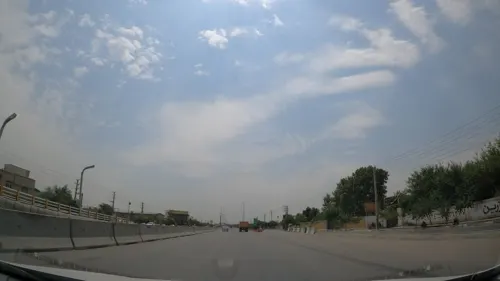
- Street-level photo, bigbang001, CC BY-SA 4.0
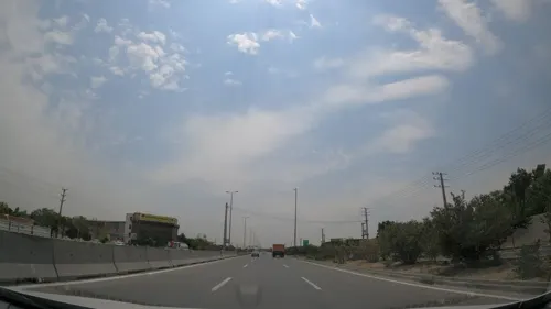
- Street-level photo, bigbang001, CC BY-SA 4.0
Page built November 8, 2026. Spotted a mistake? Tell us or suggest a place.