


Why visit Khalīlābād
Townapedia lists 1 museum or landmark, 2 parks and trails, 9 places to eat and 2 places to stay in and around town.
Highlights include Marlik.
Weather in Khalīlābād
Forecast from MET Norway (CC BY 4.0). Full forecast
About Khalīlābād
Rudbar (Persian: رودبار) is a city in the Central District of Rudbar County, Gilan province, Iran, serving as capital of both the county and the district.
From the Wikipedia article Rudbar (this version), under CC BY-SA 4.0.
Museums and landmarks1

Marlik
Monument and historic site · 4.6 km
Archaeological site in Iran
Parks, trails and playgrounds2

Restaurants and cafes9

رستوران سرچشمه ۲
Restaurant · 1.7 km
رشت - قزوین, رودبار
Mo-Su 12:00-24:00



Where to stay2

History
The civilization of Rudbar and its surroundings date back to about 3000 years BCE. The Marlik bowl, a famous archeological artifact and one of the oldest gold bowls in the world from 1st millennium BC, was found there. With the advent of Islam, tribes from Damascus and Halab (Aleppo) immigrated and became settlers there. Later, Nizari Isma'ili da'i made inroads and eventually established an Assassin stronghold. During the reign of Nader Shah, groups from the Kurds of Quchan and areas of northern Khorasan also settled there.
Benjamin of Tudela reported that Rudbar had 20,000 Jews in 1170.
Rudbar was near the epicenter of the 1990 Manjil–Rudbar earthquake of magnitude 7.3 on the Richter scale (MS=7.7, MW=7.3, mb=6.4) at 12:31am local time on 21 June 1990, that killed around 50,000 and injured 100,000 city residents. Despite reconstruction, it has not fully recovered.
From the History section of Rudbar on Wikipedia, under CC BY-SA 4.0.
Shopping3
Healthcare1
Map of Khalīlābād
18 places. The map loads OpenStreetMap tiles when you open it.
Getting there and nearby towns
Rasht Airport (RAS) is the nearest airport with scheduled flights listed in OpenStreetMap, 60 km away.
- Manjīl 7 km south, about 7 min by car
- Pādegān-e Manjīl 8 km south, about 8 min by car
- Fūman 47 km north, about 47 min by car
- Rasht 54 km north, about 54 min by car
- Lāhījān 69 km northeast, about 1 h 15 min by car
- Khoshk Bījār 70 km northeast, about 1 h 15 min by car
- Bandar-e Anzalī 74 km north, about 1 h 15 min by car
- Abhar 76 km south, about 1 h 15 min by car
- Qazvin 80 km southeast, about 1 h 15 min by car
- Zanjan 83 km west, about 1 h 30 min by car
Drive times are estimates from straight-line distance, not routes.
Local news
Headlines from INDB.
Reviews, tips and questions
Loading what members have shared...
Sources and licences
- GeoNames (CC BY 4.0): population, coordinates, regions and time zone
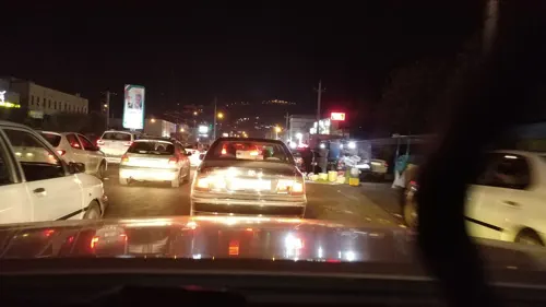
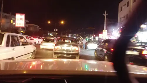
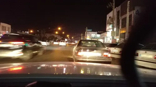
- Mapillary (see each image): photos
- OpenStreetMap contributors (ODbL 1.0): places, airports, map data
- Wikidata (CC0 1.0): elevation, founding date, time zone, website, landmarks and historic places
- Wikimedia Commons (see each image): photos
- Wikipedia (CC BY-SA 4.0): overview and history text
Photo credits
- KhalilAbad, HKL135, CC BY-SA 4.0
- Cup with a frieze of gazelles, Unknown author, CC0
- Chandelier Lilium, Esmail Golshan Mojdehi, CC BY-SA 3.0
- Khalil Abad, Gilan Province, Iran - panoramio, هاوبەشی مامە دارا, CC BY 3.0
- Aryajafari6, Aryakayak, CC BY-SA 4.0
- Aryajafari5, Aryakayak, CC BY-SA 4.0
- Khalil Abad, Gilan Province, Iran - panoramio (1), هاوبەشی مامە دارا, CC BY 3.0
- The Plane Model - panoramio, Ali Safdarian, CC BY 3.0
- Near the plane model - panoramio, Ali Safdarian, CC BY 3.0
- The Plane Model - panoramio (1), Ali Safdarian, CC BY 3.0
- Rudbar, Gilan Province, Iran - panoramio, هاوبەشی مامە دارا, CC BY 3.0
- Rudbar, Gilan Province, Iran - panoramio (1), هاوبەشی مامە دارا, CC BY 3.0
- ISS040-E-103442 - View of Earth, Earth Science and Remote Sensing Unit , Lyndon B. Johnson Space Center, Public domain
- Residental Buildings above the mountain - panoramio (1), Ali Safdarian, CC BY 3.0
- Residental Buildings above the mountain - panoramio, Ali Safdarian, CC BY 3.0
- Street-level photo, bayqush, CC BY-SA 4.0
- Street-level photo, bayqush, CC BY-SA 4.0
- Street-level photo, bayqush, CC BY-SA 4.0
- Street-level photo, bayqush, CC BY-SA 4.0
- Street-level photo, bayqush, CC BY-SA 4.0


Page built November 8, 2026. Spotted a mistake? Tell us or suggest a place.