
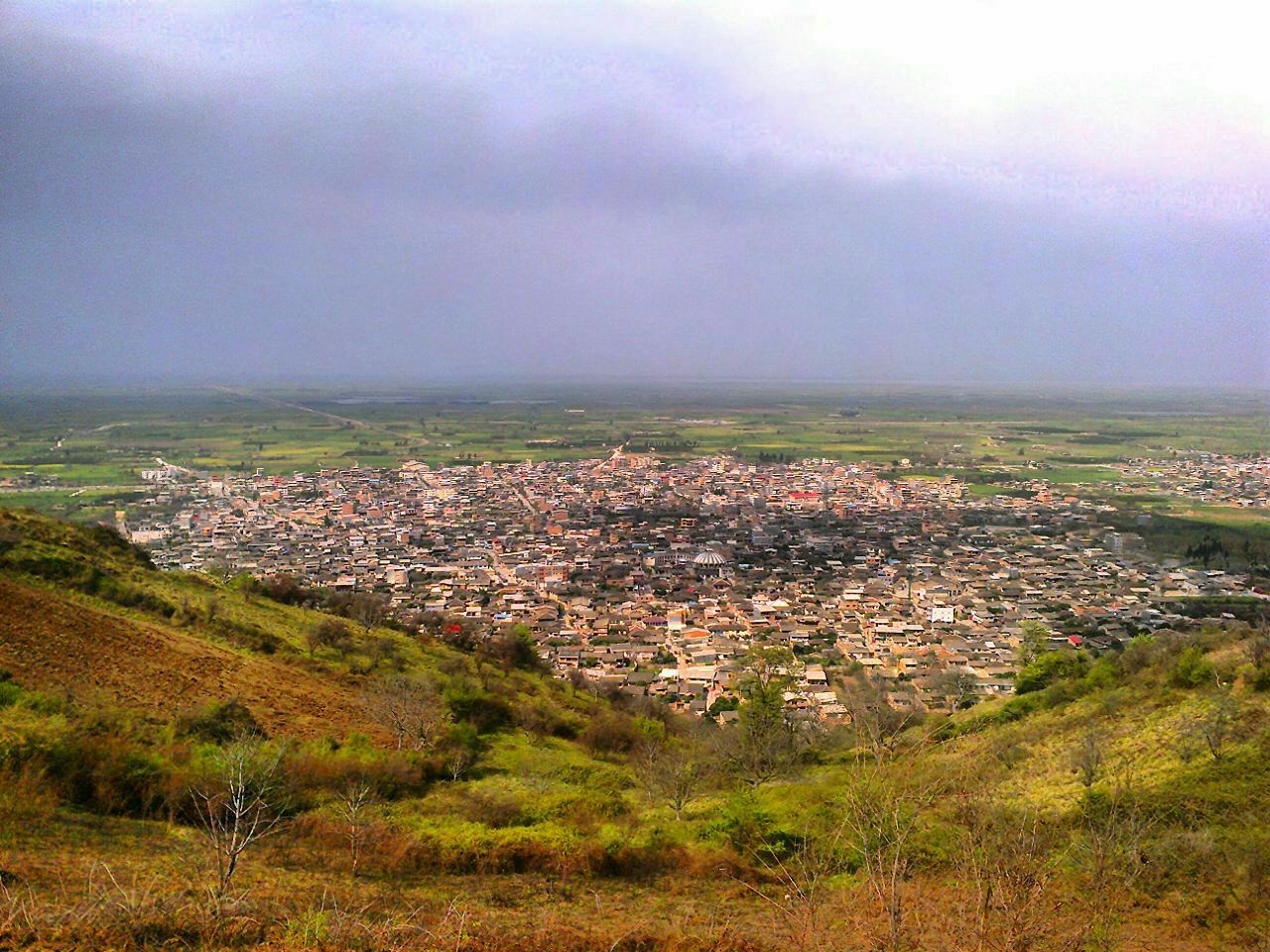

Why visit Rostam Kolā
Townapedia lists 1 museum or landmark in and around town.
Weather in Rostam Kolā
Forecast from MET Norway (CC BY 4.0). Full forecast
About Rostam Kolā
Rostamkola (Persian: رستمکلا) is a city in the Central District of Behshahr County, Mazandaran province, Iran.
From the Wikipedia article Rostamkola (this version), under CC BY-SA 4.0.
Museums and landmarks1

Churches and places of worship5

Gas and EV charging1

Schools, colleges and libraries2

History
The origin of the name 'Rostamkela' is not known for certain, but local folklore connects it with a man named Rostam (to be identified possibly with the legendary warrior of that name) who helped unite the people of the area.
The main economic activity is based on Agriculture. Other productions are Avi-culture, Brick manufacturing, Flour manufacturing, Metal Industries and Limestone.
The first school was built in 1925. In addition, Rostamkela has a religious school that was built by Allameh Ayazi.
During the reign of Reza Shah, the Trans-Iranian Railway was constructed and Rostamkela Depot was built at the same time.
There is a special railway which conveys from Rostamkela to Amir Abad seaport and a special road will be opened between them soon.
Qanat was used to provide reliable supply water for irrigation in Rostamkela.
Rostamkela is located in ancient district which included Gorji Mahale, Asiabsar, Kouhestan, Troujan villages.
Rostamkola preserves several historical structures dating back to the Qajar era, including the Soltani and Haj Hasan tekyehs, the Alizade and Farahi hoseiniehs, and the traditional Rostamkelaei and Tavakeli houses. Additionally, the local Imamzadeh building dates back several centuries.
There are many beautiful places in Rostamkela such as Mirevoun (Mehravan, a famous place that is located in jungle).
From the History section of Rostamkola on Wikipedia, under CC BY-SA 4.0.
Healthcare2
Map of Rostam Kolā
11 places. The map loads OpenStreetMap tiles when you open it.
Getting there and nearby towns
Sari Dasht-e-Naz International Airport (SRY) is the nearest airport with scheduled flights listed in OpenStreetMap, 22 km away.
- Behshahr 11 km east, about 11 min by car
- Pol-e Gardan 35 km southwest, about 35 min by car
- Sari 35 km west, about 35 min by car
- Gol Chīnī 36 km southwest, about 36 min by car
- Qā’em Shahr 55 km southwest, about 55 min by car
- Bāqer Tangeh 65 km west, about 1 h by car
- Bābol 68 km west, about 1 h 15 min by car
- Bābolsar 69 km west, about 1 h 15 min by car
- Kalleh Bast 71 km west, about 1 h 15 min by car
- Fereydūn Kenār 81 km west, about 1 h 15 min by car
Drive times are estimates from straight-line distance, not routes.
Local news
Headlines from INDB.
Reviews, tips and questions
Loading what members have shared...
Sources and licences
- GeoNames (CC BY 4.0): population, coordinates, regions and time zone
- OpenStreetMap contributors (ODbL 1.0): places, airports, map data
- Wikidata (CC0 1.0): elevation, founding date, time zone, website
- Wikimedia Commons (see each image): photos
- Wikipedia (CC BY-SA 4.0): overview and history text
Photo credits
- Rostamcity, Mhmd.nr, CC BY-SA 4.0
Page built November 8, 2026. Spotted a mistake? Tell us or suggest a place.