
Why visit Vājārgāh
Townapedia lists 1 place to eat in and around town.
Weather in Vājārgāh
Forecast from MET Norway (CC BY 4.0). Full forecast
About Vājārgāh
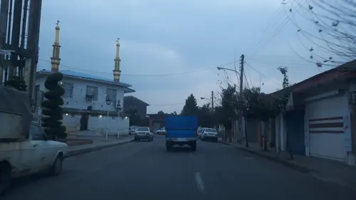
Vajargah (Persian: واجارگاه) is a city in Kelachay District of Rudsar County, Gilan province, Iran.
From the Wikipedia article Vajargah (this version), under CC BY-SA 4.0.
Restaurants and cafes1
Churches and places of worship1
Gas and EV charging1
Schools, colleges and libraries1

History
The old Vajargah village, which was in Deylaman region (now Otaqvar District), had between 10-20 households. It consisted of two neighborhoods: "Jur Vajargah" (Gilaki: جور واجارگاه, meaning upper Vajargah) whose residents were active in livestock keeping, and "Jir Vajargah" (Gilaki: جیر واجارگاه, meaning lower Vajargah) whose residents were involved in farming.
One of the families migrated east to Kelachay region, purchasing lands and settling there. They also named their new place after their homeland, Vajargah, consisting of five neighborhoods: Jur Sareh, Min Sareh, Jir Sareh, Own Dim Sareh, Amirali Sareh.
Over time, due to the fertile soil of the area, "Vajargah" became a new place for farming and agricultural activities, and its population increased, gradually becoming a concentrated, city-like settlement. The residents of the new areas, who were scattered across vast tracts of land, formed neighborhoods for themselves, which are known today as Bandbon, Salim Sara, Baghdasht, Gav Mast, etc.
The first school in Vajargah was established in 1949. In 1950s several tea factories were built in Vajargah, making it one of the largest employment and economic centers in the Kalachay and eastern Gilan regions and one of the largest center of tea factories.
From the History section of Vajargah on Wikipedia, under CC BY-SA 4.0.
Map of Vājārgāh
4 places. The map loads OpenStreetMap tiles when you open it.
Getting there and nearby towns
Ramsar International Airport (RZR) is the nearest airport with scheduled flights listed in OpenStreetMap, 29 km away.
- Bībālān-e Pā’īn 2 km northwest, about 2 min by car
- Sīāhkalrūd 3 km southeast, about 3 min by car
- Chāykhānsar 4 km east, about 4 min by car
- Kalā Chāy 5 km north, about 5 min by car
- Rāmsar 25 km southeast, about 25 min by car
- Lāhījān 40 km northwest, about 40 min by car
- Tonekābon 48 km southeast, about 48 min by car
- Khoshk Bījār 68 km northwest, about 1 h 15 min by car
- Rasht 77 km west, about 1 h 15 min by car
- Salmānshahr 80 km southeast, about 1 h 15 min by car
Drive times are estimates from straight-line distance, not routes.
Local news
Headlines from INDB.
Reviews, tips and questions
Loading what members have shared...
Sources and licences
- GeoNames (CC BY 4.0): population, coordinates, regions and time zone
- Mapillary (see each image): photos
- OpenStreetMap contributors (ODbL 1.0): places, airports, map data
- Wikidata (CC0 1.0): elevation, founding date, time zone, website
- Wikipedia (CC BY-SA 4.0): overview and history text
Photo credits
- Street-level photo, alilenz, CC BY-SA 4.0
- Street-level photo, alilenz, CC BY-SA 4.0
- Street-level photo, alilenz, CC BY-SA 4.0
Page built November 8, 2026. Spotted a mistake? Tell us or suggest a place.