


Why visit Varāmīn
Townapedia lists 6 museums and landmarks, 17 parks and trails, 13 places to eat and 1 attraction in and around town.
Highlights include Aladdin Tower and Imamzadeh Husayn Reza.
Weather in Varāmīn
Forecast from MET Norway (CC BY 4.0). Full forecast
About Varāmīn
Varamin (Persian: ورامين; ) is a city in the Central District of Varamin County, Tehran province, Iran, serving as capital of both the county and the district.
From the Wikipedia article Varamin (this version), under CC BY-SA 4.0.
Travel tips from other travellers: Varāmīn on Wikivoyage (CC BY-SA 4.0).
Things to do1

Museums and landmarks6

Aladdin Tower
Monument and historic site
Mausoleum tower in Varamin, Iranian national heritage site

Imamzadeh Husayn Reza
Monument and historic site · 1.6 km
Imamzadeh tower in Varamin, Iranian national heritage site

Imamzadeh Yahya (Varamin)
Monument and historic site · 0.9 km
Imamzadeh in Varamin, Iranian national heritage site

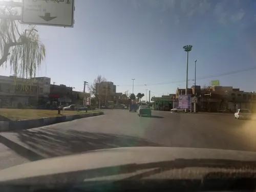
Parks, trails and playgrounds17

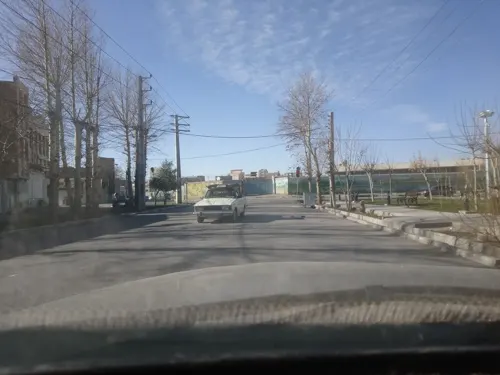

5 more on the map.
Restaurants and cafes13


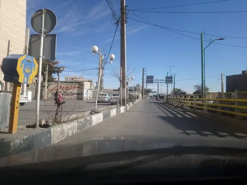



1 more on the map.
History
Until 1220s, Varamin was an agricultural center of Ray. The raiding of Ray by the invading Mongols caused a flux of migration and economical growth during Mongol Ilkhanid rule. Thus, Varamin developed into an urban center. A Vizier of Ilkhanid Abu Sa'id, named Yusuf Quhadhi built the Jameh Mosque of Varamin. Other significant monuments from this era include mausoleum of Imamzadeh Yahya, Aladdin Tower, Imamzadeh Shah Husayn, and Sharif mosque. At the turn of 14th century, Varamin started to decline due to Timurid Empire armies' invasions. In 1405, Ruy González de Clavijo described the city as mostly deserted, although during early Timurid rule, a minor restoration was applied to the Jameh mosque and Imamzadeh Hosein Reza was built. By 16th century, Tehran started to grow as the major city of the region.
From the History section of Varamin on Wikipedia, under CC BY-SA 4.0.
Churches and places of worship12
Shopping4
Gas and EV charging3
Schools, colleges and libraries39
Healthcare21
دکتر پریسا پورسیدرضا متخصص زنان و زایمان
Clinic and pharmacy · 1.1 km
مصطفی خمینی, ورامین
Map of Varāmīn
116 places. The map loads OpenStreetMap tiles when you open it.
Getting there and nearby towns
Imam Khomeini International Airport (IKA) is the nearest airport with scheduled flights listed in OpenStreetMap, 46 km away.
- Pīshvā 8 km east, about 8 min by car
- Pākdasht 17 km north, about 17 min by car
- Bāqershahr 32 km northwest, about 32 min by car
- Ḩasanābād 38 km west, about 38 min by car
- Eslamshahr 45 km northwest, about 45 min by car
- Ṣāleḥīeh 46 km northwest, about 46 min by car
- Tehran 46 km northwest, about 46 min by car
- Golestān 47 km northwest, about 47 min by car
- Pardīs 49 km north, about 49 min by car
- Robāţ Karīm 54 km west, about 54 min by car
Drive times are estimates from straight-line distance, not routes.
Local news
Headlines from INDB.
Reviews, tips and questions
Loading what members have shared...
Sources and licences
- GeoNames (CC BY 4.0): population, coordinates, regions and time zone
- Mapillary (see each image): photos
- OpenStreetMap contributors (ODbL 1.0): places, airports, map data
- Wikidata (CC0 1.0): elevation, founding date, time zone, website, landmarks and historic places
- Wikimedia Commons (see each image): photos
- Wikipedia (CC BY-SA 4.0): overview and history text
Photo credits
- امامزاده یحیی ورامین 8, Nimaelf92, CC BY-SA 4.0
- معماری برج 06, Ramaramin, CC BY-SA 4.0
- Hosseinreza, Varamin, Pouyakhani, CC BY-SA 4.0
- Imamzadeh Yaha, Varamin, Pouyakhani, CC BY-SA 4.0
- معماری برج 05, Ramaramin, CC BY-SA 4.0
- معماری برج 01, Ramaramin, CC BY-SA 4.0
- معماری برج 04, Ramaramin, CC BY-SA 4.0
- معماری برج 07, Ramaramin, CC BY-SA 4.0
- معماری برج 03, Ramaramin, CC BY-SA 4.0
- معماری برج 02, Ramaramin, CC BY-SA 4.0
- Dome Seyyed Fatholla, Khenamothara, CC BY-SA 4.0
- Entrance Fatholla, Khenamothara, CC BY-SA 4.0
- Inscribtions Fatholla, Khenamothara, CC BY-SA 4.0
- Entrance 1 Fathollah, Khenamothara, CC BY-SA 4.0
- 005 نمای بیرونی مسجد جامع ورامین, نادر مظلومی, CC BY-SA 4.0
- 010 نمای داخلی مسجد جامع ورامین - حیاط مسجد, نادر مظلومی, CC BY-SA 4.0
- Masjed Jame varamin, محمدعلی مومنی, CC BY-SA 4.0
- مسجد-جامع-03, Hamed.gisoo, CC BY 4.0
- مسجد-جامع-02, Hamed.gisoo, CC BY 4.0
- VaraminMosque1, Aminfadakarr, CC BY-SA 4.0
- 01مسجد-جامع, Hamed.gisoo, CC BY 4.0
- 006 نمای بیرونی مسجد جامع ورامین, نادر مظلومی, CC BY-SA 4.0
- Masjed varamin 2022, Khenamothara, CC BY-SA 4.0
- Dome of Jameh Mosque in Varamin, Orijentolog, CC BY-SA 3.0
- Varamin Sugar Refinery, Pouyakhani, CC BY-SA 3.0
- Mahestan restaurant,Varamin رستوران مهستان - panoramio, Mahdi Kalhor, CC BY 3.0
- Varamin square رزمنده موتور سوار - panoramio, Mahdi Kalhor, CC BY 3.0
- Shaghayegh park,Varamin ورودی پارک شقایق-یامان شهدا - panoramio, Mahdi Kalhor, CC BY 3.0
- Park,Varamin نمای شرقی پارک شقایق - panoramio, Mahdi Kalhor, CC BY 3.0
- Street-level photo, alizangeneh, CC BY-SA 4.0
- Street-level photo, ardestani710, CC BY-SA 4.0
- Street-level photo, alizangeneh, CC BY-SA 4.0
- Street-level photo, pilsa, CC BY-SA 4.0
- Street-level photo, pilsa, CC BY-SA 4.0
- Street-level photo, alizangeneh, CC BY-SA 4.0
- Street-level photo, alizangeneh, CC BY-SA 4.0


Page built November 8, 2026. Spotted a mistake? Tell us or suggest a place.