




Why visit Vogar
Townapedia lists 3 museums and landmarks, 1 park or trail, 1 place to eat, 2 places to stay and 1 attraction in and around town.
Weather in Vogar
Forecast from MET Norway (CC BY 4.0). Full forecast
About Vogar
Vogar (Icelandic pronunciation: [ˈvɔːɣar̥] ) is a small town in the southwest of Iceland. It is the seat of the municipality of Vogar (Sveitarfélagið Vogar). There is a highly automated atmospheric gas extraction plant in the town, with the oxygen produced being the only local source for Iceland's healthcare use. The town also has a fish roe incubation centre for Atlantic salmon.
From the Wikipedia article Vogar (this version), under CC BY-SA 4.0.
Things to do1

Museums and landmarks3

Parks, trails and playgrounds1

Restaurants and cafes1

Kim Yong Wings
Restaurant
26 Tjarnargata
Mo-Th 17:00-21:00; Fr 17:00-23:00; Sa 15:00-23:00; Su 15:00-21:00
Where to stay2
Gas and EV charging1
Schools, colleges and libraries1
Map of Vogar
10 places. The map loads OpenStreetMap tiles when you open it.
Getting there and nearby towns
Keflavík International Airport (KEF) is the nearest airport with scheduled flights listed in OpenStreetMap, 12 km away.
- Keflavík 9 km west, about 9 min by car
- Grindavík 16 km south, about 16 min by car
- Hafnarfjörður 24 km northeast, about 24 min by car
- Garðabær 25 km northeast, about 25 min by car
- Kópavogur 27 km northeast, about 27 min by car
- Seltjarnarnes 27 km northeast, about 27 min by car
- Reykjavík 29 km northeast, about 29 min by car
- Akranes 41 km north, about 41 min by car
- Þorlákshöfn 51 km east, about 51 min by car
- Borgarnes 66 km north, about 1 h by car
Drive times are estimates from straight-line distance, not routes.
Local news
Headlines from INDB.
Reviews, tips and questions
Loading what members have shared...
Sources and licences
- GeoNames (CC BY 4.0): population, coordinates, regions and time zone
- OpenStreetMap contributors (ODbL 1.0): places, airports, map data
- Wikidata (CC0 1.0): elevation, founding date, time zone, website
- Wikimedia Commons (see each image): photos
- Wikipedia (CC BY-SA 4.0): overview and history text
Photo credits
- Vogar 726 (cropped), Steinninn, CC BY 4.0
- Vogar 728, Steinninn, CC BY 4.0
- Coast in Vogar, Iceland, FeldBum, CC BY-SA 4.0
- Vogar 726, Steinninn, CC BY 4.0
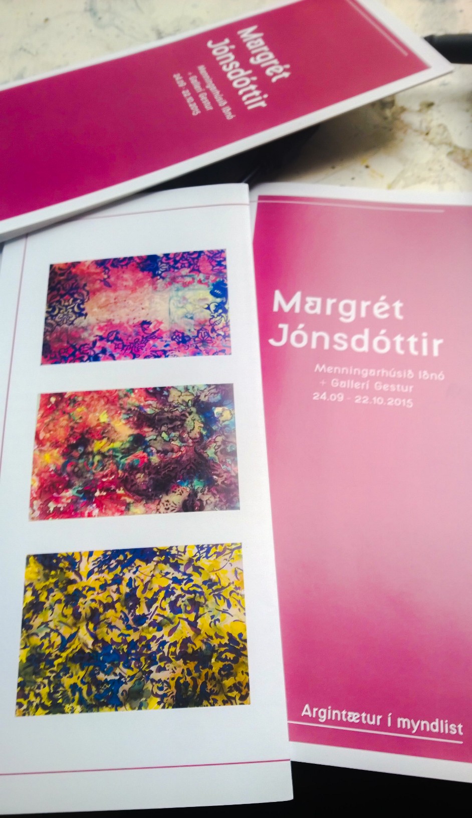
- AdobePhotoshopExpress 6d000acf7433445aa8ce36b2145dc61d, Margret jonsdottir, CC BY-SA 4.0
- Stakksfjörður 5, ArniGael, CC BY-SA 4.0
- Stakksfjörður 4, ArniGael, CC BY-SA 4.0
- Stakksfjörður 3, ArniGael, CC BY-SA 4.0
- Stakksfjörður 2, ArniGael, CC BY-SA 4.0
- Stakksfjörður 1, ArniGael, CC BY-SA 4.0
- Reykjanesbraut and eruption, Steinninn, CC BY 4.0
- Dual carriageway highway41 iceland, CS, Public domain
- Þráinsskjöldur 729, Steinninn, CC BY 4.0
- Reykjanesbraut 730, Steinninn, CC BY 4.0
- Arnarseturshraun 725, Steinninn, CC BY 4.0
- Arnarseturshraun 724, Steinninn, CC BY 4.0


Page built November 2, 2026. Spotted a mistake? Tell us or suggest a place.