


Furano, Japan
富良野市
Furano is a town of 21,131 people in Hokkaido, Japan, founded in May 1, 1966.
Why visit Furano
Townapedia lists 15 museums and landmarks, 30 parks and trails, 64 places to eat, 40 places to stay and 24 attractions in and around town.
Highlights include Furano Ski Resort, Furano ski resort, Furano Wine Factory and 麓郷の森.
Weather in Furano
Forecast from MET Norway (CC BY 4.0). Full forecast
About Furano
Furano (富良野市, Furano-shi) is a city in the prefecture of Hokkaido, Japan, located in the southern reaches of Kamikawa Subprefecture, under whose jurisdiction it resides. Well known throughout Japan as a tourist destination, it is famous for its lavender fields, the television drama Kita no Kuni kara, and the Furano Ski Resort, which hosted the Snowboarding World Cup in recent years. As of September 2016, the city has an estimated population of 22,715 and a density of 38 persons per km2 (98 persons per sq. mi.). The total area is 600.97 km2 (232.04 sq mi).
From the Wikipedia article Furano, Hokkaido (this version), under CC BY-SA 4.0.
Travel tips from other travellers: Furano on Wikivoyage (CC BY-SA 4.0).
Things to do24




12 more on the map.
Museums and landmarks15


3 more on the map.
Parks, trails and playgrounds30






18 more on the map.
Restaurants and cafes64

Genghis Khan Shirakaba
Restaurant · Regional, Japanese · 1.8 km
May-Oct Mo-Su 11:00-14:00 "材料がなくなり次第終了"



Shinatora
Restaurant · 1.0 km
Th 11:00-15:00; Tu-We, Fr-Su 11:00-20:30
52 more on the map.
History
The city takes its name from the Ainu word "Fura-nui," which means "Stinky Flame" or "Foul-Smelling Place," in the language of the indigenous people of Hokkaido. This is most likely because the valley was associated with sulfuric fumaroles near Tokachi Peak. In 1897, the first homesteaders arrived from Mie Prefecture and settled in what is now the Ogiyama area of the city. The Village of Furano was established as a satellite settlement of the then-preeminent Utashinai Village. In 1899, the settlement was transferred from under the jurisdiction of Sorachi County to Kamikawa County, an official town hall was raised, and Furano Village, Sorachi County was officially established.
From the History section of Furano, Hokkaido on Wikipedia, under CC BY-SA 4.0.
Where to stay40
Churches and places of worship10
Shopping16
Gas and EV charging9
Schools, colleges and libraries26
Healthcare11
Map of Furano
245 places. The map loads OpenStreetMap tiles when you open it.
Getting there and nearby towns
Asahikawa Airport (AKJ) is the nearest airport with scheduled flights listed in OpenStreetMap, 36 km away.
- Kami-furano 14 km northeast, about 14 min by car
- Asahikawa 47 km north, about 47 min by car
- Iwamizawa 53 km west, about 53 min by car
- Kuriyama 59 km southwest, about 59 min by car
- Naganuma 68 km southwest, about 1 h 15 min by car
- Ebetsu 73 km west, about 1 h 15 min by car
- Tōbetsu 72 km west, about 1 h 15 min by car
- Memuro-minami 72 km southeast, about 1 h 15 min by car
- Obihiro 82 km southeast, about 1 h 15 min by car
- Sapporo 89 km west, about 1 h 30 min by car
Drive times are estimates from straight-line distance, not routes.
Local news
Headlines from INDB.
Reviews, tips and questions
Loading what members have shared...
Sources and licences
- GeoNames (CC BY 4.0): population, coordinates, regions and time zone
- OpenStreetMap contributors (ODbL 1.0): places, airports, map data
- Wikidata (CC0 1.0): elevation, founding date, time zone, website, landmarks and historic places
- Wikimedia Commons (see each image): photos
- Wikipedia (CC BY-SA 4.0): overview and history text
Photo credits
- Furano Town - panoramio, pakku, CC BY 3.0
- JR Furano St./富良野駅 - panoramio, T DMY, CC BY 3.0
- Mount Maefurano from Furano station - panoramio, T DMY, CC BY 3.0
- Furano 20170101070907 (32204010545), inunami, CC BY 2.0
- JRH Furano Station 19910301, Yasu, CC BY-SA 3.0
- JRH Furano Station 20100908, 掬茶, CC BY-SA 3.0
- Furano station - 2022 Aug 12 440pm various 16 47 58 638000, Nesnad, CC BY 4.0
- Furano station - 2022 Aug 12 440pm various, Nesnad, CC BY 4.0
- Furano station misc 2022 Aug 12 various, Nesnad, CC BY 4.0
- Furano 20170101071130 (31362698124), inunami, CC BY 2.0
- 富良野神社(Furano Shinto ) - panoramio, pakku, CC BY 3.0
- Furano Station - 2022 Aug 12 various 15 13 41 821000, Nesnad, CC BY 4.0
- Furano Station - 2022 Aug 12 various 15 13 48 206000, Nesnad, CC BY 4.0
- Furano Station - 2022 Aug 12 various 15 13 57 126000, Nesnad, CC BY 4.0
- Furano Station - 2022 Aug 12 various 15 14 36 502000, Nesnad, CC BY 4.0
- Furano Station - 2022 Aug 12 various 15 14 25 943000, Nesnad, CC BY 4.0
- Furano Station - 2022 Aug 12 various 15 14 16 255000, Nesnad, CC BY 4.0
- Furano station misc 2022 Aug 12 various 17 02 12 556000, Nesnad, CC BY 4.0
- Furano Station, Alberth2, CC BY 3.0
- Furano Tourism Association, Alberth2, CC BY 3.0
- Furano Station - 2022 Aug 12 various 15 14 46 464000, Nesnad, CC BY 4.0
- Furano 20161231202311 (31362696204), inunami, CC BY 2.0
- Furano Station - 2022 Aug 12 various 15 15 06 595000, Nesnad, CC BY 4.0
- Furano station - 2022 Aug 12 440pm various 16 48 06 485000, Nesnad, CC BY 4.0
- Furano Station - 2022 Aug 12 various 15 14 54 976000, Nesnad, CC BY 4.0
- Furano and Biei - Furano752, lumoplank, CC0
- Furano City Hall 20250726, 掬茶, CC BY-SA 4.0
- Yayoicho, Furano, Hokkaido Prefecture 076-0018, Japan - panoramio, 松岡博文, CC BY 3.0
- Furano Snow Resort view2, wakimasa, Public domain
- Furano Hospital, Ozizo, Public domain
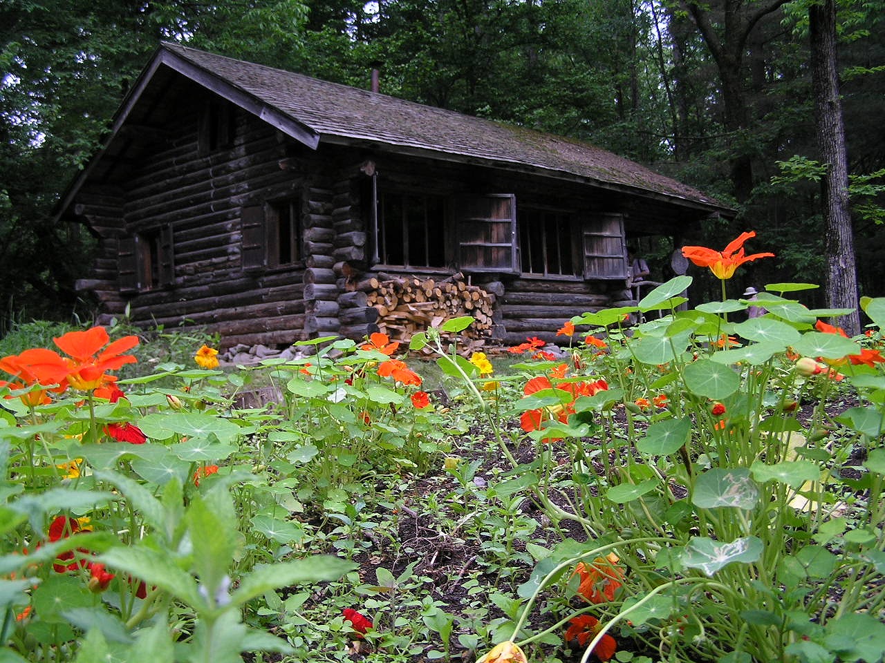
- 麓郷の森 黒板五郎の丸太小屋 Akiyoshi's RoomP6220389, Akiyoshi's Room, CC BY-SA 3.0
- Furano-YH, As6022014, Public domain
- フラノマルシェ外観, 西本伸顕, CC BY-SA 4.0
- Mt. Furanonishidake, 保姆虫と登山, CC BY-SA 4.0
- Furano Snow Resort view1, wakimasa, Public domain
- 麓郷の森 入り口木の看板P6220385, Akiyoshi's Room, CC BY-SA 3.0
- Kamifurano Municipal Hospital, イトユラ, CC BY-SA 4.0
- Arrow (8406861965), Eric, CC BY 2.0
- 冷たい水 アルカリ イオン水 (6015758592), Tzuhsun Hsu, CC BY-SA 2.0
- Sキップ往復 (6017702065), Tzuhsun Hsu, CC BY-SA 2.0
- ファーム富田 (Farm Tomita) @ 富良野 (Furano) - panoramio, Benford Choi, CC BY-SA 3.0
- Torinuma park - panoramio, Katsumasa Miyazaki, CC BY-SA 3.0
- Hinode park, Tzuhsun Hsu, CC BY-SA 2.0


Page built November 5, 2026. Spotted a mistake? Tell us or suggest a place.