




Why visit Kuriyama
Townapedia lists 5 museums and landmarks, 72 parks and trails, 49 places to eat, 22 places to stay and 8 attractions in and around town.
Highlights include Kyu Sakamoto Memorial Hall and Naganuma community park.
Weather in Kuriyama
Forecast from MET Norway (CC BY 4.0). Full forecast
About Kuriyama
Kuriyama (栗山町, Kuriyama-chō) is a town located in Sorachi Subprefecture, Hokkaido, Japan.
From the Wikipedia article Kuriyama, Hokkaido (this version), under CC BY-SA 4.0.
Things to do8





Museums and landmarks5

Kyu Sakamoto Memorial Hall
Museum · 6.7 km
Museum in Kuriyama, Hokkaido, Japan

Parks, trails and playgrounds72

60 more on the map.
Restaurants and cafes49


ファームレストラン ハーベスト
Restaurant · 3.8 km
Mar-Nov Mo-We,Fr 11:00-17:00; Mar-Nov Sa,Su 11:00-20:00; Dec-Feb...
Earth
Restaurant · Curry · 1.0 km
Mo-Fr 11:00-15:00, 17:00-21:00; Sa-Su 11:00-21:00

37 more on the map.
Where to stay22
Churches and places of worship52
Shopping11
Gas and EV charging8
Schools, colleges and libraries21
Healthcare8
Map of Kuriyama
250 places. The map loads OpenStreetMap tiles when you open it.
Getting there and nearby towns
New Chitose Airport (CTS) is the nearest airport with scheduled flights listed in OpenStreetMap, 31 km away.
- Yuni 5 km south, about 5 min by car
- Naganuma 9 km southwest, about 9 min by car
- Horomui 11 km west, about 11 min by car
- Iwamizawa 16 km north, about 16 min by car
- Ebetsu 20 km west, about 20 min by car
- Tōbetsu 28 km northwest, about 28 min by car
- Sapporo 35 km west, about 35 min by car
- Shiraoi 66 km southwest, about 1 h by car
- Noboribetsu 83 km southwest, about 1 h 30 min by car
- Yoichi 84 km west, about 1 h 30 min by car
Drive times are estimates from straight-line distance, not routes.
Local news
Headlines from INDB.
Reviews, tips and questions
Loading what members have shared...
Sources and licences
- GeoNames (CC BY 4.0): population, coordinates, regions and time zone
- OpenStreetMap contributors (ODbL 1.0): places, airports, map data
- Wikidata (CC0 1.0): elevation, founding date, time zone, website, landmarks and historic places
- Wikimedia Commons (see each image): photos
- Wikipedia (CC BY-SA 4.0): overview and history text
Photo credits
- Kuriyama Town Hall, Ozizo, Public domain
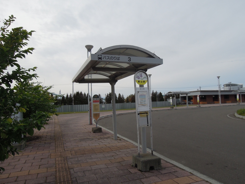
- JR Kuriyama Station Bus Stop 3, Sinryow, CC BY-SA 3.0
- Hokkaido Kuriyama Station 20250207, サボテンのはり, CC BY 4.0
- Park of Kuriyama/栗山公園・紅葉 - panoramio, T DMY, CC BY 3.0
- Gallery Maruta (Kobayashi-ke, Kuriyama) 01, User:逃亡者 ( ja:利用者:逃亡者 ), Public domain
- Bodai-ji of Nanporo, 禁樹なずな, CC BY-SA 4.0
- Naganuma Shrine of Hokkaido - 1st Torii, 禁樹なずな, CC BY-SA 4.0
- Kuriyama Town Library ac (1), Asturio Cantabrio, CC BY-SA 4.0
- Hokkaido Nanporo High School, 禁樹なずな, CC BY-SA 4.0
- 栗山町図書館外観, 満月のライオン, CC BY-SA 4.0
- Hokkaido Naganuma High School, Psjk2106, CC BY-SA 4.0
- 栗山町鳩山 - panoramio, Yobito KAYANUMA, CC BY-SA 3.0
- ISS053-E-177174 - View of Earth, Earth Science and Remote Sensing Unit , Lyndon B. Johnson Space Center, Public domain
- ISS053-E-179650 - View of Earth, Earth Science and Remote Sensing Unit , Lyndon B. Johnson Space Center, Public domain
- House Covered in Ice Yuni Hokkaido, Sgroey, CC BY-SA 4.0
- 道道30号岩見沢市 - panoramio, Yobito KAYANUMA, CC BY-SA 3.0
- 二战期间日本北海道强制中国劳工之墓 北海道 栗山町 - panoramio, ruiraykwok, CC BY-SA 3.0
- ゆにガーデン 教会(Yuni Garden), t-konno, CC BY-SA 3.0
- ゆにガーデン(Yuni Garden) - panoramio (3), t-konno, CC BY-SA 3.0
- ゆにガーデン(Yuni Garden) - panoramio (2), t-konno, CC BY-SA 3.0
- ゆにガーデン(Yuni Garden), t-konno, CC BY-SA 3.0
- ISS019-E-12445 - View of Earth, Earth Science and Remote Sensing Unit , Lyndon B. Johnson Space Center, Public domain
- ゆにガーデン(Yuni Garden) - panoramio, t-konno, CC BY-SA 3.0
- Nagnumabuntai 1987 1, 吏卒画像, CC BY-SA 3.0
- ゆにガーデン(Yuni Garden) - panoramio (4), t-konno, CC BY-SA 3.0
- Rose, Tsuyoshi Yoshida, CC BY-SA 3.0
- ゆにガーデン(Yuni Garden) - panoramio (1), t-konno, CC BY-SA 3.0
- Naganuma naiki j 1987 1, 吏卒画像, CC BY-SA 3.0
- Nagnumabuntai 1987 2, 吏卒画像, CC BY-SA 3.0
- 道道30号線 - panoramio, Yobito KAYANUMA, CC BY-SA 3.0
- ISS023-E-20761 - View of Earth, Earth Science and Remote Sensing Unit , Lyndon B. Johnson Space Center, Public domain
- ISS022-E-75751 - View of Earth, Earth Science and Remote Sensing Unit , Lyndon B. Johnson Space Center, Public domain
- ISS053-E-177173 - View of Earth, Earth Science and Remote Sensing Unit , Lyndon B. Johnson Space Center, Public domain
- ISS053-E-179649 - View of Earth, Earth Science and Remote Sensing Unit , Lyndon B. Johnson Space Center, Public domain
- ISS041-E-45316 - View of Earth, Earth Science and Remote Sensing Unit , Lyndon B. Johnson Space Center, Public domain
- マオイワイナリー(maoi winery) - panoramio, t-konno, CC BY-SA 3.0


Page built November 5, 2026. Spotted a mistake? Tell us or suggest a place.