


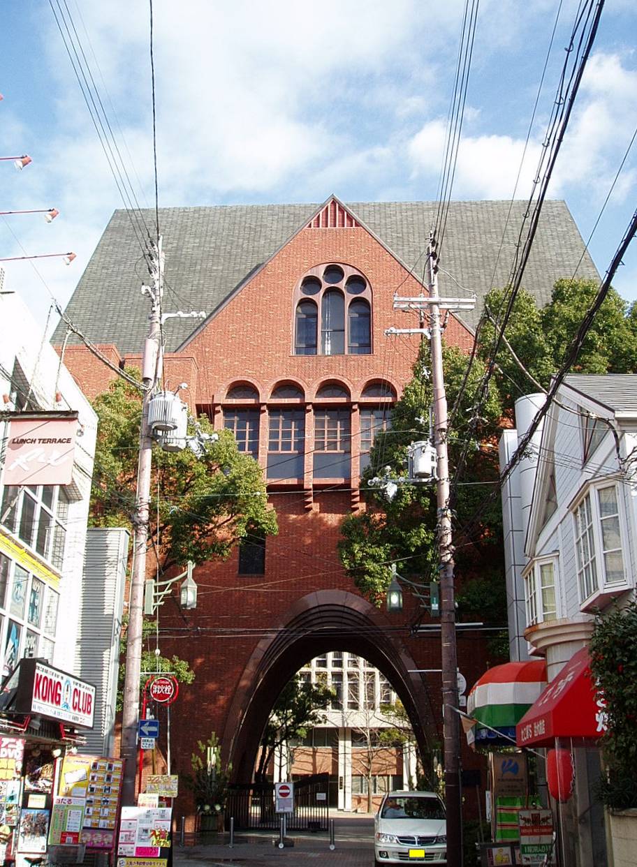


Higashihiroshima, Japan
東広島市
Higashihiroshima is a town of 196,608 people in Hiroshima, Japan, founded in April 20, 1974.
Why visit Higashihiroshima
Townapedia lists 31 museums and landmarks, 72 parks and trails, 151 places to eat, 16 places to stay and 29 attractions in and around town.
Highlights include Hiroshima International University, Hiroshima Kokusai Gakuin University, 東広島市立美術館 and Mitsujo Tumulus.
Weather in Higashihiroshima
Forecast from MET Norway (CC BY 4.0). Full forecast
About Higashihiroshima
Higashihiroshima (東広島市, Higashihiroshima-shi) is a city located in Hiroshima Prefecture, Japan. As of 30 April 2023, the city had an estimated population of 190,186 in 90,294 households and a population density of 300 persons per km2. The total area of the city is 635.16 square kilometres (245.24 sq mi).
From the Wikipedia article Higashihiroshima (this version), under CC BY-SA 4.0.
Travel tips from other travellers: Higashihiroshima on Wikivoyage (CC BY-SA 4.0).
Things to do29

Hiroshima International University
School · 11.5 km
Private university in East Hiroshima, Japan

Hiroshima Kokusai Gakuin University
School · 14.4 km
Higher education institution in Hiroshima Prefecture, Japan

Kure University
School · 16.2 km
Higher education institution in Hiroshima Prefecture, Japan




17 more on the map.
Museums and landmarks31




19 more on the map.
Parks, trails and playgrounds72

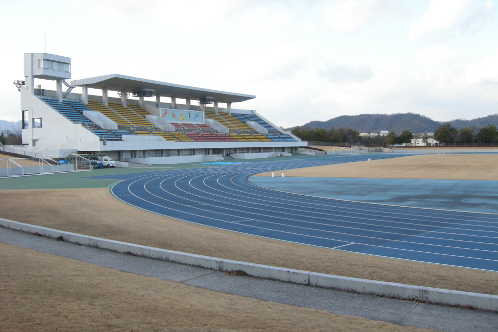



60 more on the map.
Restaurants and cafes151


いな穂
Restaurant · Ramen · 8.9 km
Fr-Su 11:30-13:00; Tu-We 11:30-13:00
お好み焼 けんちゃん
Restaurant · Okonomiyaki · 4.4 km
Mo,Th 11:00-14:00; Fr-Su 11:00-14:00,17:00-20:00
お好み焼き 小春
Restaurant · Okonomiyaki · 4.3 km
Mo-Sa 10:00-14:00,17:00-19:00
手打ちそば 出雲屋
Restaurant · Noodle, Soba · 3.3 km
Mo-Su 11:00-15:00,17:00-21:00
139 more on the map.
History
The area of Higashihiroshima is mostly part of ancient Aki Province. Archaeologists have found evidence of continuous human settlement from the Japanese Paleolithic period, with the oldest remains of several dwellings dating back to 22,000 years ago. Traces from the Yayoi period through the Kofun period are numerous, including the Mitsushiro Kofun, a National Historic Site. During the Nara period, the ancient Sanyōdō highway connecting the Kinai region with Kyushu passed close to the north side of Saijō Station. Aki Kokubun-ji was located in what is now Higashihiroshima, and through geographic names, the original kokufu of the province was located in the vicinity before it was relocated to Fuchū in the Heian period. During the Muromachi period, the area was dominated by the Ouchi clan, who built Kagamiyama Castle, the ruins of which are a National Historic Site. The Ouchi were replaced after 200 years by the Mōri clan in the Sengoku period. After the establishment of the Tokugawa Shogunate, the area was part of the holdings of Fukushima Masanori and later the Asano clan of Hiroshima Domain.
From the History section of Higashihiroshima on Wikipedia, under CC BY-SA 4.0.
Where to stay16
Churches and places of worship120
Shopping40
Gas and EV charging8
Schools, colleges and libraries57
Higashihiroshima Shiritsu Matsuga Junior High School
School · 1.8 km
Healthcare34
Map of Higashihiroshima
250 places. The map loads OpenStreetMap tiles when you open it.
Getting there and nearby towns
Hiroshima Airport (HIJ) is the nearest airport with scheduled flights listed in OpenStreetMap, 17 km away.
- Kumano 18 km southwest, about 18 min by car
- Takehara 18 km southeast, about 18 min by car
- Kaitaichi 19 km west, about 19 min by car
- Hiroshima 26 km west, about 26 min by car
- Kure 25 km southwest, about 25 min by car
- Hatsukaichi 38 km west, about 38 min by car
- Imabari 45 km southeast, about 45 min by car
- Fukuyama 58 km east, about 58 min by car
- Matsuyama 63 km south, about 1 h by car
- Niihama 72 km southeast, about 1 h 15 min by car
Drive times are estimates from straight-line distance, not routes.
Local news
Headlines from INDB.
Reviews, tips and questions
Loading what members have shared...
Sources and licences
- GeoNames (CC BY 4.0): population, coordinates, regions and time zone
- OpenStreetMap contributors (ODbL 1.0): places, airports, map data
- Wikidata (CC0 1.0): elevation, founding date, time zone, website, landmarks and historic places
- Wikimedia Commons (see each image): photos
- Wikipedia (CC BY-SA 4.0): overview and history text
Photo credits
- 高屋高美が丘5丁目 Takaya-Takamigaoka 5-chome, Higashi-Hiroshima-shi - panoramio, OS6, CC BY-SA 3.0
- Hiroshima Kokusai Gakuin University Nakano Campus 01, Taisyo, CC BY 3.0
- Faculty of Science, Hiroshima University - Feb 1, 2005, hu album, CC BY 2.0
- Kinki-Univ-MainCampus-WestGate01, Hasec, Public domain
- Namitakiji temple Higashihiroshima, Digitallife1995, CC BY-SA 3.0
- Azumakonotaki Higashihiroshima, Digitallife1995, CC0
- Kawakami-sho Higashihiroshima, Digitallife1995, CC0
- 市立郷田小学校 (Elementary school) - panoramio, OS6, CC BY-SA 3.0
- Higashihiroshima Stadium, OS6, CC BY-SA 3.0
- Hiroshima National Hospital 2, Waka77, CC0
- 賀茂精神医療センター Psychiatric Center - panoramio, OS6, CC BY-SA 3.0
- Higashihiroshima City Museum of Art 2024, Two-sands, CC0
- Aki Kokubunji, hondou, Saigen Jiro, CC0
- Saijo central hospital, Lumi iori, CC BY-SA 4.0
- 御建神社 Mitate Shrine - panoramio, OS6, CC BY-SA 3.0
- Hiroshima International University, OS6, CC BY-SA 3.0
- Hiroshima University Higashi Hiroshima Campus 01, Taisyo, CC BY 3.0
- フジグラン東広島, Inaji, CC BY 3.0
- Mitsujo Kofun, enkei, Saigen Jiro, CC0
- Misonou-sho Higashihiroshima, Digitallife1995, CC0
- 瀬野川公園 Senogawa park - panoramio, OS6, CC BY-SA 3.0
- 県立西条農業高等学校 Agricultural high school - panoramio, OS6, CC BY-SA 3.0
- 市立松賀中学校 (Junior high school) - panoramio, OS6, CC BY-SA 3.0
- 東広島市西条中央 Saijyo-chuou Higashihirosima city - panoramio, OS6, CC BY-SA 3.0
- 国道2号線 Route 2 - panoramio, OS6, CC BY-SA 3.0
- 鏡山公園 Kagamiyama park - panoramio, OS6, CC BY-SA 3.0
- 三ツ城古墳 Mitsujo Tumulus - panoramio, OS6, CC BY-SA 3.0
- 鏡山城跡 Historic site Kagamiyama castle - panoramio, OS6, CC BY-SA 3.0
- National Research Institute of Brewing, 妖精書士, CC BY-SA 3.0
- フジグラン東広島 (Shopping Center) - panoramio, OS6, CC BY-SA 3.0
- 吾妻子の滝 Adumako Waterfall - panoramio, OS6, CC BY-SA 3.0
- 西条御条町 Saijyo-Gojyo machi - panoramio, OS6, CC BY-SA 3.0
- Sake fields - panoramio, Max Nossin, CC BY 3.0
- Sake field - panoramio, Max Nossin, CC BY 3.0
- デオデオ東広島店 Deodeo - panoramio, OS6, CC BY-SA 3.0
- 西条昭和町 Saijyo-Showa machi - panoramio, OS6, CC BY-SA 3.0
- 一本木池(左)、中池(右) Pond - panoramio, OS6, CC BY-SA 3.0
- 鍋屋池 Nabeya pond - panoramio, OS6, CC BY-SA 3.0
- 西条昭和町02 Saijyo-Showa machi - panoramio, OS6, CC BY-SA 3.0
- 県立障害者リハビリテーションセンター - panoramio, OS6, CC BY-SA 3.0


Page built November 4, 2026. Spotted a mistake? Tell us or suggest a place.