


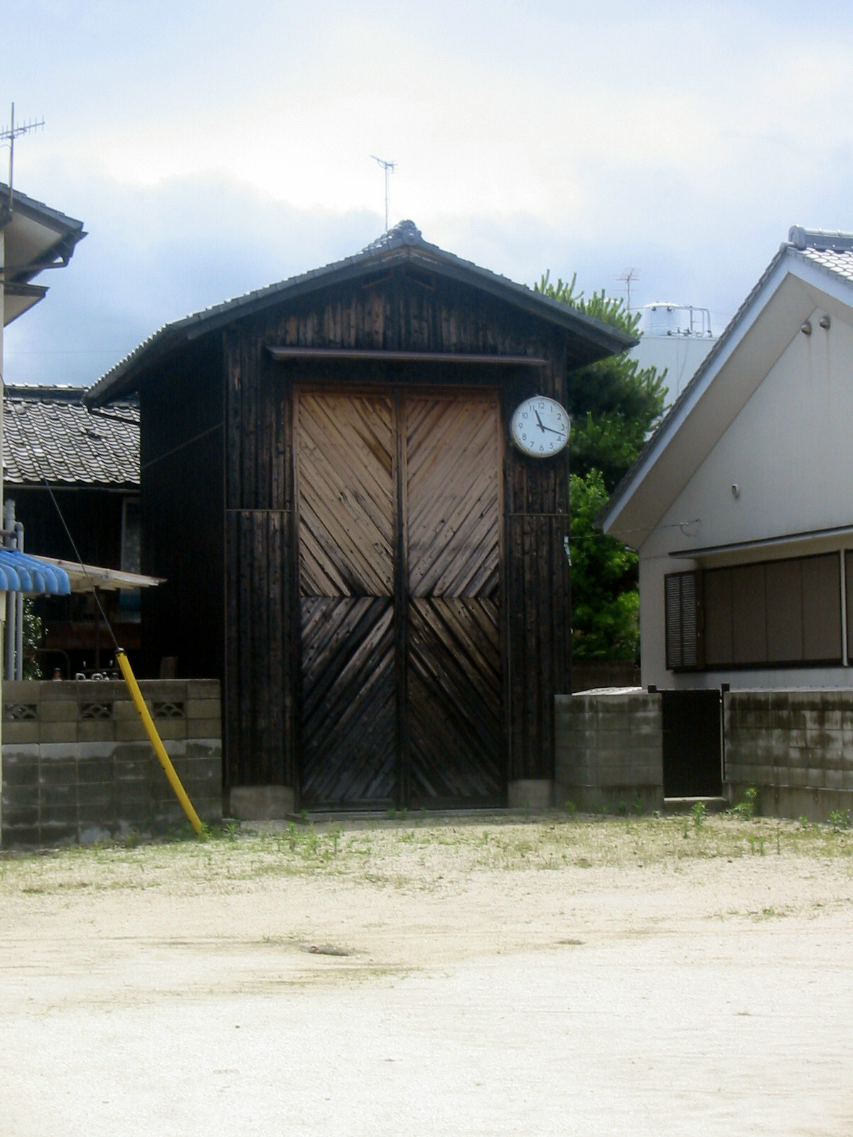

Hōjō, Japan
北条市
Hōjō is a town of 27,992 people in Ehime, Japan, founded in November 28, 1898.
Why visit Hōjō
Townapedia lists 4 museums and landmarks, 5 parks and trails, 7 places to eat, 3 places to stay and 2 attractions in and around town.
Weather in Hōjō
Forecast from MET Norway (CC BY 4.0). Full forecast
About Hōjō
Hōjō (北条市, Hōjō-shi) was a city located in Ehime Prefecture, Japan. The city was founded on November 1, 1958.
From the Wikipedia article Hōjō, Ehime (this version), under CC BY-SA 4.0.
Things to do2

Museums and landmarks4


Parks, trails and playgrounds5



Restaurants and cafes7


Where to stay3
Churches and places of worship2
Shopping2
Gas and EV charging1
Schools, colleges and libraries8
Healthcare1
Map of Hōjō
35 places. The map loads OpenStreetMap tiles when you open it.
Getting there and nearby towns
Matsuyama Airport (MYJ) is the nearest airport with scheduled flights listed in OpenStreetMap, 18 km away.
- Matsuyama 15 km south, about 15 min by car
- Imabari 23 km northeast, about 23 min by car
- Masaki-chō 22 km south, about 22 min by car
- Haramachi 23 km south, about 23 min by car
- Iyo 26 km south, about 26 min by car
- Kure 34 km northwest, about 34 min by car
- Higashihiroshima 48 km north, about 48 min by car
- Niihama 49 km east, about 49 min by car
- Iwakuni 55 km west, about 55 min by car
- Hiroshima 56 km northwest, about 56 min by car
Drive times are estimates from straight-line distance, not routes.
Local news
Headlines from INDB.
Reviews, tips and questions
Loading what members have shared...
Sources and licences
- GeoNames (CC BY 4.0): population, coordinates, regions and time zone
- OpenStreetMap contributors (ODbL 1.0): places, airports, map data
- Wikidata (CC0 1.0): elevation, founding date, time zone, website
- Wikimedia Commons (see each image): photos
- Wikipedia (CC BY-SA 4.0): overview and history text
Photo credits
- Tsuedaishi 01, Reggaeman, CC BY-SA 3.0
- St. Catherine Univ, Bakkai, CC BY-SA 3.0
- Hojo - panoramio (1), DVMG, CC BY 3.0
- Jr iyo-hojo station - panoramio - DVMG (1), DVMG, CC BY 3.0
- Macarthur invader center - panoramio, DVMG, CC BY 3.0
- Labor hangar - panoramio, DVMG, CC BY 3.0
- Hojo - panoramio (3), DVMG, CC BY 3.0
- Hojo - panoramio, DVMG, CC BY 3.0
- Jr iyo-hojo station - panoramio, DVMG, CC BY 3.0
- Jr iyo-hojo station - panoramio - DVMG, DVMG, CC BY 3.0
- 松山市シーパーの湯, キアラア, CC0
- Marunaka, Hojo - panoramio, DVMG, CC BY 3.0
- 松山市の鹿島神社鳥居, キアラア, CC0
- Mt.Takanawasan, As6022014, CC BY-SA 3.0
- Hojo port ^ kashima - panoramio, DVMG, CC BY 3.0
- The rock called "Ishi-mon" which means rock gate, Kashima Island, Hojo district, Matsuyama City, Ehime Prefecture, Japan - panoramio, photopond jp, CC BY 3.0
- Shimonanba - panoramio, DVMG, CC BY 3.0
- 土佐礼子記念碑, キアラア, CC0
- R196-2020-179, Puchi-masashi, CC BY-SA 4.0
- 長浜海水浴場 - panoramio, 米田賢一, CC BY 3.0
- 長浜海水浴場 - panoramio - 米田賢一, 米田賢一, CC BY 3.0
- 奥道後ゴルフクラブ, キアラア, CC0
- Yanagihara - panoramio, DVMG, CC BY 3.0


Page built November 4, 2026. Spotted a mistake? Tell us or suggest a place.