


Kakamigahara, Japan
各務原市
Kakamigahara is a town of 144,521 people in Gifu, Japan, founded in April 1, 1963.
Why visit Kakamigahara
Townapedia lists 75 museums and landmarks, 103 parks and trails, 161 places to eat, 4 places to stay and 23 attractions in and around town.
Highlights include Chubu Gakuin University, Aigi Bridge, Inuyama Castle and Gifu-Kakamigahara air and space museum.
Weather in Kakamigahara
Forecast from MET Norway (CC BY 4.0). Full forecast
About Kakamigahara
Kakamigahara (各務原市, Kakamigahara-shi) is a city located in southern Gifu Prefecture in Japan. As of 1 January 2019, the city had an estimated population of 148,225, and a population density of 1700 persons per km2, in 59,736 households. The total area of the city was 87.81 km2 (33.90 sq mi).
From the Wikipedia article Kakamigahara (this version), under CC BY-SA 4.0.
Things to do23

Chubu Gakuin University
School · 5.5 km
Private university in Seki, Japan

Aigi Bridge
Bridge · 4.6 km
Bridge in Gifu - Aichi Prefectural border

Aquatotto Gifu
Monument and historic site · 7.1 km
Zoo in Gifu, Japan
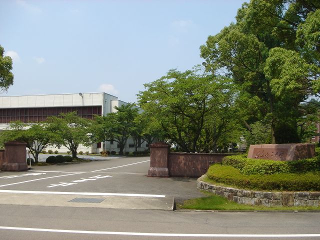
Gifu Women's University
School · 10.7 km
Private university in Gifu Prefecture, Japan




11 more on the map.
Museums and landmarks75


Gifu-Kakamigahara air and space museum
Museum · 3.2 km


Cormorant Fishing House
Museum · 8.6 km
Cormorant fishing museum in Gifu Prefecture, Japan
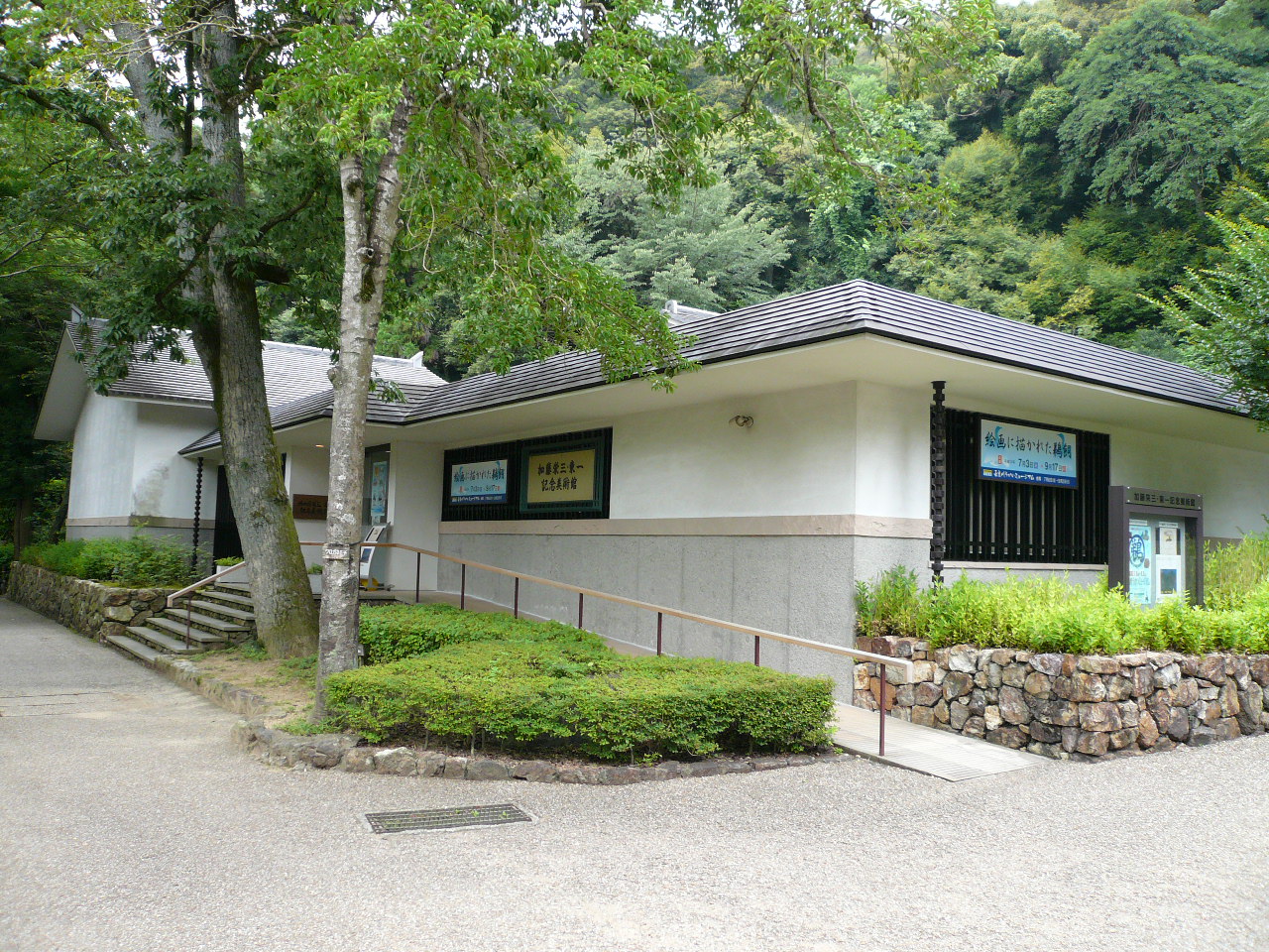
Eizō & Tōichi Katō Memorial Art Museum
Museum · 8.5 km
Museum in Gifu, Japan


Gifu City Museum of History
Museum · 8.7 km
Museum in Gifu, Gifu, Japan

Imasen Inuyama Karakuri Museum Tamaya Shobei Workshop
Museum · 7.4 km
09:00-16:30

Kotozuka Kofun
Monument and historic site · 4.7 km
Archaeological site

Mirokuji kanga ruins
Monument and historic site · 10.2 km
Archaeological site in Japan

Oibora-Asakura Sue Ware Kiln Site
Monument and historic site · 3.6 km
Archaeological site in Japan

63 more on the map.
Parks, trails and playgrounds103








91 more on the map.
Restaurants and cafes161

うな神
Restaurant · 鰻 · 7.1 km
国道21号線 (Route 21), 岐阜県各務原市
Mo-Fr 11:00-14:30,16:30-21:00

149 more on the map.
History
The area around Kakamigahara was part of traditional Mino Province. During the post-Meiji restoration cadastral reforms, the area was organised into the Inaba District, Gifu, in April 1897.
1 April 1963: Kakamigahara City was founded by amalgamating Naka, Sohara, Unuma, and Inaba.
1968: The Line Bridge was completed. Together with the Inuyama bridge, completed in 1925, these two bridges span the Kiso River and connect Kakamigahara City with Aichi Prefecture.
1969: The Aigi bridge was completed. This was the third bridge to span the Kiso, and connects the city to Aichi Prefecture. It was the first bridge to connect Kakamigahara to Konan City.
5 March 1986: The section of the Tokai-Hokuriku Expressway between Kakamigahara Junction and Mino Junction was opened. Furthermore, on 13 December 1998, the Tokai-Hokuriku Expressway was connected to the Meishin Expressway (Ichinomiya Junction).
28 March 2000: The twinning of the Inuyama Bridge was completed. Previously, Meitetsu trains had shared the bridge with automobiles, crossing the bridge in a manner similar to streetcars. After the twinning, the trains began to use the old Inuyama Bridge. This separation of trains and automobiles improved transportation across the river.
1 November 2004: Kawashima-cho (Hashima District), was incorporated into Kakamigahara City.
5 November 2006: The Shin-mei Ko-ami Bridge, connecting to Konan, is completed.
From the History section of Kakamigahara on Wikipedia, under CC BY-SA 4.0.
Where to stay4
Churches and places of worship42
Shopping32
Gas and EV charging16
Schools, colleges and libraries88
Healthcare23
Map of Kakamigahara
250 places. The map loads OpenStreetMap tiles when you open it.
Getting there and nearby towns
Gifu Airbase (QGU) is the nearest airport with scheduled flights listed in OpenStreetMap, 3 km away.
- Ichinomiya 14 km southwest, about 14 min by car
- Komaki 16 km south, about 16 min by car
- Inazawa 20 km south, about 20 min by car
- Ōgaki 24 km west, about 24 min by car
- Nagoya 26 km south, about 26 min by car
- Seto 29 km southeast, about 29 min by car
- Toyota 45 km southeast, about 45 min by car
- Kariya 49 km south, about 49 min by car
- Anjō 55 km south, about 55 min by car
- Okazaki 59 km southeast, about 59 min by car
Drive times are estimates from straight-line distance, not routes.
Local news
Headlines from INDB.
Reviews, tips and questions
Loading what members have shared...
Sources and licences
- GeoNames (CC BY 4.0): population, coordinates, regions and time zone
- OpenStreetMap contributors (ODbL 1.0): places, airports, map data
- Wikidata (CC0 1.0): elevation, founding date, time zone, website, landmarks and historic places
- Wikimedia Commons (see each image): photos
- Wikipedia (CC BY-SA 4.0): overview and history text
Photo credits
- Kakamigahara City Citizen Hall 20160831, 円周率3パーセント, CC BY-SA 4.0
- MikakinoStn KakamigaharaCity 20251220, Olegushka, CC BY-SA 4.0
- MikakinoEki KakamigaharaCity 20250111, Olegushka, CC0
- Chubugakuin University Seki2007-1, Monami, CC BY-SA 3.0
- Aigioohashi bridge-1, onaonan, CC BY-SA 3.0
- アクア・トトぎふ 外観, 世界淡水魚園水族館, CC BY-SA 4.0
- Gifu Womans Univ2, Monami at ja.wikipedia, CC BY-SA 3.0
- Hagi-no-Taki01, Monami, CC BY-SA 3.0
- 鵜飼資料園, Opqr, CC BY-SA 4.0
- Katoeizotoichi, Douggers at English Wikipedia, CC BY 2.5
- Enku Museum 4, Hide-sp, CC BY-SA 3.0
- Gifushirekishi, Douggers at English Wikipedia, CC BY 2.5
- 弥勒寺官衙遺跡, Opqr, CC BY-SA 4.0
- Asakura Sue Ware Kiln Site, Gifu, 2019, 大野一将, CC BY-SA 4.0
- Gifu Memorial Center Sunsun Deck 1, Hide-sp, CC BY-SA 3.0
- Gifuparktea, Douggers at English Wikipedia, CC BY 2.5
- Tokai Gakuin University2008-1, Monami, CC BY-SA 3.0
- Inuyama Castle (1), Kitakoken Inuyama Inuyama City 2023, Tomio344456, CC BY-SA 4.0
- Obusa-Gokokushiji04, Monami, CC BY-SA 3.0
- 180501 Kakamigahara Aerospace Science Museum, 名古屋太郎, CC BY-SA 4.0
- AEON Kakamigahara Shopping Center 01, Gnsin, CC BY-SA 3.0
- AEON Fuso Shopping Center 03, Gnsin, CC BY-SA 3.0
- Mago main building ac (2), Asturio Cantabrio, CC BY-SA 4.0
- Flowerpark konan, Bariston, CC BY-SA 4.0
- Mount Igi from Mount yagi 2008-06-13, Alpsdake, CC0
- Tokai Central Hospital, TCHPIC, CC BY-SA 3.0
- Kakamigahara City Central Library 2021-10 ac (3), Asturio Cantabrio, CC BY-SA 4.0
- Naka junior high school,gifu 1, O4y4r4n, CC BY-SA 3.0
- Tomita High School Gifu 2008-1, Monami, CC BY-SA 3.0
- Nagamori junior high school,gifu 1, O4y4r4n, CC BY-SA 3.0
- Gifu Hospital2008-2, Monami, CC BY-SA 3.0
- Kakamihara Highschool01, Monami, CC BY-SA 3.0
- Kakamigahara Nishi Senior High School01, Monami, CC BY-SA 3.0
- Gifu-Kakamino High School01, Monami, CC BY-SA 3.0
- Gifu Prefectural General Medical Center01, Monami, CC BY-SA 3.0
- Murakunimasumida jinja haiden, Jerry fish tkc, CC BY-SA 3.0
- Konan Kosei Hospital, Asasa198, CC BY-SA 3.0
- Kawashima-Parking-Area-2, Evelyn-rose, CC0
- Kawamura Hospital2008-1, Monami, CC BY-SA 3.0
- Sawada hospital, Opqr, CC BY-SA 3.0
- Inuyama Shrine 20210501 02, 先従隗始, CC0
- Hasama Fudo2008-1, Monami, CC BY-SA 3.0
- Ganjoji-Gifu04, Monami, CC BY-SA 3.0
- V town akutami, Opqr, CC BY-SA 4.0
- Saihokuzan Daian-ji Temple 04, 先従隗始, CC0
- Jion-ji temple, Gifu, 2017, 大野 一将, CC BY-SA 4.0
- Kiso River Cultural History Museum 20210321 01, 先従隗始, CC0
- KisosansenGovPark kasadahiroba, Carkuni, CC BY-SA 3.0
- College of Nakanippon Aviation2008-1, Monami, CC BY-SA 3.0
- Kakamino shizenisan-no-mori Park, Alpsdake, CC BY-SA 4.0
- 三浦勝治美術館, へぼ飯, CC0
- Bairinpark, Douggers at English Wikipedia, CC BY 2.5


Page built November 4, 2026. Spotted a mistake? Tell us or suggest a place.