


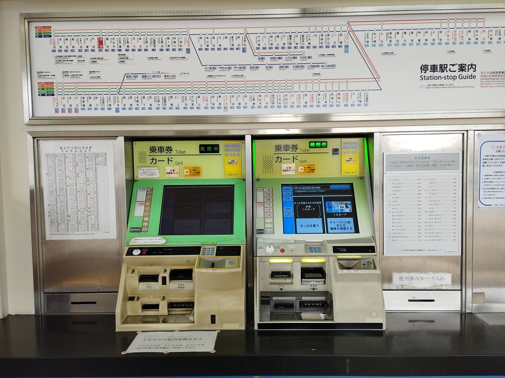

Kanie, Japan
蟹江町
Kanie is a town of 36,489 people in Aichi, Japan, founded in October 1, 1889.
Why visit Kanie
Townapedia lists 10 museums and landmarks, 110 parks and trails, 150 places to eat and 3 attractions in and around town.
Highlights include Doho University, Nagoya College of Music, 蟹江町歴史民俗資料館 and 名古屋市農業文化園.
Weather in Kanie
Forecast from MET Norway (CC BY 4.0). Full forecast
About Kanie
Kanie (蟹江町, Kanie-chō) is a town located in Ama District, Aichi Prefecture, Japan. As of 1 October 2019, the town had an estimated population of 37,082 in 16,647 households, and a population density of 3,344 persons per km2. The total area of the town was 11.09 square kilometres (4.28 sq mi).
From the Wikipedia article Kanie (this version), under CC BY-SA 4.0.
Things to do3



Museums and landmarks10



Parks, trails and playgrounds110

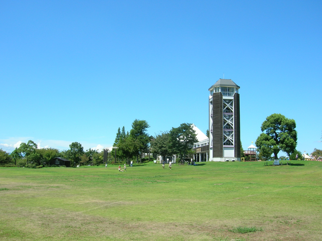


98 more on the map.
Restaurants and cafes150


Kando no Niku to Kome
Restaurant · Steak House · 2.9 km
Mo-Su11:00-22:00
SATO
Restaurant · Japanese · 2.6 km
Mo-Fr 11:00-01:00, Sa,Su 07:00-01:00
Sagami
Restaurant · Japanese · 2.8 km
Mo-Su 00:00-01:00,11:00-24:00

138 more on the map.
History
Kanie was part of ancient Owari Province. During the Sengoku period, it was the site of the Siege of Kanie, where Toyotomi Hideyoshi fought the Oda clan to secure his hold over the province. It was part of the holdings of the Owari Domain under the Edo period Tokugawa shogunate. With the Meiji period establishment of the modern municipalities system on April 1, 1889, the town of Kanie was established. The 1891 Mino–Owari earthquake caused extensive damage to the area. In October 2003, Kanie participated in discussions with regards to a possible merge with neighboring town of Yatomi and village of Jūshiyama. However, negotiations failed in 2004 and Kanie decided to remain as an independent municipality.
From the History section of Kanie on Wikipedia, under CC BY-SA 4.0.
Churches and places of worship72
Shopping21
Gas and EV charging16
Schools, colleges and libraries34
Healthcare19
Map of Kanie
250 places. The map loads OpenStreetMap tiles when you open it.
Getting there and nearby towns
Nagoya Airfield (NKM) is the nearest airport with scheduled flights listed in OpenStreetMap, 18 km away.
- Kiyosu 10 km north, about 10 min by car
- Nagoya 11 km northeast, about 11 min by car
- Inazawa 13 km north, about 13 min by car
- Kuwana 15 km southwest, about 15 min by car
- Iwakura 18 km north, about 18 min by car
- Ichinomiya 19 km north, about 19 min by car
- Ōbu 19 km southeast, about 19 min by car
- Komaki 20 km northeast, about 20 min by car
- Kōnan 23 km north, about 23 min by car
- Kariya 24 km southeast, about 24 min by car
Drive times are estimates from straight-line distance, not routes.
Local news
Headlines from INDB.
Reviews, tips and questions
Loading what members have shared...
Sources and licences
- GeoNames (CC BY 4.0): population, coordinates, regions and time zone
- OpenStreetMap contributors (ODbL 1.0): places, airports, map data
- Wikidata (CC0 1.0): elevation, founding date, time zone, website, landmarks and historic places
- Wikimedia Commons (see each image): photos
- Wikipedia (CC BY-SA 4.0): overview and history text
Photo credits
- Sunarimatsuri1, Bariston, CC BY-SA 4.0
- KT-Kanie-station-name-board, HQA02330, CC BY-SA 4.0
- Kanie 20210305-01, 円周率3パーセント, CC BY-SA 4.0
- KT-Kanie-station-ticket-gate, HQA02330, CC BY-SA 4.0
- KT-Kanie-station-ticket-vending-machine, HQA02330, CC BY-SA 4.0
- Kanie 20210305-02, 円周率3パーセント, CC BY-SA 4.0
- Daido University Do Plaza ac (2), Asturio Cantabrio, CC BY-SA 4.0
- Nagoya College of Music Building C 20151024, 円周率3パーセント, CC BY-SA 4.0
- Jusco City Nanyo 01, Gnsin, CC BY-SA 3.0
- Nagoya 20210314-041, 円周率3パーセント, CC BY-SA 4.0
- Todagawa Ryokuchi-07, KAMUI, CC BY-SA 3.0
- Aichi Prefecture Nanyo High School 20141011, 円周率3パーセント, CC BY-SA 4.0
- Ryusho-in Temple in Kanie ac (1), Asturio Cantabrio, CC BY-SA 4.0
- Kanie History and Folklore Museum exterior ac, Asturio Cantabrio, CC BY-SA 4.0
- Nagoya City Tomida JHS 20150920, 円周率3パーセント, CC BY-SA 4.0
- Sunari Shrine in Kanie ac (1), Asturio Cantabrio, CC BY-SA 4.0
- Josen-ji temple (Kanie) - Gate, 運動会プロテインパワー, CC BY-SA 4.0
- Kanie Town Gakuto Elementary School ac, Asturio Cantabrio, CC BY-SA 4.0
- Mitsui Oil R6Soma SS, Kuha455405, CC BY-SA 3.0
- Nagoya City Tomida High School, 2014, Miyuki Meinaka, CC BY-SA 3.0
- Nagoya Haruda Elementary School, Unknown author, CC BY-SA 3.0
- Todagawa Ryokuchi-03, KAMUI, CC BY-SA 3.0
- Kanie Town Kanie Junior High School ac, Asturio Cantabrio, CC BY-SA 4.0
- Minato 20210610-54, 円周率3パーセント, CC BY-SA 4.0
- Kanie Town Kanie Elementary School ac (1), Asturio Cantabrio, CC BY-SA 4.0
- Nagoya City Hatori Junior High School 20150919-02, 円周率3パーセント, CC BY-SA 4.0
- Aichi Kanie c20260328 1227 新蟹江小学校, 円周率3パーセント, CC BY-SA 4.0
- Todayutaka 20150920, 円周率3パーセント, CC BY-SA 4.0
- Yoshizuya New Year Magic Show (ヨシヅヤ謹賀新年たのしいマジックショー) (4236324927), Yusuke Kawasaki from Tokyo, Japan, CC BY 2.0
- 今日もコメダ珈琲店「モーニングサービス」 (5703591430), Yusuke Kawasaki from Tokyo, Japan, CC BY 2.0
- コメダ珈琲店「モーニングサービス」のトーストとゆで玉子 (5703590252), Yusuke Kawasaki from Tokyo, Japan, CC BY 2.0
- KT-Toda-station-platform, HQA02330, CC BY-SA 4.0
- KT-Toda-station-name-board, HQA02330, CC BY-SA 4.0
- KT-Toda-station-underpass, HQA02330, CC BY-SA 4.0
- Nakagawa 20210524-08, 円周率3パーセント, CC BY-SA 4.0
- Toda No. 1 Railroad Crossing on the Kintetsu Nagoya Line, Nakagawa, Nagoya, Aichi, 要塞騎士, CC0
- Nakagawa 20210524-07, 円周率3パーセント, CC BY-SA 4.0
- Nagoya 20210314-053, 円周率3パーセント, CC BY-SA 4.0
- Nakagawa 20210524-06, 円周率3パーセント, CC BY-SA 4.0
- Nagoya 20210314-049, 円周率3パーセント, CC BY-SA 4.0


Page built November 4, 2026. Spotted a mistake? Tell us or suggest a place.