



Loading the weather...
Population12,374
GeoNames
RegionAomori
Elevation19 m
62 ft
Time zoneAsia/Tokyo
Nearest airportMisawa Air Base (MSJ)
26 km
Why visit Nobeji
Townapedia lists 3 museums and landmarks, 5 parks and trails, 59 places to eat, 5 places to stay and 3 attractions in and around town.
Weather in Nobeji
Forecast from MET Norway (CC BY 4.0). Full forecast
Things to do3


Museums and landmarks3


Parks, trails and playgrounds5

Advertisement
Restaurants and cafes59


47 more on the map.
Where to stay5
Churches and places of worship6
Advertisement
Shopping10
Gas and EV charging2
Schools, colleges and libraries5
Advertisement
Healthcare16
Map of Nobeji
114 places. The map loads OpenStreetMap tiles when you open it.
Getting there and nearby towns
Misawa Air Base (MSJ) is the nearest airport with scheduled flights listed in OpenStreetMap, 26 km away.
- Hiranai 16 km northwest, about 16 min by car
- Toyota 17 km southeast, about 17 min by car
- Shichinohe 20 km south, about 20 min by car
- Obuchi 24 km northeast, about 24 min by car
- Misawa 30 km southeast, about 30 min by car
- Aomori 34 km west, about 34 min by car
- Mutsu 48 km north, about 48 min by car
- Namioka 48 km west, about 48 min by car
- Hirosaki 63 km southwest, about 1 h by car
- Ōdate 82 km southwest, about 1 h 15 min by car
Drive times are estimates from straight-line distance, not routes.
Local news
Headlines from INDB.
Reviews, tips and questions
Loading what members have shared...
Sources and licences
- GeoNames (CC BY 4.0): population, coordinates, regions and time zone
- OpenStreetMap contributors (ODbL 1.0): places, airports, map data
- Wikidata (CC0 1.0): elevation, founding date, time zone, website
- Wikimedia Commons (see each image): photos
Photo credits
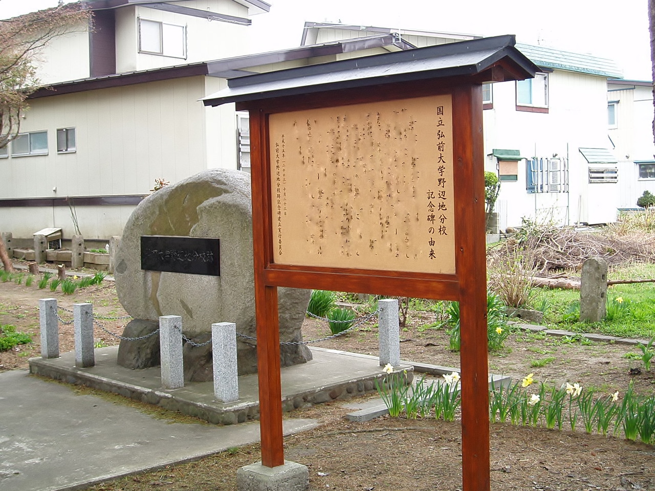
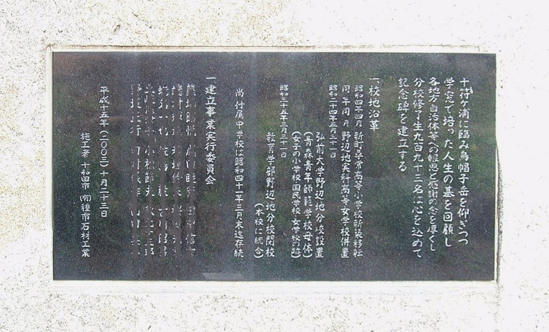
- Hirosaki-Univ-Noheji-2012050301, Hasec, CC0
- Hirosaki-Univ-Noheji-2012050304, Hasec, CC0
- Hirosaki-Univ-Noheji-2012050303, Hasec, CC0
- Hirosaki-Univ-Noheji-2012050302, Hasec, CC0
- Noheji Town Office, Coffee1000mg, CC BY 4.0
- 北野辺地駅 - panoramio, taneyan, CC BY-SA 3.0
- Ominato line 20210813073006 (51821645373), inunami, CC BY 2.0
- Joyato Park in Noheji Town, Coffee1000mg, CC BY 4.0
- Aoimori railway 20210813075028 (51812736105), inunami, CC BY 2.0
- Aoimori railway 20210813075735 (51812114023), inunami, CC BY 2.0
- 松浦食堂 - panoramio, くろふね, CC BY 3.0
- Noheji station, tsuda, CC BY-SA 2.0
- Aoimori railway 20210813075816 (51812735790), inunami, CC BY 2.0
- Aoimori-railway-Noheji-station-building-20120912-163854, LERK, CC BY-SA 4.0
- 野辺地駅 - panoramio, くろふね (Kurofune), CC BY 3.0
- Aoimori railway 20210813075918 (51812735665), inunami, CC BY 2.0
- Aoimori railway 20210813073617 (51812736475), inunami, CC BY 2.0
- Aoimori railway 20210813073757 (51812008666), inunami, CC BY 2.0
- Aoimori railway 20210813074014 (51812008566), inunami, CC BY 2.0
- 野辺地駅 - panoramio (1), くろふね, CC BY 3.0
- 駅名標【上りホーム】, ゆう旅の人, CC BY 4.0
- Aoimori railway 20210813075945 (51812113668), inunami, CC BY 2.0
- 1番線ホーム, ゆう旅の人, CC BY 4.0
- 駅名標【1番線ホーム】, ゆう旅の人, CC BY 4.0
- ホーム乗車位置案内, ゆう旅の人, CC BY 4.0
- 2.3番線ホーム, ゆう旅の人, CC BY 4.0
- Aoimori railway 20210813080024 (51812352454), inunami, CC BY 2.0
- 4.5番線ホーム, ゆう旅の人, CC BY 4.0


Page built November 4, 2026. Spotted a mistake? Tell us or suggest a place.