


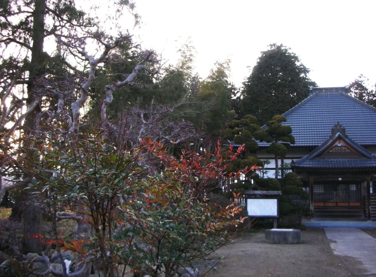


Ōhira, Japan
大衡村
Ōhira is a town of 5,918 people in Miyagi, Japan, founded in April 1, 1889.
Why visit Ōhira
Townapedia lists 20 museums and landmarks, 28 parks and trails, 107 places to eat, 10 places to stay and 11 attractions in and around town.
Highlights include Mahoroba Hall, Hinodeyama Tile Kiln Site, Yamahata Cave Tomb Cluster and Hananomori Golf Club.
Weather in Ōhira
Forecast from MET Norway (CC BY 4.0). Full forecast
About Ōhira
Ōhira (大衡村, Ōhira-mura) is a village located in Miyagi Prefecture, Japan. As of 31 May 2020, the village had an estimated population of 5,918, and a population density of 98 persons per km2 in 2108 households. The total area of the village is 60.32 square kilometres (23.29 sq mi).
From the Wikipedia article Ōhira, Miyagi (this version), under CC BY-SA 4.0.
Things to do11


Museums and landmarks20

Hinodeyama Tile Kiln Site
Monument and historic site · 7.6 km
Remains of Nara period kilns in Shikama, Japan
Yamahata Cave Tomb Cluster
Monument and historic site · 7.3 km
Archaeological site in Osaki, Japan

Shikama Town Nogyo Densho-kan
Museum · 6.6 km
40, 色麻町
Tu-Su 08:30-17:15

Poké Lids (Lapras, Foongus, Torterra);Poké Lids (Lapras and Foongus and Torterra)
Monument and historic site · 4.0 km
8 more on the map.
Parks, trails and playgrounds28

Hananomori Golf Club
Golf course · 2.9 km
92, 大衡村
Mo-Su 09:00-18:00



16 more on the map.
Restaurants and cafes107




95 more on the map.
History
The area of present-day Ōhira was part of ancient Mutsu Province, and has been settled since at least the Jōmon period by the Emishi people. Per the Shoku Nihongi, following an earthquake in the year 715 AD, a large number of people migrated to this area from the southern Kantō region, forming numerous fortified settlements. During the Sengoku period, the area was contested by various samurai clans before the area came under the control of the Date clan of Sendai Domain during the Edo period, under the Tokugawa shogunate.
The village of Ōhira was created within Kurokawa District, Miyagi Prefecture after the Meiji restoration on April 1, 1889, with the establishment of the modern municipalities system.
From the History section of Ōhira, Miyagi on Wikipedia, under CC BY-SA 4.0.
Where to stay10
Churches and places of worship44
Shopping21
Gas and EV charging8
Schools, colleges and libraries17
Healthcare26
Map of Ōhira
250 places. The map loads OpenStreetMap tiles when you open it.
Getting there and nearby towns
Sendai Airport (SDJ) is the nearest airport with scheduled flights listed in OpenStreetMap, 37 km away.
- Tomiya 9 km south, about 9 min by car
- Shikama 9 km north, about 9 min by car
- Furukawa 13 km northeast, about 13 min by car
- Ōsaki 16 km northeast, about 16 min by car
- Rifu 18 km southeast, about 18 min by car
- Kogota 18 km northeast, about 18 min by car
- Matsushima 20 km southeast, about 20 min by car
- Sendai 23 km south, about 23 min by car
- Tagajō-shi 22 km southeast, about 22 min by car
- Shiogama 22 km southeast, about 22 min by car
Drive times are estimates from straight-line distance, not routes.
Local news
Headlines from INDB.
Reviews, tips and questions
Loading what members have shared...
Sources and licences
- GeoNames (CC BY 4.0): population, coordinates, regions and time zone
- OpenStreetMap contributors (ODbL 1.0): places, airports, map data
- Wikidata (CC0 1.0): elevation, founding date, time zone, website, landmarks and historic places
- Wikimedia Commons (see each image): photos
- Wikipedia (CC BY-SA 4.0): overview and history text
Photo credits
- OhirajouatoPark-observatory, Wkatsuhiro, Public domain
- Ohirahachiman, ToshiJapon, CC BY-SA 4.0
- Tennouji, ToshiJapon, CC0
- KurokawaHighschool, Asasa198, CC BY-SA 3.0
- Iwakamiyamazumi, ToshiJapon, CC BY-SA 4.0
- Ohirashogakko, ToshiJapon, CC BY-SA 4.0
- Ohirachugakko, ToshiJapon, CC BY-SA 4.0
- Kuhonji1, ToshiJapon, CC BY-SA 4.0
- Yoshiokasho, ToshiJapon, CC BY-SA 4.0
- Yoshida-sho, ToshiJapon, CC BY-SA 4.0
- Ohira Furusato1, ToshiJapon, CC BY-SA 4.0
- 吉岡八幡神社, ToshiJapon, CC BY-SA 4.0
- Yuki shrine, ToshiJapon, CC BY-SA 4.0
- Manyokurieitopaaku, ToshiJapon, CC BY-SA 4.0
- 晩秋の陽射し Ohira - panoramio, cora_cola 茶々丸, CC BY-SA 3.0
- ぐるめ茶屋 - panoramio, cora_cola 茶々丸, CC BY-SA 3.0
- 大衡 Ohhira - panoramio, cora_cola 茶々丸, CC BY-SA 3.0
- 大衡村 わんぱくランド Ohira - panoramio, cora_cola 茶々丸, CC BY-SA 3.0
- 平場工業団地 - panoramio, cora_cola 茶々丸, CC BY-SA 3.0
- 夜明け前 (島崎藤村) - panoramio, cora_cola 茶々丸, CC BY-SA 3.0
- Nanatsumori 6mountains fromOohirajouato, Wkatsuhiro, Public domain
- 小雨のパークゴルフ場 54ホール - panoramio, cora_cola 茶々丸, CC BY-SA 3.0
- 小雨の中でも練習です。 西武じゃなく西部球場 - panoramio, cora_cola 茶々丸, CC BY-SA 3.0
- 大衡村 沓掛 - panoramio, cora_cola 茶々丸, CC BY-SA 3.0
- 西部球場 - panoramio, cora_cola 茶々丸, CC BY-SA 3.0
- 小雨でも日曜日なのでにぎわっています。 - panoramio, cora_cola 茶々丸, CC BY-SA 3.0
- 小雨のパークゴルフ場 - panoramio, cora_cola 茶々丸, CC BY-SA 3.0
- 大衡村 総合運動公園 Park Golf - panoramio, cora_cola 茶々丸, CC BY-SA 3.0
- セントラル自動車の敷地を広く取る為、道路を手前の方に。 - panoramio, cora_cola 茶々丸, CC BY-SA 3.0
- 七峰荘 - panoramio, cora_cola 茶々丸, CC BY-SA 3.0
- 進出する自動車製造会社の工場に合わせて道路を変える工事 - panoramio, cora_cola 茶々丸, CC BY-SA 3.0
- 花の杜GC - panoramio, cora_cola 茶々丸, CC BY-SA 3.0
- 一筋の光明 - panoramio, cora_cola 茶々丸, CC BY-SA 3.0
- 大和町蔵下の溜め池 - panoramio, cora_cola 茶々丸, CC BY-SA 3.0
- 大衡村 後女達居 - panoramio, cora_cola 茶々丸, CC BY-SA 3.0
- 夜明け - panoramio, cora_cola 茶々丸, CC BY-SA 3.0
- 大和町古舘 - panoramio, cora_cola 茶々丸, CC BY-SA 3.0
- 船形山方面を望む - panoramio, cora_cola 茶々丸, CC BY-SA 3.0
- 木のトンネル - panoramio, cora_cola 茶々丸, CC BY-SA 3.0
- 大和町蔵下住宅 - panoramio, cora_cola 茶々丸, CC BY-SA 3.0


Page built November 5, 2026. Spotted a mistake? Tell us or suggest a place.