
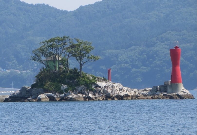


Ōtsuchi, Japan
大槌町
Ōtsuchi is a town of 11,572 people in Iwate, Japan, founded in April 1, 1889.
Why visit Ōtsuchi
Townapedia lists 60 museums and landmarks, 44 parks and trails, 89 places to eat, 23 places to stay and 10 attractions in and around town.
Highlights include 釜石市民ホール TETTO, Mt. Kamomemori, 釜石市郷土資料館 and Wind phone.
Weather in Ōtsuchi
Forecast from MET Norway (CC BY 4.0). Full forecast
About Ōtsuchi
Ōtsuchi (大槌町, Ōtsuchi-chō) is a town located in Kamihei District, Iwate Prefecture, in the Tōhoku region of northern Japan. As of 1 March 2020, the town had an estimated population of 11,572 and a population density of 58 persons per km2 in 5308 households. The total area of the town is 200.42 square kilometres (77.38 sq mi).
From the Wikipedia article Ōtsuchi, Iwate (this version), under CC BY-SA 4.0.
Travel tips from other travellers: Ōtsuchi on Wikivoyage (CC BY-SA 4.0).
Things to do10



Museums and landmarks60




Memorial Monument to the Great East Japan Earthquake
Monument and historic site · 4.5 km
Monument to Citizens’ Charter for Disaster Prevention
Monument and historic site · 4.5 km
Monument to the site of the disaster prevention center
Monument and historic site · 4.5 km
48 more on the map.
Parks, trails and playgrounds44
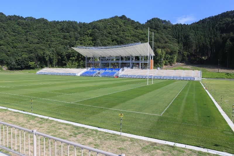

32 more on the map.
Restaurants and cafes89





77 more on the map.
History
The area of present-day Ōtsuchi was part of ancient Mutsu Province, dominated by the Nambu clan from the Muromachi period. It was part of Morioka Domain under the Edo period Tokugawa shogunate. The town of Ōtsuchi was created within Kamihei District with the Meiji period establishment of the modern municipality system on April 1, 1889. The town expanded by annexation of the neighboring village of Kanazawa on April 1, 1955.
From the History section of Ōtsuchi, Iwate on Wikipedia, under CC BY-SA 4.0.
Where to stay23
Churches and places of worship27
Shopping12
Gas and EV charging3
Schools, colleges and libraries26
Healthcare23
Map of Ōtsuchi
250 places. The map loads OpenStreetMap tiles when you open it.
Getting there and nearby towns
Hanamaki Airport (HNA) is the nearest airport with scheduled flights listed in OpenStreetMap, 66 km away.
- Kamaishi 10 km south, about 10 min by car
- Yamada 12 km north, about 12 min by car
- Miyako 31 km north, about 31 min by car
- Tōno 32 km west, about 32 min by car
- Ōfunato 36 km southwest, about 36 min by car
- Setamai 38 km southwest, about 38 min by car
- Rikuzen-Takata 44 km southwest, about 44 min by car
- Ōshū 68 km west, about 1 h 15 min by car
- Morioka 74 km northwest, about 1 h 15 min by car
- Ichinoseki 83 km southwest, about 1 h 30 min by car
Drive times are estimates from straight-line distance, not routes.
Local news
Headlines from INDB.
Reviews, tips and questions
Loading what members have shared...
Sources and licences
- GeoNames (CC BY 4.0): population, coordinates, regions and time zone
- OpenStreetMap contributors (ODbL 1.0): places, airports, map data
- Wikidata (CC0 1.0): elevation, founding date, time zone, website
- Wikimedia Commons (see each image): photos
- Wikipedia (CC BY-SA 4.0): overview and history text
Photo credits
- Hourai Islnd in Otsuchi, Ty19080914, CC BY-SA 4.0
- Ōtsuchi Town Hall - 20120901 tsunami damage1, Aude, CC BY-SA 3.0
- Ōtsuchi Town Hall - 20120901 tsunami damage2, Aude, CC BY-SA 3.0
- Ōtsuchi Town Hall - 20120901 tsunami damage3, Aude, CC BY-SA 3.0
- Iwate Prefectural Yamada High School, Yasu ( talk ), CC BY-SA 3.0
- AEON TOWN Kamaishi, AEON MAN, CC BY-SA 3.0
- 釜石鵜住居復興スタジアム, Onini, CC BY-SA 4.0
- Ōtsuchi wind phone 5, Matthew Komatsu ( https://longreads.com/2019/03/11/after-the-tsunami/ ), CC BY-SA 4.0
- Kamaishi Civic Hall, Ty19080914, CC BY-SA 4.0
- Museum of whale and sea, Ty19080914, CC BY-SA 4.0
- Unosumi Shrine in Kamaishi, Iwate, Japan, Yasu ( talk ), CC BY-SA 3.0
- Kichijyoji Hondo,Otsuchi, Ty19080914, CC BY-SA 4.0
- Otsuchiinarijinjya,Otsuchi, Ty19080914, CC BY-SA 4.0
- Sekioji sanmon,Kamaishi, Ty19080914, CC BY-SA 4.0
- Senjyuin,Kamaishi, Ty19080914, CC BY-SA 4.0
- Kamaishi Elementary School 220507, Yauchi, CC BY-SA 4.0
- 釜石中学校, Ty19080914, CC BY-SA 4.0
- イオンタウン釜石, 佐藤翔太, CC BY-SA 4.0
- Iwate Prefectural Otsuchi High School, Yasu ( talk ), CC BY-SA 3.0
- Otsuchi Municipal Otsuchi Gakuen, Yasu ( talk ), CC BY-SA 3.0
- Otsuchi Municipal Kirikiri Elementary School, Yasu ( talk ), CC BY-SA 3.0
- Fukko Kirari Shotengai in Otsuchi, Iwate, Japan, Yasu ( talk ), CC BY-SA 3.0
- JR East BRT Ofunato Uoichibamae Station, Yasu ( talk ), CC BY-SA 3.0
- Temporary town hall of Otsuchi, Iwate, Yasu ( talk ), CC BY-SA 3.0
- Otsuchi Town Hall 2012, Yasu ( talk ), CC BY-SA 3.0
- 大槌町立図書館 2011.07.09 - flickr 6913942736 edd05d1c91 o, npo.digi_ken, CC BY 2.0
- 大槌小学校 (5715304210), Hitoshi Taguchi from Arakawa-ku, Japan, CC BY 2.0
- Otsuchi Post Office in Otsuchi, Iwate, Japan, Yasu ( talk ), CC BY-SA 3.0
- 大槌町立図書館 2011.07.09 - flickr 6913942328 22b5ae3e63 o, npo.digi_ken, CC BY 2.0
- 大槌町立図書館 2011.07.09 - flickr 6913943122 f783d6599b o, npo.digi_ken, CC BY 2.0
- 大槌町立図書館 2011.07.09 - flickr 7060027625 52d82a444e o, npo.digi_ken, CC BY 2.0
- Japan's Triple Disaster - Two Years On (8545083970), Al Jazeera English, CC BY-SA 2.0
- 大槌町立図書館 2011.07.09 - frickr 6913940560 8b84800f75 o, npo.digi_ken, CC BY 2.0
- 大槌町立図書館 2011.07.09 - flickr 7060024737 059fff053c o, npo.digi_ken, CC BY 2.0
- 大槌町立図書館 2011.07.09 - flickr 6913941830 93d3914fd9 o, npo.digi_ken, CC BY 2.0
- 大槌駅 - panoramio, くろふね, CC BY 3.0
- 大槌駅 - panoramio - くろふね, くろふね, CC BY 3.0
- Otsuchi-Sta01, Songsknow, CC BY-SA 3.0
- Ootsuchi-st 201309, Kei365, CC BY-SA 4.0
- Ootsuchi-st 201509, Kei365, CC BY-SA 4.0


Page built November 4, 2026. Spotted a mistake? Tell us or suggest a place.