


Why visit Shinkoyasu
Townapedia lists 34 museums and landmarks, 128 parks and trails, 144 places to eat, 3 places to stay and 11 attractions in and around town.
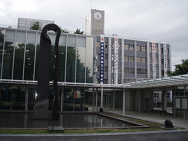
Highlights include Kanagawa University, Kawasaki City College of Nursing, Kanagawa Prefectural Museum of Cultural History and Nissan Engine Museum.
Weather in Shinkoyasu
Forecast from MET Norway (CC BY 4.0). Full forecast
Things to do11

Kawasaki City College of Nursing
School · 5.2 km
Higher education institution in Kanagawa Prefecture, Japan

Shin-Yokohama Raumen Museum
Monument and historic site · 4.3 km
Amusement park


Yashima Gakuen University
School · 4.6 km
Distance learning university in Japan


Yokohama College of Commerce
School · 1.0 km
University in Yokohama, Japan

Yokohama Cosmo World
Monument and historic site · 4.3 km
Theme park in Yokohama, Kanagawa Prefecture, Japan



Museums and landmarks34

Kanagawa Prefectural Museum of Cultural History
Museum · 4.9 km
A museum in Yokohama City, Japan for anthropology and history


Yokohama Anpanman Children's Museum
Museum · 3.9 km
Building in Nishi-ku, Kanagawa Prefecture, Japan

Yokohama Archives of History
Museum · 4.9 km
Archive in Yokohama, Japan

Yokohama Curry Museum
Museum · 5.4 km
Museum in Yokohama, Japan about Japanese curry


Yokohama Port Museum
Museum · 4.5 km
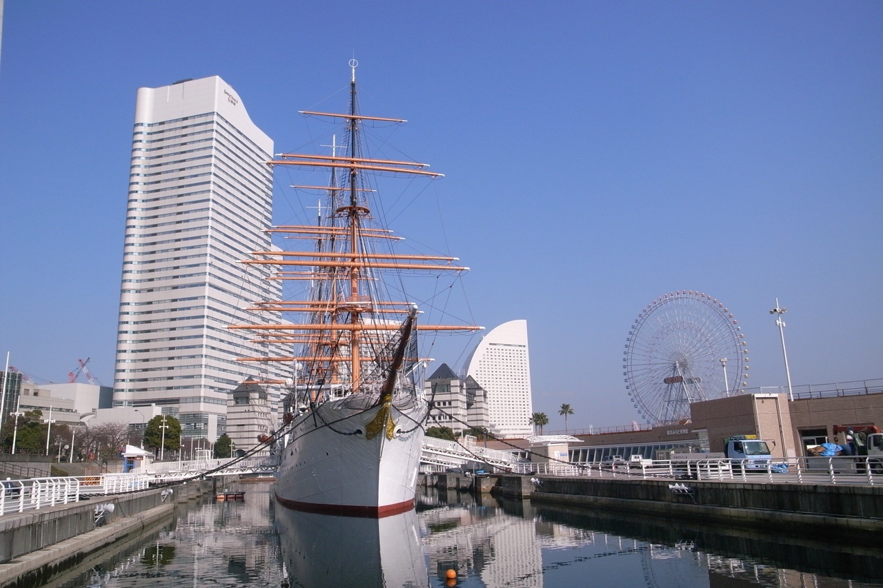
Maritime museum in Yokohama, Japan


22 more on the map.
Parks, trails and playgrounds128







116 more on the map.
Restaurants and cafes144


Booo
Restaurant · Italian · 2.1 km
23, 横浜市
18:00-24:00; Sa-Su 11:30-15:00, 18:00-24:00, Mo off
Dwarika's
Restaurant · Indian · 2.3 km
11, 横浜市
Mo-Su 11:00-15:00,17:00-23:00

Saju
Cafe · Coffee Shop · 2.2 km
24, 横浜市
10:00-20:00; Sa-Su,PH 11:00-19:00; Mo off
Soba-koh
Restaurant · Japanese · 2.2 km
8, 横浜市
11:00-15:30, 17:30-23:00
Bocca grande
Restaurant · Pizza · 0.9 km
Mo-Su 12:00-14:30,17:00-22:30; We off
Doutor Coffee Shop
Cafe · Coffee Shop · 2.2 km
Sa-Su 07:30-21:00; Mo-Fr 07:00-21:00
132 more on the map.
Where to stay3
Churches and places of worship41
Shopping35
Gas and EV charging13
Schools, colleges and libraries36
Healthcare34
Map of Shinkoyasu
250 places. The map loads OpenStreetMap tiles when you open it.
Getting there and nearby towns
Tokyo International Airport (HND) is the nearest airport with scheduled flights listed in OpenStreetMap, 14 km away.
- Yokohama 6 km south, about 6 min by car
- Kawasaki 7 km northeast, about 7 min by car
- Ōta 10 km northeast, about 10 min by car
- Den’enchōfu 12 km north, about 12 min by car
- Azamino 13 km northwest, about 13 min by car
- Komae 18 km northwest, about 18 min by car
- Noborito 17 km northwest, about 17 min by car
- Yamato 19 km west, about 19 min by car
- Machida 19 km west, about 19 min by car
- Tokyo 22 km north, about 22 min by car
Drive times are estimates from straight-line distance, not routes.
Local news
Headlines from INDB.
Reviews, tips and questions
Loading what members have shared...
Sources and licences
- GeoNames (CC BY 4.0): population, coordinates, regions and time zone
- OpenStreetMap contributors (ODbL 1.0): places, airports, map data
- Wikidata (CC0 1.0): elevation, founding date, time zone, website, landmarks and historic places
- Wikimedia Commons (see each image): photos
Photo credits
- Orto Yokohama 01, 妖精書士, CC0
- Keikyu-railway-KK32-Keikyu-shinkoyasu-station-platform-20230708-112605, LERK, CC BY-SA 4.0
- Keikyu-shinkoyasu Sta plattform, AD Train, CC BY-SA 3.0
- Keikyu-railway-KK32-Keikyu-shinkoyasu-station-platform-20230708-113036, LERK, CC BY-SA 4.0
- Shinkoyasu Catholic Church, Abasaa, Public domain
- Ku-yokohama-campus, Matsuri shonan at Japanese Wikipedia, CC BY-SA 3.0
- Kawasaki-City-College-of-Nursing-2013092901, Hasec, CC0
- Shin-Yokohama Raumen Museum DSCN3985, Brakeet, CC0
- Tsurumi tsubasa bridge from twin tower, Remioromen, CC BY-SA 3.0
- Yashima Gakuen Univ. Yokohama, MJ-bird, CC BY 2.1 jp
- Sunset of Yokohama Bay Bridge, Captain76, CC BY-SA 3.0
- Yokohama-Japon112, Diego Delso, CC BY-SA 4.0
- Yokohama Marine Tower 2022 - 01, NEO-NEED, CC BY-SA 4.0
- Institute of Information Security, MJ-bird, Public domain
- Kanagawa Prefectural Museum of Cultural History 2009, Wiiii, CC BY-SA 3.0
- Yokohama Anpanman Children's Museum 2019 - 03, Thirteen-fri, CC BY-SA 4.0
- Yokohama Archives of History02, Mutimaro, CC BY-SA 3.0
- Yokohama Curry Museum by woinary, woinary from Isezaki-cho, Naka, Yokohama, Kanagawa, CC BY-SA 2.0
- Yokohama Museum of Art 2009, Wiiii, CC BY-SA 3.0
- Yokohama Port Museum 2022 - 02, NEO-NEED, CC BY-SA 4.0
- Kamon-yama Park, user:Hiroyuki0904, Public domain
- Marinos Town 002, clubhouse, 掬茶, CC BY-SA 3.0
- Yokohama Nipponmaru 3, Volfgang, CC BY-SA 3.0
- ISY01, Pqks758, Public domain
- Tsurumiuniv, The original uploader was Hykw-a4 at Japanese Wikipedia ., CC BY-SA 3.0
- Sojiji ButsuDen, Pqks758, Public domain
- Asano Junior & Senior High School, Abasaa, Public domain
- NissanGuesthall, Ypy31, Public domain
- Myoren-ji 02(Minato,Yokohama,Kanagawa), 秋月 智絵沙(Chiether), CC BY 3.0
- Yokohama Science Frontier High School, Abasaa, Public domain
- SAISEIKAI Kanagawa prefecture hospital, Waka77, CC0
- Kasanogi Inari Jinja 01, Aimaimyi, CC BY-SA 3.0
- 横浜市立浦島小学校, 与謝野鋼管, CC0
- Shoinji temple, ブルーノ・プラス, CC BY 4.0
- 道念稲荷神社, 塚田淳, CC BY 3.0
- Yokohamashokauniv, The original uploader was Hykw-a4 at Japanese Wikipedia ., CC BY-SA 3.0
- Sōjiji Daisodo 2009, Wiiii, CC BY-SA 3.0
- Yokohama College of Commerce 02, Abasaa, Public domain
- 横浜市立子安小学校2024, 与謝野鋼管, CC0
- The statue of Mr. Soichiro Asano in Asano Junior and Senior High School, ジャモジャモ, CC BY-SA 4.0


Page built November 5, 2026. Spotted a mistake? Tell us or suggest a place.