


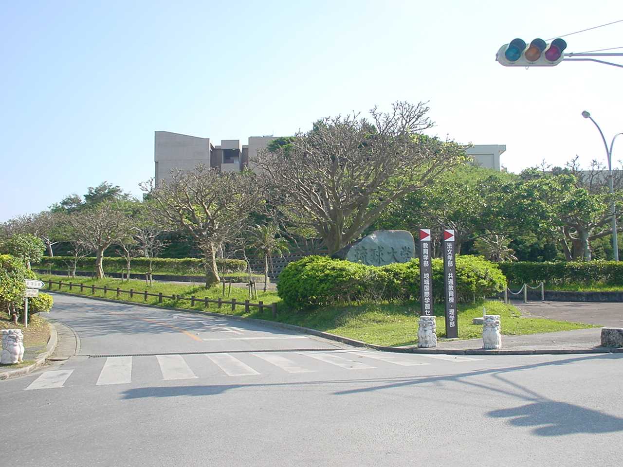
Yonabaru, Japan
与那原町
Yonabaru is a town of 19,695 people in Okinawa, Japan, founded in April 1, 1949.
Why visit Yonabaru
Townapedia lists 24 museums and landmarks, 30 parks and trails, 36 places to eat, 1 place to stay and 11 attractions in and around town.
Highlights include Okinawa Christian University, Okinawa Prefectural University of Arts, Ryukyu University Museum (Fūjukan) and Shuri Castle.
Weather in Yonabaru
Forecast from MET Norway (CC BY 4.0). Full forecast
About Yonabaru
Yonabaru (与那原町, Yonabaru-chō; Okinawan: Yunabaru) is a town in Shimajiri District, Okinawa Prefecture, Japan. It is located at the southern end of Okinawa Island, on the east coast, overlooking Nakagusuku Bay.
From the Wikipedia article Yonabaru, Okinawa (this version), under CC BY-SA 4.0.
Things to do11

Okinawa Christian University
School · 3.8 km
Higher education institution in Okinawa Prefecture, Japan

Okinawa Prefectural University of Arts
School · 3.8 km
Higher education institution in Okinawa Prefecture, Japan
Okinawa University
School · 5.3 km
Higher education institution in Okinawa Prefecture, Japan
University of the Ryukyus
School · 5.3 km
Higher education institution in Okinawa Prefecture, Japan




Museums and landmarks24

Ryukyu University Museum (Fūjukan)
Museum · 5.2 km
Museum in Nishihara, Okinawa, Japan


Tamaudun
Monument and historic site · 4.1 km
Building in Naha, Okinawa Prefecture, Japan
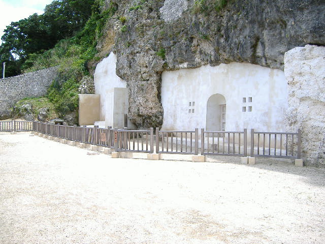


Urasoe yōdore
Monument and historic site · 5.2 km
Royal mausoleum in Okinawa


12 more on the map.
Parks, trails and playgrounds30



18 more on the map.
Restaurants and cafes36



24 more on the map.
History
References to the area represented by the modern town of Yonabaru may be found in the Omoro Sōshi, which makes mention of "Yonaharu" and "Yonaha-bama". According to the Chūzan Seifu (中山世譜), Shō Hashi, before becoming king, acquired iron from foreign ships that came to Yonabaru to trade, forged from this metal tools for farming, and gave these to the people.
Formerly part of Ōzato Magiri, with the abolition of the magiri in 1908, the area of Yonabaru became part of Ōzato Village. A railway line to Naha opened in 1914 and with it came a period of economic growth. Talk during the early Shōwa period of separate municipal status was interrupted by the Pacific War and the foundation of Yonabaru Town had to wait until 1 April 1949.
From the History section of Yonabaru, Okinawa on Wikipedia, under CC BY-SA 4.0.
Where to stay1
Churches and places of worship8
Shopping19
Gas and EV charging11
Schools, colleges and libraries23
Nishihara Town Nishihara Higashi Junior High School
School · 2.6 km
1 字小那覇308-1, 西原町
Healthcare11
Map of Yonabaru
174 places. The map loads OpenStreetMap tiles when you open it.
Getting there and nearby towns
Naha Airport (OKA) is the nearest airport with scheduled flights listed in OpenStreetMap, 11 km away.
- Kanegusuku 3 km west, about 3 min by car
- Nishihara 6 km north, about 6 min by car
- Urasoe 6 km north, about 6 min by car
- Ginowan 7 km north, about 7 min by car
- Nakagusuku 6 km northeast, about 6 min by car
- Nanjō 7 km south, about 7 min by car
- Naha 7 km west, about 7 min by car
- Tomigusuku 7 km west, about 7 min by car
- Yaese 9 km south, about 9 min by car
- Uruma 22 km northeast, about 22 min by car
Drive times are estimates from straight-line distance, not routes.
Local news
Headlines from INDB.
Reviews, tips and questions
Loading what members have shared...
Sources and licences
- GeoNames (CC BY 4.0): population, coordinates, regions and time zone
- OpenStreetMap contributors (ODbL 1.0): places, airports, map data
- Wikidata (CC0 1.0): elevation, founding date, time zone, website, landmarks and historic places
- Wikimedia Commons (see each image): photos
- Wikipedia (CC BY-SA 4.0): overview and history text
Photo credits
- Yonabarutyou, ja:user:Hykw-a4, CC BY-SA 3.0
- Yonabaru Police Station 20150318, そらみみ, CC BY-SA 4.0
- A-PRICE Yonabaru Shop 20150318, そらみみ, CC BY-SA 4.0
- Okinawa Prefectural University of Arts Naha Japan02bs5, 663highland, CC BY 2.5
- Okinawauniv, Hykw-a4 at ja.Wikipedia, CC BY-SA 3.0
- Ryuukyuudaigaku, Hykw-a4 at ja.Wikipedia, CC BY-SA 3.0
- 琉球大学博物館(風樹館), Kiken68, CC0
- Naha Shuri Castle51s3s4200, 663highland, CC BY 2.5
- Tamaudun01s3s4592, 663highland, CC BY 2.5
- Urasoe Yodore3, あばさー, Public domain
- Kaiho High School, Abasaa, Public domain
- Bengadake3, Abasaa, Public domain
- Haebaru Junior High School, hyolee2, CC BY-SA 4.0
- Nakagami Nishihara Junior High School, hyolee2, CC BY-SA 4.0
- Nishiharahigashi Junior High School, hyolee2, CC BY-SA 4.0
- Okikiri, Hykw-a4 at ja.Wikipedia, CC BY-SA 3.0
- 校舎 (91798), Wikikikikikik, CC BY-SA 4.0
- Chinenhs, Kattin, CC BY-SA 3.0
- 聖クララ教会, Nonstep, CC BY-SA 4.0
- Panoramic view seen from the top of Untamamui at west 202410, Kugel~commonswiki, CC BY-SA 4.0
- Okinawa Women's Junior College 03, Kugel~commonswiki, CC BY-SA 4.0
- Okinawa Women's Junior College 02, Kugel~commonswiki, CC BY-SA 4.0
- Okinawabayari-su, Kattin, CC BY-SA 3.0
- Okinawa Women's Junior College 01, Kugel~commonswiki, CC BY-SA 4.0
- Japan National Route 506 in Haebaru, Shimajiri, Okinawa, そらみみ, CC BY-SA 4.0
- Nishihara JCT TOLL GATE-20120816, Rsa, CC BY-SA 3.0
- Haebaru Kita IC-20120816, Rsa, CC BY-SA 3.0
- KSP130 1KR-FE (cropped), CatseyeTaku, CC BY-SA 4.0
- KSP130 1KR-FE, CatseyeTaku, CC BY-SA 4.0
- Okinawa Nursing School 20150318, そらみみ, CC BY-SA 4.0
- Nishihara Marine Park 201806 01, Kugel~commonswiki, CC BY-SA 4.0
- Nishihara Marine Park 201806 02, Kugel~commonswiki, CC BY-SA 4.0
- Imui Utaki 02, Kugel~commonswiki, CC BY-SA 4.0
- Imui Utaki 01, Kugel~commonswiki, CC BY-SA 4.0
- Shimashi Ozato Castle peak tree, Dwcarlso, CC BY-SA 4.0
- Shimashi Ozato Castle well, Dwcarlso, CC BY-SA 4.0
- Shimashi Ozato Castle side stairs, Dwcarlso, CC BY-SA 4.0
- Shimashi Ozato Castle yard, Dwcarlso, CC BY-SA 4.0
- Shimashi Ozato Castle peak, Dwcarlso, CC BY-SA 4.0
- Shimashi Ozato Castle outer stairs, Dwcarlso, CC BY-SA 4.0
- Panoramic view seen from the top of Untamamui at east 202410, Kugel~commonswiki, CC BY-SA 4.0


Page built November 5, 2026. Spotted a mistake? Tell us or suggest a place.