


Lebanon, Oregon
Lebanon is a city of 19,344 people in Linn County, Oregon, founded in 1878.
Why visit Lebanon
Townapedia lists 3 museums and landmarks, 13 parks and trails, 26 places to eat, 3 places to stay and 2 attractions in and around town.
Highlights include Kuhn Cinema, Angell–Brewster House and Lebanon Southern Pacific Railroad Depot.
August is the warmest month, with average highs of 86°F; December lows average 36°F.
Weather in Lebanon
Forecast from the National Weather Service. Full forecast
About Lebanon
Lebanon is a city in Linn County, Oregon, United States. Lebanon is located in northwest Oregon, southeast of Salem. The population was 19,690 at the 2020 census. Lebanon sits beside the South Santiam River on the eastern edge of the Willamette Valley, close to the Cascade Range and a 25-minute drive to either of the larger cities of Corvallis and Albany.
From the Wikipedia article Lebanon, Oregon (this version), under CC BY-SA 4.0.
Things to do2


Museums and landmarks3

Angell–Brewster House
Monument and historic site · National Register of Historic Places · 3.9 mi
Former house near Lebanon, Oregon, USA

Lebanon Southern Pacific Railroad Depot
Monument and historic site · National Register of Historic Places · 0.6 mi
Railway station in Lebanon, the United States of America


Louis A. Crandall House
Monument and historic site · National Register of Historic Places · 0.5 mi
Historic house in Lebanon, Oregon, USA
Parks, trails and playgrounds13

Ralston Park
Park · 0.5 mi
Small park with the Lebanon Santiam Canal running through it. Has a gazebo for events, a picnic area, grass, and no playground. There is...
1 more on the map.
Restaurants and cafes26


1847 Bar and Grill
Restaurant · Regional · 1.5 mi
505 Mullins Drive, Lebanon
11:00-22:00; Fr,Sa 11:00-23:00


14 more on the map.
History
In 1845, William Hawk and Thomas Morgan built a cabin on the site of present-day Lebanon. Then in 1847, Jeremiah and Jemima Ralston bought out Hawk and Morgan's cabin and the surrounding land, and built a log house on a low rise at what is now Ralston Park. Nearby, on today's Main Street, they built a store. It soon became a stop for gold seekers on their way to California. In the following years, a village grew around the store as several other settlers moved in, taking advantage of the Donation Land Claim Act to claim land for free. They gained a post office in 1851. In 1855, the Ralstons filed a plat for the town, naming it for Jeremiah's birthplace of Lebanon, Tennessee. They also donated land for the Santiam Academy, which the Methodist Episcopal Church operated until 1906.
Lebanon was established on the land of the Louis Band of the Santiam Kalapuya. Like other Kalapuya tribes, the Santiam had dwindled in number, from malaria and other diseases contracted from fur traders, before the homesteading settlers arrived. In 1855, the band sold the U.S. government their rights to the land and moved to a temporary reservation on a claim belonging to the Ralstons' son, just south of their own. There the band awaited removal to the Grande Ronde Valley.
From the History section of Lebanon, Oregon on Wikipedia, under CC BY-SA 4.0.
Where to stay3
Best Western Premier Boulder Falls Inn
Motel and hotel · 1.4 mi
505 Mullins Drive, Lebanon
Churches and places of worship14
Lebanon First Assembly of God
Church · Evangelical · 0.6 mi
726 West Oak Street, Lebanon
Shopping4
Gas and EV charging5
Schools, colleges and libraries14
Linn-Benton Community College - Advanced Transportation Technology Center
School · 1.5 mi
2000 West Oak Street, Lebanon
Linn-Benton Community College - Healthcare Occupations Center
School · 1.3 mi
300 Mullins Drive, Lebanon
Healthcare3
Samaritan Pharmacy Lebanon
Clinic and pharmacy · 1.6 mi
675 North 5th Street, Lebanon
Map of Lebanon
87 places. The map loads OpenStreetMap tiles when you open it.
Climate by month
Monthly table
| Month | High | Low | Rain |
|---|---|---|---|
| Jan | 49°F | 37°F | 6.3 in |
| Feb | 53°F | 37°F | 5.1 in |
| Mar | 58°F | 39°F | 5.2 in |
| Apr | 62°F | 42°F | 3.9 in |
| May | 69°F | 47°F | 2.8 in |
| Jun | 76°F | 52°F | 2.0 in |
| Jul | 85°F | 55°F | 0.4 in |
| Aug | 86°F | 56°F | 0.6 in |
| Sep | 79°F | 51°F | 1.5 in |
| Oct | 65°F | 45°F | 3.5 in |
| Nov | 54°F | 40°F | 6.8 in |
| Dec | 47°F | 36°F | 6.9 in |
U.S. Climate Normals 1991-2020 for Lebanon (0 mi away), rain and snow from Lebanon 1.4 Ssw, NOAA NCEI.
People and cost of living
American Community Survey 5-year estimates, 2020-2024, U.S. Census Bureau. Estimates have margins of error, larger for small towns.
Disaster history
Linn County has had 17 federal disaster declarations since 2000, most often for severe storms.
- 2026-04-07: Severe Storms, Straight-Line Winds, Flooding, Landslides, And Mudslides (Severe Storm)
- 2024-04-13: Severe Winter Storms, Straight-Line Winds, Landslides, And Mudslides (Severe Storm)
- 2021-05-04: Severe Winter Storm (Severe Storm)
- 2020-09-15: Wildfires And Straight-Line Winds (Fire)
- 2020-09-10: Wildfires (Fire)
- 2020-09-08: Beachie Creek Lionshead Fire Complex (Fire)
OpenFEMA disaster declarations summaries.
Getting there and nearby towns
Corvallis Municipal Airport (CVO) is the nearest airport with scheduled flights listed in OpenStreetMap, 19 miles away.
- Albany 11 mi northwest, about 18 min by car
- Corvallis 18 mi west, about 30 min by car
- Independence 27 mi northwest, about 43 min by car
- Salem 28 mi north, about 45 min by car
- Four Corners 28 mi north, about 45 min by car
- Hayesville 31 mi north, about 50 min by car
- Keizer 33 mi north, about 53 min by car
- Eugene 34 mi south, about 55 min by car
- Dallas 34 mi northwest, about 54 min by car
- Canby 52 mi north, about 1 h 30 min by car
Drive times are estimates from straight-line distance, not routes.
Local news
Headlines from INDB, the NEMICO news database.
Reviews, tips and questions
Loading what members have shared...
Sources and licences
- NCES EDGE (Public domain): public schools
- NOAA NCEI U.S. Climate Normals 1991-2020 (Public domain): climate by month
- OpenFEMA (Public domain): disaster declarations
- OpenStreetMap contributors (ODbL 1.0): places, airports, map data
- U.S. Census Bureau (Public domain): population, income, housing, education, commute
- Wikidata (CC0 1.0): elevation, founding date, time zone, website, landmarks and historic places
- Wikimedia Commons (see each image): photos
- Wikipedia (CC BY-SA 4.0): overview and history text
Photo credits
- Peterson Butte from Ridgeway Butte, Lebanon, Oregon - panoramio, randallagordon, CC BY-SA 3.0
- Lebanon High School Oregon north facing view, Tedder, CC BY-SA 4.0
- Lebanon City Hall, Lebanon - DPLA - 9bf33244806de37144b907c75c25bf5f, Gary Halvorson, Oregon State Archives, CC BY 4.0
- Night in Lebanon, Oregon, KanaArima, CC BY-SA 3.0
- Cheadle Lake in snow, Lebanon, Oregon (46107729135), Bonnie Moreland from Oregon, United States, CC0
- Lebanon, OR 97355, USA - panoramio, randallagordon, CC BY-SA 3.0
- Lebanon Southern Pacific Railroad Depot, 46percent, Public domain
- Louis A. Crandall House Lebanon, 46percent, Public domain
- Angell-Brewster House Lebanon, Unknown author, Public domain
- Snow in the Willamette Valley, Oregon (46277091354), Bonnie Moreland from Oregon, United States, Public domain
- Isabel Bloom Duck Sculpture, BouncyDeer8, CC BY 4.0
- Alley - panoramio - randallagordon, randallagordon, CC BY-SA 3.0
- Young maple leaves over water (8637427650), Sheila Sund from Salem, United States, CC BY 2.0
- The early bird gets the worm (8636326715), Sheila Sund from Salem, United States, CC BY 2.0
- Train's a'coming (11167475024), Sheila Sund from Salem, United States, CC BY 2.0
- Cheadle Lake - panoramio, randallagordon, CC BY-SA 3.0
- 1910 Railroad Bridge (8636324141), Sheila Sund from Salem, United States, CC BY 2.0
- Albany and eastern (4136613496), Bruce Fingerhood from Springfield, Oregon, US, CC BY 2.0
- Under the railroad trestle (8637429398), Sheila Sund from Salem, United States, CC BY 2.0
- Train trestle in the snow, Willamette Valley, Oregon (33179199188), Bonnie Moreland from Oregon, United States, Public domain
- Hang in there! (15229602746), Kirt Edblom from Albany, Oregon, United States, CC BY-SA 2.0
- Checking the Signals (15065839159), Kirt Edblom from Albany, Oregon, United States, CC BY-SA 2.0
- Rip the cover off (15252595795), Kirt Edblom from Albany, Oregon, United States, CC BY-SA 2.0
- Shortstop (15252602145), Kirt Edblom from Albany, Oregon, United States, CC BY-SA 2.0
- Eye on the ball (15229604656), Kirt Edblom from Albany, Oregon, United States, CC BY-SA 2.0
- Hit it to me, I dare ya (15229600656), Kirt Edblom from Albany, Oregon, United States, CC BY-SA 2.0
- In the dugout (15065836329), Kirt Edblom from Albany, Oregon, United States, CC BY-SA 2.0
- Weldwood Water Tower - panoramio, randallagordon, CC BY-SA 3.0
- Dunn Forest, facing Soap Creek Valley, Oregon State University, CC BY-SA 2.0
- 2 Dunn Forest, facing Soap Creek Valley, Oregon State University, CC BY-SA 2.0
- Peterson Butte from Ridgeway Butte - panoramio, randallagordon, CC BY-SA 3.0
- Winter sunrise in Willamettte Valley, Oregon (46958839802), Bonnie Moreland from Oregon, United States, Public domain
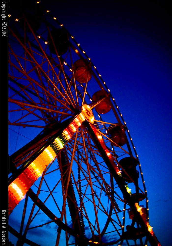
- Gondolas In the Night - panoramio, randallagordon, CC BY-SA 3.0
- Zipper - panoramio, randallagordon, CC BY-SA 3.0
- Fire In the Sky - panoramio, randallagordon, CC BY-SA 3.0


Page built October 30, 2026. Spotted a mistake? Tell us or suggest a place.