


Lynnfield, Massachusetts
Lynnfield is a community of 13,064 people in Essex County, Massachusetts.
Why visit Lynnfield
Townapedia lists 99 museums and landmarks, 94 parks and trails, 71 places to eat, 8 places to stay and 5 attractions in and around town.
Highlights include IMAX, Alden Batchelder House, Batchelder House and Cedar Glen Golf Course.
July is the warmest month, with average highs of 81°F; January lows average 16°F, and about 48 inches of snow fall in a normal year.
Weather in Lynnfield
Forecast from the National Weather Service. Full forecast
Things to do5


Museums and landmarks99

Alden Batchelder House
Monument and historic site · National Register of Historic Places · 3.3 mi
House in Reading, Massachusetts
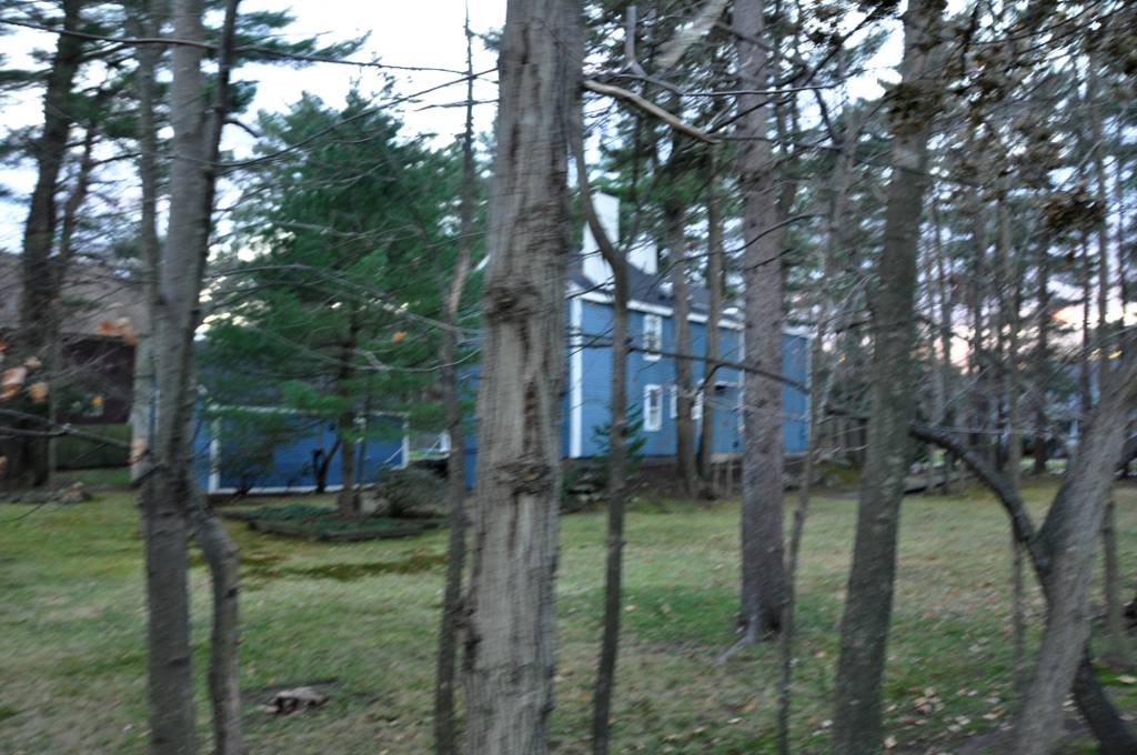
Batchelder House
Monument and historic site · National Register of Historic Places · 3.5 mi
Building in Massachusetts, United States
Battell House
Monument and historic site · National Register of Historic Places · 2.6 mi
Building in Massachusetts, United States
Beebe Homestead
Monument and historic site · National Register of Historic Places · 2.2 mi
Building in Massachusetts, United States

Benjamin Beard House
Monument and historic site · National Register of Historic Places · 3.4 mi
Building in Massachusetts, United States

Bowser Gazebo
Monument and historic site · National Register of Historic Places · 3.5 mi
Gazebo in Reading, Massachusetts, United States
Brande House
Monument and historic site · National Register of Historic Places · 3.5 mi
Building in Massachusetts, United States

Capt. Nathaniel Parker Red House
Monument and historic site · National Register of Historic Places · 3.5 mi
Building in Massachusetts, United States
Capt. William Green House
Monument and historic site · National Register of Historic Places · 1.5 mi
Building in Massachusetts, United States
Carroll-Hartshorn House
Monument and historic site · National Register of Historic Places · 3.2 mi
Building in Massachusetts, United States

Carter Mansion
Monument and historic site · National Register of Historic Places · 3.6 mi
Building in Massachusetts, United States


Charles Manning House
Monument and historic site · National Register of Historic Places · 2.9 mi
Building in Massachusetts, United States
87 more on the map.
Parks, trails and playgrounds94




82 more on the map.
Restaurants and cafes71

Bellino's Trattoria
Restaurant · Italian · 2.2 mi
146 Lowell Street, Wakefield
Tu-Th, Su 04:00-21:00; Fr-Sa 04:00-22:00
Charm Thai Bistro
Restaurant · Thai · 2.7 mi
412 Main Street, Wakefield
Mo 11:30-21:30; We-Th 11:30-21:30; Fr-Sa 11:30-22:15; Su 16:00-21:30
Countryside Deli
Restaurant · American, Sandwich, Pizza · 1.5 mi
12 Salem Street, Lynnfield
Mo-Su 11:00-20:00

Legal C Bar
Restaurant · Seafood · 1.4 mi
220 Market Street
Su-We 11:00-22:00; Th 11:00-23:00; Fr-Sa 11:00-00:30
Massimos
Restaurant · Italian · 2.6 mi
19 Centre Street, Wakefield
Tu-Th 16:00-21:00; Fr 16:00-22:00; Sa 12:00-22:00; Su 12:00-21:00
New Style Asian Food
Restaurant · Chinese · 1.5 mi
12 Salem Street, Lynnfield
Tu,We,Th,Su 11:00-20:45; Fr-Sa 11:00-21:45

Ninety Nine Restaurant & Pub
Diner · American · 1.7 mi
317 Salem Street, Lynnfield
Mo-We 11:00-21:30; Th-Sa 11:00-22:00; Su 11:00-21:00
Phuket
Restaurant · Thai · 2.6 mi
21 Princess Street, Wakefield
Su 17:00-21:30;Mo-Th 11:30-21:30;Fr-Sa 11:30-22:00
59 more on the map.
Where to stay8
Four Points by Sheraton Wakefield Boston Hotel & Conference Center
Motel and hotel · 1.4 mi
1 Audubon Road, Wakefield
Plaza Motel Peabody Massachusetts
Motel and hotel · 2.5 mi
125 Newbury Street, Danvers
Churches and places of worship15
Biserica Ortodoxă Română „Sfânta Parascheva” Boston
Church · Romanian Orthodox · 2.5 mi
171 Water Street, Wakefield
Wakefield-Lynnfield United Methodist Church
Church · Methodist · 1.8 mi
273 Vernon Street, Wakefield
Shopping9
Gas and EV charging20
Schools, colleges and libraries64
Healthcare3
Map of Lynnfield
250 places. The map loads OpenStreetMap tiles when you open it.
Climate by month
Monthly table
| Month | High | Low | Rain | Snow |
|---|---|---|---|---|
| Jan | 35°F | 16°F | 3.5 in | 13.4 in |
| Feb | 38°F | 17°F | 3.3 in | 13.2 in |
| Mar | 44°F | 25°F | 4.5 in | 9.4 in |
| Apr | 56°F | 35°F | 4.3 in | 1.8 in |
| May | 67°F | 45°F | 3.7 in | 0.0 in |
| Jun | 75°F | 55°F | 4.2 in | 0.0 in |
| Jul | 81°F | 60°F | 3.8 in | 0.0 in |
| Aug | 80°F | 59°F | 3.3 in | 0.0 in |
| Sep | 73°F | 52°F | 3.8 in | 0.0 in |
| Oct | 62°F | 40°F | 4.8 in | 0.0 in |
| Nov | 50°F | 31°F | 4.0 in | 1.1 in |
| Dec | 40°F | 23°F | 4.8 in | 8.9 in |
U.S. Climate Normals 1991-2020 for Middleton (4 mi away), NOAA NCEI.
People and cost of living
American Community Survey 5-year estimates, 2020-2024, U.S. Census Bureau. Estimates have margins of error, larger for small towns.
Disaster history
Essex County has had 26 federal disaster declarations since 2000, most often for severe storms.
- 2023-09-15: Hurricane Lee (Hurricane)
- 2020-03-27: Covid-19 Pandemic (Biological)
- 2020-03-13: Covid-19 (Biological)
- 2018-07-19: Severe Winter Storm And Snowstorm (Snowstorm)
- 2018-06-25: Severe Winter Storm And Flooding (Severe Storm)
- 2015-04-13: Severe Winter Storm, Snowstorm, And Flooding (Severe Storm)
OpenFEMA disaster declarations summaries.
Getting there and nearby towns
Beverly Municipal Airport (BVY) is the nearest airport with scheduled flights listed in OpenStreetMap, 7 miles away.
- Danvers 5 mi northeast, about 8 min by car
- Lynn 6 mi southeast, about 9 min by car
- Burlington 9 mi west, about 14 min by car
- Everett 9 mi south, about 14 min by car
- Chelsea 10 mi south, about 15 min by car
- Beverly 10 mi east, about 16 min by car
- Arlington 10 mi southwest, about 16 min by car
- Cambridge 12 mi south, about 19 min by car
- Lexington 12 mi southwest, about 19 min by car
- Boston 14 mi south, about 23 min by car
Drive times are estimates from straight-line distance, not routes.
Local news
Headlines from INDB, the NEMICO news database.
Reviews, tips and questions
Loading what members have shared...
Sources and licences
- NCES EDGE (Public domain): public schools
- NOAA NCEI U.S. Climate Normals 1991-2020 (Public domain): climate by month
- OpenFEMA (Public domain): disaster declarations
- OpenStreetMap contributors (ODbL 1.0): places, airports, map data
- U.S. Census Bureau (Public domain): population, income, housing, education, commute
- Wikidata (CC0 1.0): landmarks and historic places
- Wikimedia Commons (see each image): photos
Photo credits
- Lynnfield Centre station 1909 postcard (2), Unknown author Unknown author, Public domain
- Lynnfield Public Library, Elizabeth B. Thomsen, CC BY-SA 3.0
- Joseph Temple House, Reading MA, John Phelan, CC BY 3.0
- ReadingMA PrattHouse, User:Magicpiano, CC BY-SA 4.0
- House at 42 Salem Street, Reading MA, John Phelan, CC BY 3.0
- WakefieldMA CaptWilliamGreenHouse, User:Magicpiano, CC BY-SA 4.0
- ReadingMA 44TempleStreet, User:Magicpiano, CC BY-SA 4.0
- Rowhouses at 256-274 Haven Street, Reading MA, John Phelan, CC BY 3.0
- ReadingMA CharlesManningHouse, User:Magicpiano, CC BY-SA 4.0
- Henfield House, Lynnfield MA, John Phelan, CC BY 3.0
- ReadingMA NathanielBatchelderHouse, User:Magicpiano, CC BY-SA 4.0
- ReadingMA OctagonHouse, User:Magicpiano, CC BY-SA 4.0
- Center Depot, Wakefield MA, John Phelan, CC BY 3.0
- WakefieldMA OliverHouse, User:Magicpiano, CC BY-SA 4.0
- House at 79-81 Salem Street, Reading MA, John Phelan, CC BY 3.0
- ReadingMA CaptNathanielParkerRedHouse, User:Magicpiano, CC BY-SA 4.0
- Hart House, Lynnfield MA, John Phelan, CC BY 3.0
- MiddletonMA DeaconEdwardPutnamJrHouse, User:Magicpiano, CC BY-SA 4.0
- ReadingMA LutherElliottHouse, User:Magicpiano, CC BY-SA 4.0
- Salem Village Parsonage Foundation, Fletcher6, CC BY-SA 3.0
- ReadingMA JosephBancroftHouse, User:Magicpiano, CC BY-SA 4.0
- Derby Summer House - Glen Magna, Danvers, Massachusetts, Daderot., CC BY-SA 3.0
- ReadingMA BatchelderHouse, User:Magicpiano, CC BY-SA 4.0
- Reading Municipal Building, Reading MA, John Phelan, CC BY 3.0
- Carter Mansion, Reading MA, John Phelan, CC BY 3.0
- ReadingMA BenjaminBeardHouse, User:Magicpiano, CC BY-SA 4.0
- Middleton-114-62, Fletcher6, CC BY-SA 3.0
- ReadingMA RichardNicholsHouse, User:Magicpiano, CC BY-SA 4.0
- Thomas Fuller House, Middleton MA, John Phelan, CC BY 3.0
- Rev. Daniel Putnam House, North Reading MA, John Phelan, CC BY 3.0
- WakefieldMA 1WoodcrestDrive, User:Magicpiano, CC BY-SA 4.0
- WakefieldMA DrThomasSimpsonHouse, User:Magicpiano, CC BY-SA 4.0
- ReadingMA HartwellHouse, User:Magicpiano, CC BY-SA 4.0
- ReadingMA SamuelFosterHouse, User:Magicpiano, CC BY-SA 4.0
- ReadingMA 1177MainStreet, User:Magicpiano, CC BY-SA 4.0
- ReadingMA JosephParkerHouse, User:Magicpiano, CC BY-SA 4.0
- ReadingMA BowserGazebo, User:Magicpiano, CC BY-SA 4.0
- House at 57 Woburn Street, Reading MA, John Phelan, CC BY 3.0
- PeabodyMA NathanielFeltonSrHouse, User:Magicpiano, CC BY-SA 4.0
- Old South United Methodist Church, Reading MA, John Phelan, CC BY 3.0


Page built October 30, 2026. Spotted a mistake? Tell us or suggest a place.