
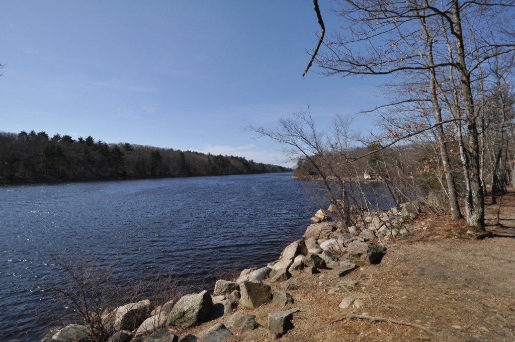


Peabody, Massachusetts
Peabody is a city of 54,695 people in Essex County, Massachusetts, founded in 1626.
Why visit Peabody
Townapedia lists 146 museums and landmarks, 137 parks and trails, 122 places to eat, 13 places to stay and 24 attractions in and around town.
Highlights include AMC, Beverly Depot, Capitol Diner and Lynn Woods Reservation.
July is the warmest month, with average highs of 82°F; January lows average 20°F.
Weather in Peabody
Forecast from the National Weather Service. Full forecast
About Peabody
Peabody () is a city in Essex County, Massachusetts, United States. The population was 54,481 at the time of the 2020 United States census. Peabody is located in the North Shore region of Massachusetts, and is known for its rich industrial history.
From the Wikipedia article Peabody, Massachusetts (this version), under CC BY-SA 4.0.
Things to do24


12 more on the map.
Museums and landmarks146

Beverly Depot
Monument and historic site · National Register of Historic Places · 4.3 mi
Railway station in Beverly, Massachusetts
Capitol Diner
Monument and historic site · National Register of Historic Places · 5.1 mi
Restaurant in Massachusetts, United States
Capt. William Green House
Monument and historic site · National Register of Historic Places · 4.9 mi
Building in Massachusetts, United States
Central Square Historic District
Monument and historic site · National Register of Historic Places · 5.0 mi
Historic district in Lynn, Massachusetts, United States
Charles Lovejoy House
Monument and historic site · National Register of Historic Places · 5.2 mi
Historic house in Massachusetts, United States
Daniel Sweetser House
Monument and historic site · National Register of Historic Places · 4.7 mi
Historic house in Massachusetts, United States
Diamond Historic District
Monument and historic site · National Register of Historic Places · 5.4 mi
Historic district in Lynn, Massachusetts
E. Boardman House
Monument and historic site · National Register of Historic Places · 5.4 mi
Building in Massachusetts, United States
Emerson-Franklin Poole House
Monument and historic site · National Register of Historic Places · 5.4 mi
Building in Massachusetts, United States
English High School
Monument and historic site · National Register of Historic Places · 4.8 mi
Historic building in Lynn, Massachusetts, USA
Exercise Conant House
Monument and historic site · National Register of Historic Places · 4.7 mi
Historic house in Massachusetts, United States
Fabens Building
Monument and historic site · National Register of Historic Places · 5.0 mi
Building in Massachusetts, United States
134 more on the map.
Parks, trails and playgrounds137
Lynn Woods Reservation
Hiking and trails · National Register of Historic Places · 3.2 mi
106 Pennybrook Road, Lynn
Mo-Su 06:00-18:00



James McVann-Louis O’Keefe Memorial Skating Rink
Sports field and stadium · 0.9 mi
511 Lowell Street, Peabody

Sydneys Pond Conservation Area
Hiking and trails · 2.0 mi
80 Granite Street, Peabody
Mo-Su 07:30-18:45
125 more on the map.
Restaurants and cafes122

Karl's Sausage Kitchen and European Market
Restaurant · German · 1.0 mi
Restaurant and Market selling German and other Central European goods.
1 Bourbon Street, Peabody
Mo-Sa 09:00-18:00
Amigo's Mexican Kitchen
Restaurant · Mexican · 1.4 mi
210 Andover Street, Peabody
Su-Th 11:00-21:00; Fr-Sa 11:00-22:00

Bill and Bob's Roast Beef
Diner · American · 2.1 mi
2 Central Street, Peabody
Mo-Th 10:00-02:00, Fr-Sa 10:00-02:30, Su 10:00-01:30

Breaking Grounds
Cafe · Coffee Shop, Sandwich, Pastry · 2.4 mi
67 Main Street, Peabody
Mo-Fr 07:00-14:00; Sa-Su 08:00-14:00
Caffè Nero
Cafe · Coffee Shop · 1.4 mi
210 Andover Street, Peabody
Mo-Th 07:30-20:00; Fr 07:30-21:00; Sa 08:00-21:00; Su 08:00-18:00
Honga
Restaurant · Chinese · 3.4 mi
6 Boston Street, Salem
Mo 12:00-21:00; We-Th 12:00-21:00; Fr-Sa 12:00-22:00; Su 12:00-21:00
King's Roast Beef
Restaurant · Pizza, Seafood, Sandwich · 3.3 mi
145 North Street, Salem
Mo-Su 11:00-21:30
110 more on the map.
History
The area was long inhabited by Native American people known as the Naumkeag.
The area was settled as part of Salem in 1626 by a small group of English colonists from Cape Ann led by Roger Conant. It was subsequently referred to as the Northfields, Salem Farms, and Brooksby. Several area residents were accused of witchcraft during the Salem witch trials of the late 17th century, three of whom were executed (John Proctor, Giles Corey, and Martha Corey).
In 1752, the area was set off from Salem, and incorporated as a district of Danvers. It was referred to as "the South Parish", associated with a church located in present-day Peabody Square. In 1855, the community broke away from Danvers, and was incorporated as the independent town of South Danvers. The name was changed to Peabody on April 30, 1868, in honor of George Peabody, noted philanthropist born in present-day Peabody, widely regarded as the "father of modern philanthropy". It was granted city status in 1916. The western, less densely populated area of town is often separately, yet unofficially, referred to as West Peabody.
From the History section of Peabody, Massachusetts on Wikipedia, under CC BY-SA 4.0.
Where to stay13
Plaza Motel Peabody Massachusetts
Motel and hotel · 1.1 mi
125 Newbury Street, Danvers
Churches and places of worship25
Shopping41
Gas and EV charging26
Schools, colleges and libraries95
Healthcare13
Beth Israel Lahey Health Care Center – Danvers
Clinic and pharmacy · 3.4 mi
480 Maple Street, Danvers
MassGeneral for Children at North Shore Medical Center
Clinic and pharmacy · 3.5 mi
57 Highland Avenue, Salem
Mass General/North Shore Center for Outpatient Care
Clinic and pharmacy · 2.1 mi
102-104 Endicott Street, Danvers
North Shore Medical Center
Clinic and pharmacy · 2.3 mi
1 Hutchinson Drive, Danvers
Passport Health Danvers Travel Clinic
Clinic and pharmacy · 1.5 mi
150A Andover St., Danvers
Map of Peabody
250 places. The map loads OpenStreetMap tiles when you open it.
Climate by month
Monthly table
| Month | High | Low | Rain |
|---|---|---|---|
| Jan | 36°F | 20°F | 3.1 in |
| Feb | 38°F | 21°F | 2.9 in |
| Mar | 45°F | 28°F | 4.2 in |
| Apr | 56°F | 37°F | 4.3 in |
| May | 66°F | 47°F | 3.4 in |
| Jun | 76°F | 56°F | 3.8 in |
| Jul | 82°F | 62°F | 3.5 in |
| Aug | 81°F | 61°F | 3.3 in |
| Sep | 73°F | 53°F | 3.6 in |
| Oct | 62°F | 42°F | 4.5 in |
| Nov | 51°F | 34°F | 4.0 in |
| Dec | 42°F | 26°F | 4.2 in |
U.S. Climate Normals 1991-2020 for Beverly Muni Ap (4 mi away), NOAA NCEI.
People and cost of living
American Community Survey 5-year estimates, 2020-2024, U.S. Census Bureau. Estimates have margins of error, larger for small towns.
Disaster history
Essex County has had 26 federal disaster declarations since 2000, most often for severe storms.
- 2023-09-15: Hurricane Lee (Hurricane)
- 2020-03-27: Covid-19 Pandemic (Biological)
- 2020-03-13: Covid-19 (Biological)
- 2018-07-19: Severe Winter Storm And Snowstorm (Snowstorm)
- 2018-06-25: Severe Winter Storm And Flooding (Severe Storm)
- 2015-04-13: Severe Winter Storm, Snowstorm, And Flooding (Severe Storm)
OpenFEMA disaster declarations summaries.
Getting there and nearby towns
Beverly Municipal Airport (BVY) is the nearest airport with scheduled flights listed in OpenStreetMap, 4 miles away.
- Danvers 3 mi north, about 5 min by car
- Lynnfield 4 mi west, about 6 min by car
- Lynn 4 mi south, about 7 min by car
- Beverly 6 mi east, about 10 min by car
- Marblehead 6 mi southeast, about 10 min by car
- Melrose 7 mi southwest, about 11 min by car
- Malden 9 mi southwest, about 14 min by car
- Everett 10 mi southwest, about 16 min by car
- Chelsea 10 mi south, about 16 min by car
- Medford 10 mi southwest, about 17 min by car
Drive times are estimates from straight-line distance, not routes.
Local news
Headlines from INDB, the NEMICO news database.
Reviews, tips and questions
Loading what members have shared...
Sources and licences
- NCES EDGE (Public domain): public schools
- NOAA NCEI U.S. Climate Normals 1991-2020 (Public domain): climate by month
- OpenFEMA (Public domain): disaster declarations
- OpenStreetMap contributors (ODbL 1.0): places, airports, map data
- U.S. Census Bureau (Public domain): population, income, housing, education, commute
- Wikidata (CC0 1.0): elevation, founding date, time zone, website, landmarks and historic places
- Wikimedia Commons (see each image): photos
- Wikipedia (CC BY-SA 4.0): overview and history text
Photo credits
- LynnWoods WaldenPond, User:Magicpiano, CC BY-SA 4.0
- Peabody Central Fire Station, MA, John Phelan, CC BY 3.0
- James Putnam Jr. House, Fletcher6, CC BY-SA 3.0
- DanversMA FoxHillSchool, User:Magicpiano, CC BY-SA 4.0
Page built October 30, 2026. Spotted a mistake? Tell us or suggest a place.