
Why visit Agdangan
Townapedia lists 3 places to eat, 1 place to stay and 1 attraction in and around town.
Weather in Agdangan
Forecast from MET Norway (CC BY 4.0). Full forecast
About Agdangan
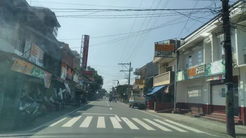
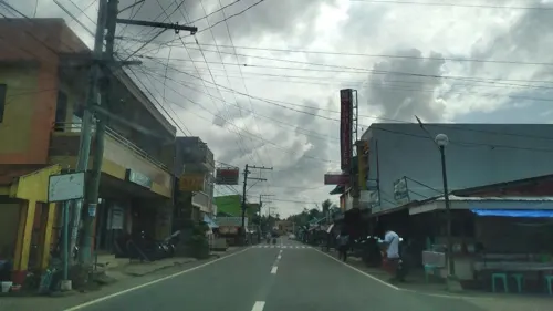
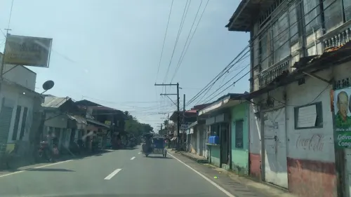
Agdangan, officially the Municipality of Agdangan (Tagalog: Bayan ng Agdangan), is a municipality in the province of Quezon, Philippines. According to the 2024 census, it has a population of 13,316 people.
From the Wikipedia article Agdangan (this version), under CC BY-SA 4.0.
Things to do1

Restaurants and cafes3
Where to stay1
Churches and places of worship4

History
In the 18th and 19th centuries, during the Spanish Colonial era, Atimonan was suffering from frequent attacks by pirates and outlaws. A man named Mariano Aguilar thought of moving to a safer place to live and dwell with his family. He asked a friend and distant relative, Juan Salvador to help him find a nearby peaceful place to settle. Along with their immediate families, they walked through the forest south-west bound until they found a clean river. While traversing the riverside, they found a scenic body of water which was best described as ladder-like as the waters run over ladder-like steps.
They initially named the place Hagdan-hagdan (ladder-like structure). This majestic scenery nowadays is a local tourist attraction that can be found in Barangay Dayap. As they moved further west, they found a huge, serene and attractive flat land area where they later established the town proper. In this land, they built houses for their families and divided the land area between their family members, relatives and friends. The population in this newly discovered area had increased dramatically and before the end of the 19th century.
From the History section of Agdangan on Wikipedia, under CC BY-SA 4.0.
Gas and EV charging2
Schools, colleges and libraries14
Healthcare4
Map of Agdangan
29 places. The map loads OpenStreetMap tiles when you open it.
Getting there and nearby towns
Marinduque Airport (MRQ) is the nearest airport with scheduled flights listed in OpenStreetMap, 58 km away.
- Unisan 8 km southeast, about 8 min by car
- Padre Burgos 12 km northwest, about 12 min by car
- Atimonan 14 km north, about 14 min by car
- Gumaca 21 km east, about 21 min by car
- Pagbilao 25 km northwest, about 25 min by car
- Macalelon 28 km southeast, about 28 min by car
- Lucena 32 km west, about 32 min by car
- Lopez 38 km east, about 38 min by car
- Tayabas 38 km northwest, about 38 min by car
- Calauag 41 km east, about 41 min by car
Drive times are estimates from straight-line distance, not routes.
Local news
Headlines from INDB.
Reviews, tips and questions
Loading what members have shared...
Sources and licences
- GeoNames (CC BY 4.0): population, coordinates, regions and time zone
- Mapillary (see each image): photos
- OpenStreetMap contributors (ODbL 1.0): places, airports, map data
- Wikidata (CC0 1.0): elevation, founding date, time zone, website, landmarks and historic places
- Wikipedia (CC BY-SA 4.0): overview and history text
Photo credits
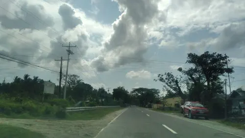
- Street-level photo, nickrds09, CC BY-SA 4.0
- Street-level photo, nickrds09, CC BY-SA 4.0
- Street-level photo, nickrds09, CC BY-SA 4.0
- Street-level photo, nickrds09, CC BY-SA 4.0
- Street-level photo, nickrds09, CC BY-SA 4.0
- Street-level photo, nickrds09, CC BY-SA 4.0
- Street-level photo, nickrds09, CC BY-SA 4.0
Page built November 8, 2026. Spotted a mistake? Tell us or suggest a place.