


Why visit Alegria
Townapedia lists 2 places to eat and 3 attractions in and around town.
Weather in Alegria
Forecast from MET Norway (CC BY 4.0). Full forecast
About Alegria
Alegria, officially the Municipality of Alegria (Surigaonon: Lungsod nan Alegria; Cebuano: Lungsod sa Alegria; Tagalog: Bayan ng Alegria), is a municipality in the province of Surigao del Norte, Philippines. According to the 2024 census, it has a population of 17,846 people.
From the Wikipedia article Alegria, Surigao del Norte (this version), under CC BY-SA 4.0.
Things to do3
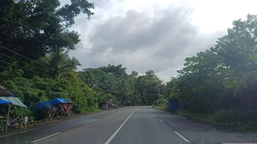


Restaurants and cafes2
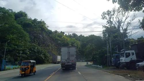
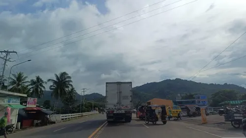
Churches and places of worship5
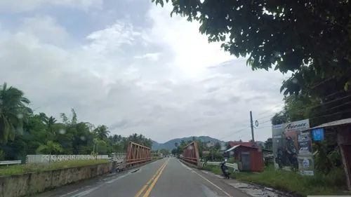

Gas and EV charging2


History
Alegria was created by Republic Act No. 5239. It was originally the sitio of Anahaw founded by immigrants from the municipality of Bacuag. Sitio Anahaw was situated near Lake Mainit, and would often be flooded due to heavy rains. During rainy seasons, the local families transferred to a place now called Alegria.
The name Alegria was derived from the Spanish word which means "lively". Its name was given by Judge Sixto Olga who happened to spend a night in the place. The people offered him a party dance. Because their affair was lively he told the people to change the name Anahaw to Alegria.
Alegria became a barrio in 1927. It was formerly one of the biggest barrios in the municipality of Mainit. The municipality extends from the boundary of Kitcharao, Agusan del Norte, to Pungtod and Dayano that is the boundary of the mother municipality of Mainit.
From the History section of Alegria, Surigao del Norte on Wikipedia, under CC BY-SA 4.0.
Schools, colleges and libraries22
Healthcare1
Map of Alegria
35 places. The map loads OpenStreetMap tiles when you open it.
Getting there and nearby towns
Surigao Airport (SUG) is the nearest airport with scheduled flights listed in OpenStreetMap, 34 km away.
- Mainit 10 km northwest, about 10 min by car
- Tubay 34 km south, about 34 min by car
- Cabadbaran 39 km south, about 39 min by car
- Carrascal 42 km east, about 42 min by car
- Cantilan 46 km east, about 46 min by car
- Madrid 48 km southeast, about 48 min by car
- Magallanes 50 km south, about 50 min by car
- Butuan 58 km south, about 58 min by car
- Buenavista 58 km south, about 58 min by car
- Bayugan 82 km south, about 1 h 15 min by car
Drive times are estimates from straight-line distance, not routes.
Local news
Headlines from INDB.
Reviews, tips and questions
Loading what members have shared...
Sources and licences
- GeoNames (CC BY 4.0): population, coordinates, regions and time zone
- Mapillary (see each image): photos
- OpenStreetMap contributors (ODbL 1.0): places, airports, map data
- Wikidata (CC0 1.0): elevation, founding date, time zone, website
- Wikimedia Commons (see each image): photos
- Wikipedia (CC BY-SA 4.0): overview and history text
Photo credits
- UCCP Alipao - panoramio, kbraner, CC BY-SA 3.0
- ISS055-E-46167 - View of Earth, Earth Science and Remote Sensing Unit, NASA Johnson Space Center, Public domain
- ISS055-E-46166 - View of Earth, Earth Science and Remote Sensing Unit, NASA Johnson Space Center, Public domain
- When Ice meets Fire, Menkent Barcelon, CC BY-SA 4.0
- Street-level photo, dp24ph, CC BY-SA 4.0
- Street-level photo, dp24ph, CC BY-SA 4.0
- Street-level photo, dp24ph, CC BY-SA 4.0
- Street-level photo, dp24ph, CC BY-SA 4.0
- Street-level photo, dp24ph, CC BY-SA 4.0
- Street-level photo, dp24ph, CC BY-SA 4.0
- Street-level photo, dp24ph, CC BY-SA 4.0
- Street-level photo, dp24ph, CC BY-SA 4.0
- Street-level photo, dp24ph, CC BY-SA 4.0
Page built November 8, 2026. Spotted a mistake? Tell us or suggest a place.