


Enrique Villanueva, Philippines
Enrique Villanueva is a town of 6,104 people in Central Visayas, Philippines, founded in April 1924.
Why visit Enrique Villanueva
Townapedia lists 2 museums and landmarks, 2 places to eat and 2 attractions in and around town.
Highlights include Minarcahan Point Lighthouse.
Weather in Enrique Villanueva
Forecast from MET Norway (CC BY 4.0). Full forecast
About Enrique Villanueva
Enrique Villanueva, officially the Municipality of Enrique Villanueva (Cebuano: Lungsod sa Enrique Villanueva; Tagalog: Bayan ng Enrique Villanueva, Known Locally as Talingting), is a municipality in the province of Siquijor, Philippines. According to the 2024 census, it has a population of 6,965 people.
From the Wikipedia article Enrique Villanueva (this version), under CC BY-SA 4.0.
Things to do2


Museums and landmarks2
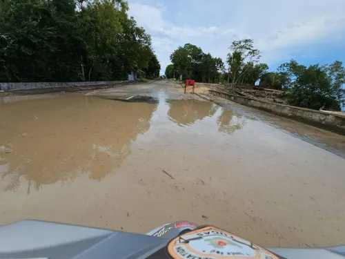
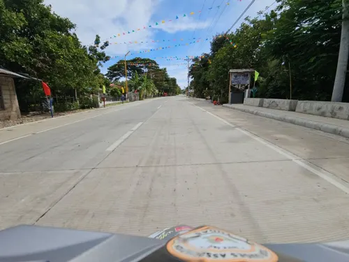
Island Seashell Museum & Souvenir Shop
Museum · 4.6 km
Siquijor Circumferential Road, Larena
Restaurants and cafes2

Churches and places of worship22
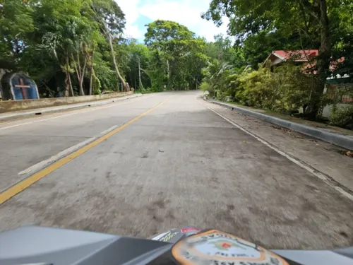
Our Lady of Mount Carmel Church
Church · Roman Catholic
Area=825sqm
Casiano Aque Street
San Vicente Chapel
Church · Roman Catholic · 3.0 km
Siquijor Circumferential Road

Seventh day Adventist Church
Church · Seventh Day Adventist
Alfredo Orquillas Street, Enrique Villanueva



10 more on the map.
Shopping1
Schools, colleges and libraries8
Bitaug Elementary School
School · 3.5 km
Siquijor Circumferential Road, Enrique Villanueva
Enrique Villanueva Central Elementary School
School · 0.9 km
Siquijor Circumferential Road, Enrique Villanueva
Enrique Villanueva National High School
School · 0.8 km
Siquijor Circumferential Road, Enrique Villanueva
Healthcare1
Map of Enrique Villanueva
38 places. The map loads OpenStreetMap tiles when you open it.
Getting there and nearby towns
Bohol-Panglao International Airport (TAG) is the nearest airport with scheduled flights listed in OpenStreetMap, 36 km away.
- Siquijor 16 km southwest, about 16 min by car
- Lazi 16 km south, about 16 min by car
- Panglao 35 km north, about 35 min by car
- Oslob 36 km northwest, about 36 min by car
- Dumaguete 37 km west, about 37 min by car
- Sibulan 41 km west, about 41 min by car
- Dauin 43 km west, about 43 min by car
- Boljoon 43 km northwest, about 43 min by car
- Dauis 46 km northeast, about 46 min by car
- Tagbilaran City 48 km northeast, about 48 min by car
Drive times are estimates from straight-line distance, not routes.
Local news
Headlines from INDB.
Reviews, tips and questions
Loading what members have shared...
Sources and licences
- GeoNames (CC BY 4.0): population, coordinates, regions and time zone
- Mapillary (see each image): photos
- OpenStreetMap contributors (ODbL 1.0): places, airports, map data
- Wikidata (CC0 1.0): elevation, founding date, time zone, website, landmarks and historic places
- Wikimedia Commons (see each image): photos
- Wikipedia (CC BY-SA 4.0): overview and history text
Photo credits
- Enrique Villanueva 01, Lawrence Ruiz, CC BY-SA 4.0
- Cang-isok Historic House in Siquijor, Aries Manuel, CC BY-SA 4.0
- Street-level photo, Jongkiko, CC BY-SA 4.0
- Street-level photo, Jongkiko, CC BY-SA 4.0
- Street-level photo, Jongkiko, CC BY-SA 4.0
- Street-level photo, Jongkiko, CC BY-SA 4.0
- Street-level photo, Jongkiko, CC BY-SA 4.0
- Street-level photo, Jongkiko, CC BY-SA 4.0
- Street-level photo, Jongkiko, CC BY-SA 4.0
- Street-level photo, Jongkiko, CC BY-SA 4.0
- Street-level photo, Jongkiko, CC BY-SA 4.0
- Street-level photo, kinleah, CC BY-SA 4.0
Page built November 7, 2026. Spotted a mistake? Tell us or suggest a place.