


General Luna, Philippines
General Luna is a town of 9,177 people in Calabarzon, Philippines, founded in November 29, 1929.
Why visit General Luna
Townapedia lists 1 museum or landmark and 3 places to eat in and around town.
Weather in General Luna
Forecast from MET Norway (CC BY 4.0). Full forecast
About General Luna
General Luna, officially the Municipality of General Luna (Tagalog: Bayan ng Heneral Luna), is a municipality in the province of Quezon, Philippines. According to the 2024 census, it has a population of 25,110 people.
From the Wikipedia article General Luna, Quezon (this version), under CC BY-SA 4.0.
Museums and landmarks1
Restaurants and cafes3

Churches and places of worship8

Iglesia ni Cristo - Lokal ng Macalelon
Church · Iglesia Ni Cristo · 7.7 km
Peñalosa Street
Immaculate Concepcion Parish Church
Church · Roman Catholic · 7.6 km
R. Pajarillo Street
Shopping2



History
General Luna is originally a sitio of Macalelon, known as Hingoso. Hingoso's name is derived from local folklore, where it is said that early coastal inhabitants would say “Hinging Suso”, a Tagalog phrase, before gathering edible shells called "suso" to prevent misfortune, and another tale attributes the name to a misunderstanding between a local carrier of "suso" and Spaniards, who later named the place as Hingoso.
The mountainous region of Hingoso was once home to Aeta families, some of whom later settled in the lowlands as the first settlers. Before Spanish colonization, Visayan families from Simara Island, Romblon, were the first migrants, followed by kaingeros, loggers, and settlers from the Visayas, Bicol, and Marinduque, attracted by Hingoso’s vast forests.
In 1929, seven residents of Hingoso met with Tayabas Governor Leon Guinto to ask for the secession of Hingoso from Macalelon. Finally, on November 1, 1929, Governor-General Dwight F. Davis issued Executive Order No. 207, creating the municipality of General Luna. The town initially composed of two barangays—Basyao and Kalanggan—out of the eleven sitios of Hingoso.
From the History section of General Luna, Quezon on Wikipedia, under CC BY-SA 4.0.
Gas and EV charging8
Schools, colleges and libraries28
General Luna Central Elementary School
School · Roman Catholic
Perez Street, General Luna
Map of General Luna
50 places. The map loads OpenStreetMap tiles when you open it.
Getting there and nearby towns
Marinduque Airport (MRQ) is the nearest airport with scheduled flights listed in OpenStreetMap, 52 km away.
- Macalelon 8 km northwest, about 8 min by car
- Catanauan 19 km southeast, about 19 min by car
- Lopez 24 km northeast, about 24 min by car
- Gumaca 27 km north, about 27 min by car
- Unisan 27 km northwest, about 27 min by car
- Mulanay 31 km southeast, about 31 min by car
- Calauag 33 km northeast, about 33 min by car
- Atimonan 44 km northwest, about 44 min by car
- Padre Burgos 47 km northwest, about 47 min by car
- Pagbilao 60 km northwest, about 1 h by car
Drive times are estimates from straight-line distance, not routes.
Local news
Headlines from INDB.
Reviews, tips and questions
Loading what members have shared...
Sources and licences
- GeoNames (CC BY 4.0): population, coordinates, regions and time zone
- Mapillary (see each image): photos
- OpenStreetMap contributors (ODbL 1.0): places, airports, map data
- Wikidata (CC0 1.0): elevation, founding date, time zone, website, landmarks and historic places
- Wikimedia Commons (see each image): photos
- Wikipedia (CC BY-SA 4.0): overview and history text
Photo credits
- General Luna Port, Totoyba2, CC BY-SA 4.0
- ISS066-E-63486 - View of Earth, Earth Science and Remote Sensing Unit , Lyndon B. Johnson Space Center, Public domain
- ISS066-E-63485 - View of Earth, Earth Science and Remote Sensing Unit , Lyndon B. Johnson Space Center, Public domain
- ISS038-E-857 - View of the Philippines, Earth Science and Remote Sensing Unit , Lyndon B. Johnson Space Center, Public domain
- ISS038-E-1034 - View of the Philippines, Earth Science and Remote Sensing Unit , Lyndon B. Johnson Space Center, Public domain
- Street of Macalelon (55270728821), Aaron Lucas, CC BY-SA 4.0
- Macalelon Church (55267173220), Aaron Lucas, CC BY-SA 4.0
- Sunset at Catanauan, Quezon 20210507, Ian Lopez ( Ianlopez1115 ), CC0
- ISS055-E-107760 - View of Earth, Earth Science and Remote Sensing Unit, NASA Johnson Space Center, Public domain
- ISS055-E-107761 - View of Earth, Earth Science and Remote Sensing Unit, NASA Johnson Space Center, Public domain
- ISS055-E-107759 - View of Earth, Earth Science and Remote Sensing Unit, NASA Johnson Space Center, Public domain
- ISS038-E-856 - View of the Philippines, Earth Science and Remote Sensing Unit , Lyndon B. Johnson Space Center, Public domain
- ISS038-E-1033 - View of the Philippines, Earth Science and Remote Sensing Unit , Lyndon B. Johnson Space Center, Public domain
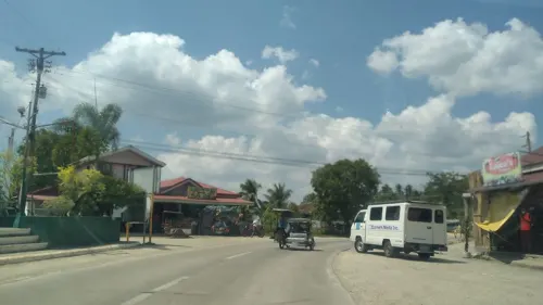
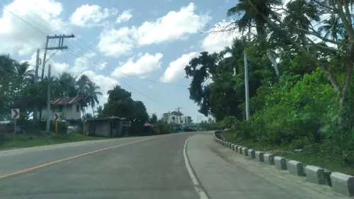
- Street-level photo, nickrds09, CC BY-SA 4.0
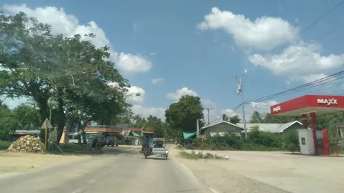
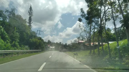
- Street-level photo, nickrds09, CC BY-SA 4.0
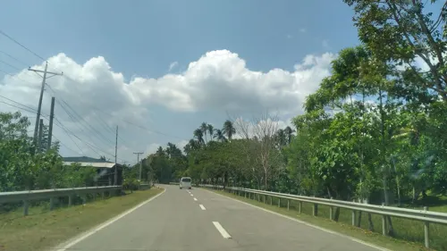
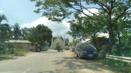
- Street-level photo, nickrds09, CC BY-SA 4.0
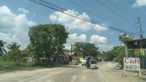
- Street-level photo, nickrds09, CC BY-SA 4.0
- Street-level photo, nickrds09, CC BY-SA 4.0
- Street-level photo, nickrds09, CC BY-SA 4.0
- Street-level photo, nickrds09, CC BY-SA 4.0
- Street-level photo, nickrds09, CC BY-SA 4.0
- Street-level photo, nickrds09, CC BY-SA 4.0
- Street-level photo, nickrds09, CC BY-SA 4.0
- Street-level photo, nickrds09, CC BY-SA 4.0
- Street-level photo, nickrds09, CC BY-SA 4.0
- Street-level photo, nickrds09, CC BY-SA 4.0
- Street-level photo, nickrds09, CC BY-SA 4.0


Page built November 8, 2026. Spotted a mistake? Tell us or suggest a place.