


Why visit La Paz
Townapedia lists 1 museum or landmark, 2 parks and trails, 3 places to eat and 1 place to stay in and around town.
Weather in La Paz
Forecast from MET Norway (CC BY 4.0). Full forecast
About La Paz
La Paz (IPA: [lɐ 'pas]), officially the Municipality of La Paz (Waray: Bungto han La Paz; Tagalog: Bayan ng La Paz), is a municipality in the province of Leyte, Philippines. According to the 2024 census, it has a population of 19,797 people.
From the Wikipedia article La Paz, Leyte (this version), under CC BY-SA 4.0.
Museums and landmarks1

Parks, trails and playgrounds2

Restaurants and cafes3


Where to stay1

History
In the 1870s, a sitio was formed, and a chapel was built there before 1886. The chapel was called "rosaryohan." Spanish missionaries visited this place to teach the natives the doctrine. However, the people had to go to Dulag for the Holy Week and days of obligation in order to attend mass.
Until then, the sitio was named Cabadyangan. When the question of official name came up, the people unanimously selected the name "La Paz", in honor of their patroness, Nuestra Señora De La Paz y Buen Viaje (Our Lady of Peace and Good Voyage).
The first hermano mayor was Victoriano Relano in 1908 when the first celebration of the fiesta in honor of the "Nuestra Señora de la Paz y Buen Viaje" was held.
In 1903, La Paz was made a barrio of Burauen. Capitan Estefanio de Paz was the first teniente del barrio. Three leaders went to Manila to petition to the central government to raise La Paz to the status of a municipality. Don Nicasio Martinez Vivero a Man from Tolosa, Leyte and a Educator in La Paz on that time was one of the Three leaders. With the help of provincial leaders, La Paz was declared a fourth class town in 1918. After the Township Declaration, Lapaznons gathered their First Elections, and they Elect Nicasio Vivero as the First Municipal President (Mayor) of La Paz.
From the History section of La Paz, Leyte on Wikipedia, under CC BY-SA 4.0.
Churches and places of worship3
Our Lady of Peace and Good Voyage Parish Church
Church · Roman Catholic
Nuestra Señora de la Paz Street
Shopping1
Gas and EV charging3
Schools, colleges and libraries67
Jacinta Vivero Memorial Primary School
School · 1.6 km
La Paz-Burauen Road, La Paz
Map of La Paz
81 places. The map loads OpenStreetMap tiles when you open it.
Getting there and nearby towns
Daniel Z. Romualdez Airport (TAC) is the nearest airport with scheduled flights listed in OpenStreetMap, 38 km away.
- Burauen 12 km northwest, about 12 min by car
- Dulag 11 km northeast, about 11 min by car
- Tanauan 25 km north, about 25 min by car
- Baybay 29 km southwest, about 29 min by car
- Palo 30 km north, about 30 min by car
- Pawing 32 km north, about 32 min by car
- Tacloban 39 km north, about 39 min by car
- Ormoc 40 km west, about 40 min by car
- Inopacan 50 km southwest, about 50 min by car
- Carigara 54 km northwest, about 54 min by car
Drive times are estimates from straight-line distance, not routes.
Local news
Headlines from INDB.
Reviews, tips and questions
Loading what members have shared...
Sources and licences
- GeoNames (CC BY 4.0): population, coordinates, regions and time zone
- Mapillary (see each image): photos
- OpenStreetMap contributors (ODbL 1.0): places, airports, map data
- Wikidata (CC0 1.0): elevation, founding date, time zone, website
- Wikimedia Commons (see each image): photos
- Wikipedia (CC BY-SA 4.0): overview and history text
Photo credits
- Mayorga unknown riverside and beach - panoramio - Gonchang (1), Gonchang, CC BY 3.0
- Mayorga unknown riverside and beach - panoramio, Gonchang, CC BY 3.0
- Mayorga unknown riverside and beach - panoramio - Gonchang, Gonchang, CC BY 3.0
- Mayorga beach left - panoramio, Gonchang, CC BY 3.0
- Mayorga beach - panoramio, Gonchang, CC BY 3.0
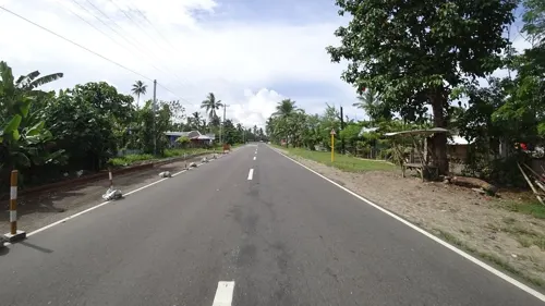
- Street-level photo, giblet, CC BY-SA 4.0
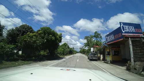
- Street-level photo, danbjoseph, CC BY-SA 4.0
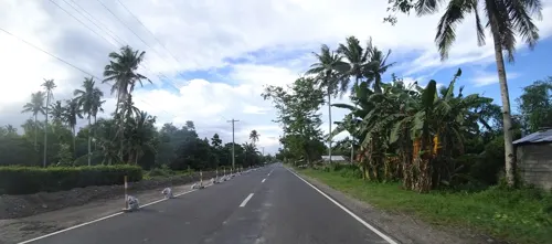
- Street-level photo, danbjoseph, CC BY-SA 4.0
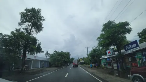
- Street-level photo, danbjoseph, CC BY-SA 4.0
- Street-level photo, danbjoseph, CC BY-SA 4.0
- Street-level photo, danbjoseph, CC BY-SA 4.0
- Street-level photo, danbjoseph, CC BY-SA 4.0
- Street-level photo, danbjoseph, CC BY-SA 4.0
Page built November 7, 2026. Spotted a mistake? Tell us or suggest a place.