


Why visit Pawing
Townapedia lists 17 museums and landmarks, 11 parks and trails, 45 places to eat, 9 places to stay and 3 attractions in and around town.
Highlights include Leyte Landing, Paglunsad sa Leyte, MacArthur Landing Memorial National Park and MacArthur Park.
Weather in Pawing
Forecast from MET Norway (CC BY 4.0). Full forecast
About Pawing
Palo, officially the Municipality of Palo, is a municipality and the seat of government of the province of Leyte. According to the 2024 census, it has a population of 80,291 people, making it the most populous municipality in the province.
From the Wikipedia article Palo, Leyte (this version), under CC BY-SA 4.0.
Things to do3

Museums and landmarks17



5 more on the map.
Parks, trails and playgrounds11

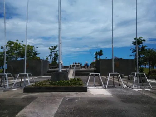
MacArthur Landing Memorial National Park
Park · 1.3 km
National park in the Philippines



Restaurants and cafes45


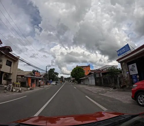
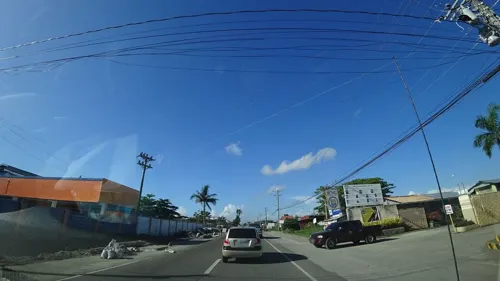


33 more on the map.
History
The first settlers of Palo were the tribes Panganuron, Kadampog, Manlangit, Kamagung, Kawaring, Kabalhin, Kumagang Maglain, Bilyo and Dilyo. They lived peacefully in an area resembling the shape of a bridge in what is now Barrio Bunga (present-day San Joaquin), which spanned an area on both sides of the river bearing the same name. As the population increased, tribal feuds would cause the people to disperse. Survivors would settle in Payapay, and others in Canpetik. The bulk went to Kutay. Those in Kutay would eventually establish the town of Palo.
From the History section of Palo, Leyte on Wikipedia, under CC BY-SA 4.0.
Where to stay9
Churches and places of worship14
Our Lady of the Most Holy Rosary Parish
Church · Roman Catholic
National Highway, Palo
Iglesia ni Kristo - Lokal ng Palo
Church · Iglesia Ni Cristo · 1.4 km
Maharlika Highway
St. Roch the Healer Parish
Church · Roman Catholic · 1.9 km
Manlurip Road, Tacloban City
The Church of Jesus Christ of Latter-day Saints
Church · Mormon · 1.5 km
Maharlika Highway
Shopping9
Gas and EV charging8
Schools, colleges and libraries18
Philippine Science High School Eastern Visayas Campus
School
Tacloban - Palo Road
Healthcare10
Accu-right Medical and Diagnostic Center
Clinic and pharmacy · 2.4 km
Don Pio Pedrosa Avenue, Palo
Map of Pawing
144 places. The map loads OpenStreetMap tiles when you open it.
Getting there and nearby towns
Daniel Z. Romualdez Airport (TAC) is the nearest airport with scheduled flights listed in OpenStreetMap, 6 km away.
- Palo 3 km southwest, about 3 min by car
- Tacloban 7 km north, about 7 min by car
- Tanauan 8 km south, about 8 min by car
- Burauen 26 km southwest, about 26 min by car
- Dulag 25 km south, about 25 min by car
- Santa Rita 31 km north, about 31 min by car
- Carigara 38 km west, about 38 min by car
- Ormoc 47 km southwest, about 47 min by car
- Baybay 60 km south, about 1 h by car
- Catbalogan 67 km north, about 1 h by car
Drive times are estimates from straight-line distance, not routes.
Local news
Headlines from INDB.
Reviews, tips and questions
Loading what members have shared...
Sources and licences
- GeoNames (CC BY 4.0): population, coordinates, regions and time zone
- Mapillary (see each image): photos
- OpenStreetMap contributors (ODbL 1.0): places, airports, map data
- Wikidata (CC0 1.0): elevation, founding date, time zone, website, landmarks and historic places
- Wikimedia Commons (see each image): photos
- Wikipedia (CC BY-SA 4.0): overview and history text
Photo credits
- Palo Cathedral 01, Jojit Ballesteros, CC BY 4.0
- Leyte Landing NHI historical marker, Leocvlauzon, CC BY-SA 4.0
- PSHS Football Field, Wpolido, CC BY-SA 3.0
- Stairs of Guinhangdan Hill, Junelbenitez, CC BY-SA 4.0
- The Cross of Guinhangdan Hill, Junelbenitez, CC BY-SA 4.0
- Gen. Douglas MacArthur Landing Monument 02, Orlydlsantos, CC BY-SA 3.0
- Street-level photo, danbjoseph, CC BY-SA 4.0
- Street-level photo, jay_ragub, CC BY-SA 4.0
- Street-level photo, danbjoseph, CC BY-SA 4.0
- Street-level photo, danbjoseph, CC BY-SA 4.0
- Street-level photo, danbjoseph, CC BY-SA 4.0
- Street-level photo, danbjoseph, CC BY-SA 4.0
- Street-level photo, danbjoseph, CC BY-SA 4.0
- Street-level photo, danbjoseph, CC BY-SA 4.0
- Street-level photo, danbjoseph, CC BY-SA 4.0
- Street-level photo, danbjoseph, CC BY-SA 4.0
- Street-level photo, danbjoseph, CC BY-SA 4.0
- Street-level photo, Yoanna_Cabacaba, CC BY-SA 4.0
- Street-level photo, danbjoseph, CC BY-SA 4.0
- Street-level photo, danbjoseph, CC BY-SA 4.0
- Street-level photo, danbjoseph, CC BY-SA 4.0
- Street-level photo, Yoanna_Cabacaba, CC BY-SA 4.0
- Street-level photo, danbjoseph, CC BY-SA 4.0
- Street-level photo, danbjoseph, CC BY-SA 4.0
- Street-level photo, danbjoseph, CC BY-SA 4.0
- Street-level photo, Yoanna_Cabacaba, CC BY-SA 4.0
- Street-level photo, danbjoseph, CC BY-SA 4.0
- Street-level photo, Yoanna_Cabacaba, CC BY-SA 4.0
- Street-level photo, danbjoseph, CC BY-SA 4.0
Page built November 7, 2026. Spotted a mistake? Tell us or suggest a place.