


Malicboy, Philippines
Silangan Malicboy
Malicboy is a town of 6,224 people in Calabarzon, Philippines.
Loading the weather...
Population6,224
GeoNames
Local nameSilangan Malicboy
RegionCalabarzon
Elevation12 m
39 ft
Time zoneAsia/Manila
Nearest airportBalesin Airstrip (BSI)
56 km
Why visit Malicboy
Townapedia lists 2 places to eat in and around town.
Weather in Malicboy
Forecast from MET Norway (CC BY 4.0). Full forecast
Restaurants and cafes2
Churches and places of worship2
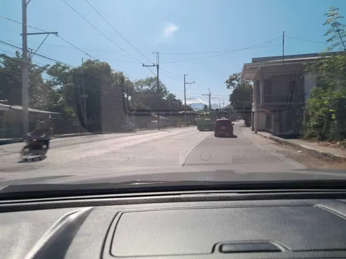
Saint Anne Parish and Diocesan Shrine
Church · Roman Catholic
Maharlika Highway
Shopping1
Advertisement
Gas and EV charging3


Schools, colleges and libraries3
Map of Malicboy
11 places. The map loads OpenStreetMap tiles when you open it.
Getting there and nearby towns
Balesin Airstrip (BSI) is the nearest airport with scheduled flights listed in OpenStreetMap, 56 km away.
- Padre Burgos 7 km south, about 7 min by car
- Pagbilao 10 km west, about 10 min by car
- Atimonan 14 km east, about 14 min by car
- Lucena 19 km west, about 19 min by car
- Tayabas 22 km west, about 22 min by car
- Unisan 25 km southeast, about 25 min by car
- Sariaya 28 km west, about 28 min by car
- Lucban 29 km northwest, about 29 min by car
- Gumaca 34 km east, about 34 min by car
- Candelaria 40 km west, about 40 min by car
Drive times are estimates from straight-line distance, not routes.
Local news
Headlines from INDB.
Reviews, tips and questions
Loading what members have shared...
Sources and licences
- GeoNames (CC BY 4.0): population, coordinates, regions and time zone
- Mapillary (see each image): photos
- OpenStreetMap contributors (ODbL 1.0): places, airports, map data
- Wikidata (CC0 1.0): elevation, founding date, time zone, website
- Wikimedia Commons (see each image): photos
Photo credits
- Pan-Philippine Highway–N610 highway junction, Engr. Smitty, CC BY-SA 4.0
- Three Philippine long-tailed macaques(Macaca fascicularis philippensis), Micluna, CC BY-SA 4.0
- Three Philippine long-tailed macaques (Macaca fascicularis philippensis), Micluna, CC BY-SA 4.0
- Philippine long-tailed macaque (Macaca fascicularis philippensis), Micluna, CC BY-SA 4.0
- Philippine long-tailed macaque (Macaca fascicularis philippensis). Quezon Protected Landscape, Micluna, CC BY-SA 4.0
- The macaque pauses to eat a piece of bread, Micluna, CC BY-SA 4.0
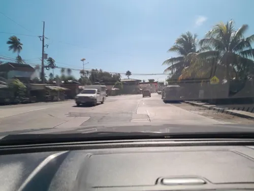
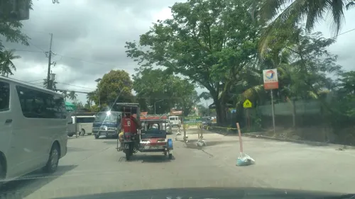
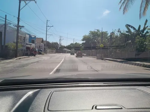
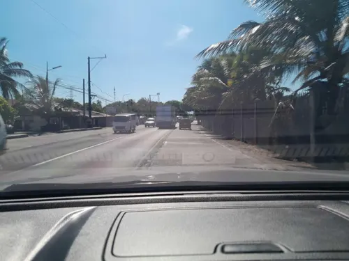
- Street-level photo, ericb1983, CC BY-SA 4.0
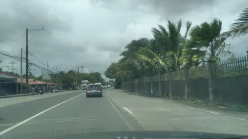
- Street-level photo, ericb1983, CC BY-SA 4.0
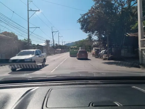
- Street-level photo, ericb1983, CC BY-SA 4.0
- Street-level photo, nickrds09, CC BY-SA 4.0
- Street-level photo, ericb1983, CC BY-SA 4.0
- Street-level photo, ericb1983, CC BY-SA 4.0
- Street-level photo, nickrds09, CC BY-SA 4.0
- Street-level photo, ericb1983, CC BY-SA 4.0
Page built November 7, 2026. Spotted a mistake? Tell us or suggest a place.