


Pamplona, Philippines
Pamplona is a town of 4,884 people in Bicol Region, Philippines, founded in May 5, 1885.
Why visit Pamplona
Townapedia lists 1 museum or landmark, 2 parks and trails, 20 places to eat and 1 place to stay in and around town.
Highlights include Camaligan River Park.
Weather in Pamplona
Forecast from MET Norway (CC BY 4.0). Full forecast
About Pamplona
Pamplona, officially the Municipality of Pamplona (Central Bikol: Banwaan kan Pamplona; Tagalog: Bayan ng Pamplona), is a municipality in the province of Camarines Sur, Philippines. According to the 2024 census, it has a population of 38,556 people.
From the Wikipedia article Pamplona, Camarines Sur (this version), under CC BY-SA 4.0.
Travel tips from other travellers: Pamplona on Wikivoyage (CC BY-SA 4.0).
Museums and landmarks1
Parks, trails and playgrounds2

Camaligan River Park
Park · 9.9 km
Linear park in Camaligan, Philippines
Restaurants and cafes20
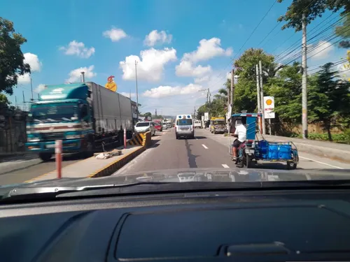
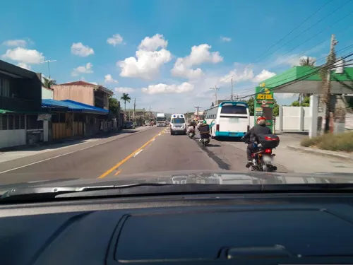
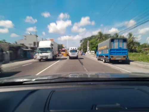
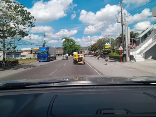
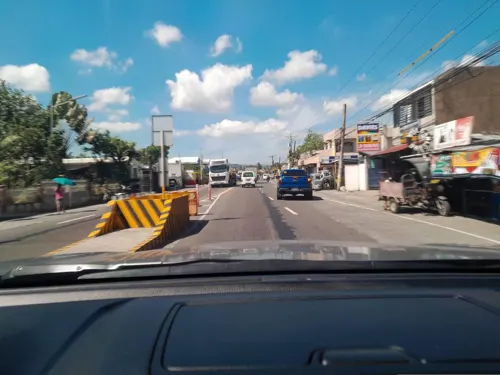

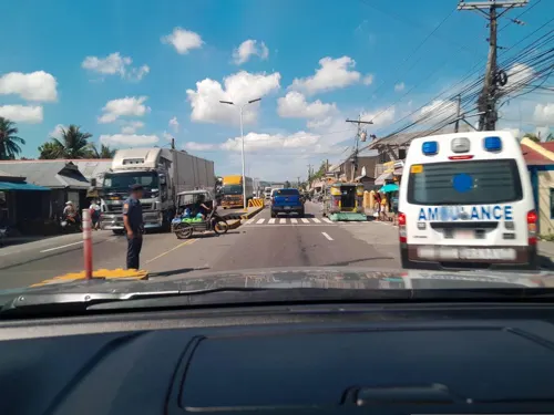
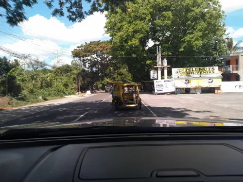
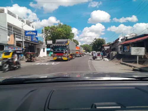


8 more on the map.
Where to stay1

History
The beginnings of this town can be traced back from the date it was made a visita of Milaor. The town of Pamplona was founded on May 8, 1817. It first started as a settlement west of the Bicol River, then it grew to become a Sitio called Patong. The name was changed to Pamplona by a retired Spanish military officer who resided in the place and named it after his native city in Spain - Pamplona, capital of the province of Navarre.
Pamplona officially became a parish on May 8, 1885, which coincided with the date of the town's celebration honoring their patron saint, Saint Michael the Archangel.
From the History section of Pamplona, Camarines Sur on Wikipedia, under CC BY-SA 4.0.
Churches and places of worship9
Gas and EV charging10
Schools, colleges and libraries67
Sunrise Institute of Learning Inc.
School · 7.5 km
Maharlika Highway, San Fernando
Healthcare4
Map of Pamplona
114 places. The map loads OpenStreetMap tiles when you open it.
Getting there and nearby towns
Naga Airport (WNP) is the nearest airport with scheduled flights listed in OpenStreetMap, 20 km away.
- Gainza 7 km northeast, about 7 min by car
- San Fernando 7 km southeast, about 7 min by car
- Naga 11 km east, about 11 min by car
- Magarao 14 km northeast, about 14 min by car
- Calabanga 19 km northeast, about 19 min by car
- Sipocot 23 km northwest, about 23 min by car
- Bula 25 km southeast, about 25 min by car
- Baao 34 km southeast, about 34 min by car
- Nabua 38 km southeast, about 38 min by car
- Iriga City 40 km southeast, about 40 min by car
Drive times are estimates from straight-line distance, not routes.
Local news
Headlines from INDB.
Reviews, tips and questions
Loading what members have shared...
Sources and licences
- GeoNames (CC BY 4.0): population, coordinates, regions and time zone
- Mapillary (see each image): photos
- OpenStreetMap contributors (ODbL 1.0): places, airports, map data
- Wikidata (CC0 1.0): elevation, founding date, time zone, website, landmarks and historic places
- Wikimedia Commons (see each image): photos
- Wikipedia (CC BY-SA 4.0): overview and history text
Photo credits
- Pamplona Municipal Hall 006, The original uploader was Ringer at Central Bikol Wikipedia ., CC BY-SA 3.0
- Camaligan River Park, MharAnthony16, CC BY-SA 4.0
- Street-level photo, ericb1983, CC BY-SA 4.0
- Street-level photo, ericb1983, CC BY-SA 4.0
- Street-level photo, ericb1983, CC BY-SA 4.0
- Street-level photo, ericb1983, CC BY-SA 4.0
- Street-level photo, ericb1983, CC BY-SA 4.0
- Street-level photo, ericb1983, CC BY-SA 4.0
- Street-level photo, ericb1983, CC BY-SA 4.0
- Street-level photo, ericb1983, CC BY-SA 4.0
- Street-level photo, ericb1983, CC BY-SA 4.0
- Street-level photo, ericb1983, CC BY-SA 4.0
- Street-level photo, ericb1983, CC BY-SA 4.0
- Street-level photo, ericb1983, CC BY-SA 4.0
- Street-level photo, ericb1983, CC BY-SA 4.0
- Street-level photo, ericb1983, CC BY-SA 4.0
- Street-level photo, ericb1983, CC BY-SA 4.0
- Street-level photo, ericb1983, CC BY-SA 4.0
- Street-level photo, ericb1983, CC BY-SA 4.0
- Street-level photo, ericb1983, CC BY-SA 4.0
- Street-level photo, ericb1983, CC BY-SA 4.0
- Street-level photo, ericb1983, CC BY-SA 4.0
- Street-level photo, ericb1983, CC BY-SA 4.0
- Street-level photo, ericb1983, CC BY-SA 4.0
- Street-level photo, ericb1983, CC BY-SA 4.0
- Street-level photo, ericb1983, CC BY-SA 4.0
- Street-level photo, ericb1983, CC BY-SA 4.0
- Street-level photo, ericb1983, CC BY-SA 4.0
- Street-level photo, ericb1983, CC BY-SA 4.0
- Street-level photo, ericb1983, CC BY-SA 4.0
- Street-level photo, ericb1983, CC BY-SA 4.0
- Street-level photo, ericb1983, CC BY-SA 4.0
Page built November 7, 2026. Spotted a mistake? Tell us or suggest a place.