
Weather in Pangdan
Forecast from MET Norway (CC BY 4.0). Full forecast
About Pangdan
Catbalogan, officially the City of Catbalogan (Waray: Siyudad han Catbalogan; Filipino: Lungsod ng Catbalogan), is a component city and capital city of the province of Samar, Philippines. According to the 2024 census, it has a population of 107,896 people.
From the Wikipedia article Catbalogan (this version), under CC BY-SA 4.0.
Churches and places of worship1

Shopping1
Schools, colleges and libraries7

History
Catbalogan was founded in October 1596 by Spanish Jesuit priests and became the capital of the entire island of Samar. Friar Francisco de Otazo, S.J., who arrived in the Philippines in 1596, founded the Catbalogan Mission and was thus the first missionary to bring the Catholic faith to the people of Catbalogan.
In 1627, Catbalogan was raised to the status of residencia (residence or central house) and among its dependencies were Paranas where, in 1629, Fr. Pedro Estrada actively evangelized the area and Calbiga where he took whiterocks or grey limestone to use as building blocks for its church. The church has some arc-like stone roof that was pasted together to dry on each block, giving an arching force to the side. On October 17, 1768, Catbalogan was ceded to the Franciscans who took over from the Jesuits. The first Franciscan parish priest was Fray Jose Fayo, OFM.
From the History section of Catbalogan on Wikipedia, under CC BY-SA 4.0.
Map of Pangdan
9 places. The map loads OpenStreetMap tiles when you open it.
Getting there and nearby towns
Calbayog Airport (CYP) is the nearest airport with scheduled flights listed in OpenStreetMap, 54 km away.
- Catbalogan 5 km northwest, about 5 min by car
- Santa Rita 33 km south, about 33 min by car
- Santa Margarita 43 km northwest, about 43 min by car
- Calbayog City 50 km northwest, about 50 min by car
- Tacloban 57 km south, about 57 min by car
- Carigara 56 km southwest, about 56 min by car
- Borongan 58 km east, about 58 min by car
- Palo 66 km south, about 1 h by car
- Tanauan 71 km south, about 1 h 15 min by car
- Ormoc 89 km south, about 1 h 30 min by car
Drive times are estimates from straight-line distance, not routes.
Local news
Headlines from INDB.
Reviews, tips and questions
Loading what members have shared...
Sources and licences
- GeoNames (CC BY 4.0): population, coordinates, regions and time zone
- Mapillary (see each image): photos
- OpenStreetMap contributors (ODbL 1.0): places, airports, map data
- Wikidata (CC0 1.0): elevation, founding date, time zone, website
- Wikipedia (CC BY-SA 4.0): overview and history text
Photo credits
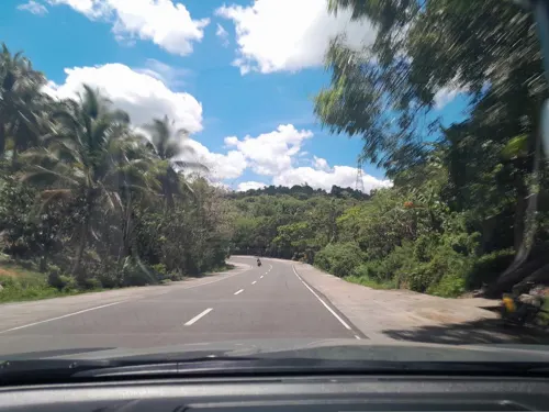
- Street-level photo, ericb1983, CC BY-SA 4.0
Page built November 7, 2026. Spotted a mistake? Tell us or suggest a place.