


Pavia, Philippines
Pavia is a town of 5,928 people in Western Visayas, Philippines, founded in 1848.
Why visit Pavia
Townapedia lists 7 museums and landmarks, 5 parks and trails, 83 places to eat, 10 places to stay and 1 attraction in and around town.
Highlights include Brandy Museum, Iloilo Museum of Contemporary Art and GT Park.
Weather in Pavia
Forecast from MET Norway (CC BY 4.0). Full forecast
About Pavia
Pavia, officially the Municipality of Pavia ([paˈvia], Hiligaynon: Banwa sang Pavia, Tagalog: Bayan ng Pavia), is a municipality in the province of Iloilo, Philippines. According to the 2024 census, it has a population of 74,594 people.
From the Wikipedia article Pavia, Iloilo (this version), under CC BY-SA 4.0.
Things to do1

Museums and landmarks7

Brandy Museum
Museum · 6.4 km
Brandy museum in Iloilo City, Philippines
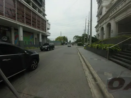
Iloilo Museum of Contemporary Art
Museum · 6.4 km
Art museum in Iloilo City, Philippines
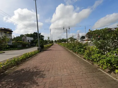
Musée d' Arsie
Museum · 4.2 km
Benigno S. Aquino, Jr. Avenue, Jaro
Monday-Sunday 9:00-18:00


Via Crucis (Way of the Cross) Our Lady of the Smile Shrine
Monument and historic site · 4.4 km
Parks, trails and playgrounds5


Restaurants and cafes83


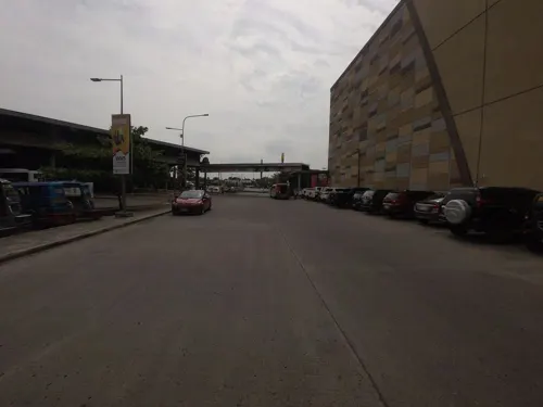
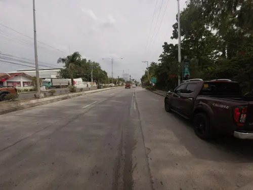
Lechon Haus
Restaurant · Chinese, Breakfast, Filipino, Diner, Chicken, Barbecue, Asian · 2.6 km
National Highway (R3)
Mo-Fr 09:00-21:00; Sa-Su 09:00-22:00

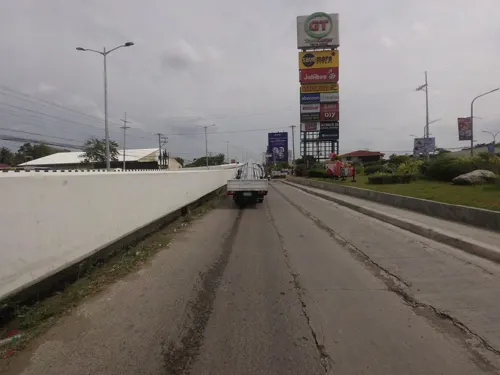
Marlu's Filipino Asian Restaurant
Restaurant · Filipino · 2.2 km
Mo-Su 10:00-22:00
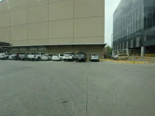
Chicken Deli
Restaurant · Chicken, Burger, Pasta, Filipino, Grill, Noodles, Barbecue · 3.8 km
MacArthur Drive


71 more on the map.
History
Pavia was initially settled by primitive Malays, followed by the arrival of Chinese immigrants between the 15th and 16th centuries. Archaeological excavations at a Chinese burial ground in Cabugao Sur have provided evidence of these early settlements, suggesting a population of around 200 to 400.
During the Spanish Colonial Era, Pavia officially separated from the town of Jaro and was established as an independent entity in 1848. Thirteen landowners came together to transform what was once a "camping place," a "settlement place," or an "abandoned place" into a thriving community.
Over time, Pavia experienced changes in its administrative status. It became part of Santa Barbara in 1901 and then joined Iloilo City in 1904. However, in 1907, Pavia, along with Leganes and Jaro, seceded from Iloilo City to form the suburb of Jaro. Petronilo Gumban served as the leader of Pavia from 1916 until his election as Presidente Municipal of Jaro in 1920. In 1921, under the leadership of Delfin Gumban, Pavia regained its status as an independent municipality.
From the History section of Pavia, Iloilo on Wikipedia, under CC BY-SA 4.0.
Where to stay10
Churches and places of worship25
Lokal ng Jibao-an, Iglesia ni Cristo
Church · Iglesia Ni Cristo · 4.6 km
F. Gorriceta Avenue
Shopping36
Gas and EV charging35
Schools, colleges and libraries49
Healthcare19
Eams Pharmacy & Convenience Store
Clinic and pharmacy · 1.3 km
F. Gorriceta Avenue
Map of Pavia
250 places. The map loads OpenStreetMap tiles when you open it.
Getting there and nearby towns
Iloilo International Airport (ILO) is the nearest airport with scheduled flights listed in OpenStreetMap, 9 km away.
- Leganes 5 km east, about 5 min by car
- Santa Barbara 5 km north, about 5 min by car
- Zarraga 8 km northeast, about 8 min by car
- Iloilo 9 km south, about 9 min by car
- Oton 12 km southwest, about 12 min by car
- Cabatuan 13 km northwest, about 13 min by car
- Alimodian 13 km west, about 13 min by car
- Leon 17 km west, about 17 min by car
- Maasin 18 km northwest, about 18 min by car
- Dumangas 19 km east, about 19 min by car
Drive times are estimates from straight-line distance, not routes.
Local news
Headlines from INDB.
Reviews, tips and questions
Loading what members have shared...
Sources and licences
- GeoNames (CC BY 4.0): population, coordinates, regions and time zone
- Mapillary (see each image): photos
- OpenStreetMap contributors (ODbL 1.0): places, airports, map data
- Wikidata (CC0 1.0): elevation, founding date, time zone, website, landmarks and historic places
- Wikimedia Commons (see each image): photos
- Wikipedia (CC BY-SA 4.0): overview and history text
Photo credits
- Pavia Municipal Hall (Evangelista, Pavia, Iloilo; 10-20-2022), Patrickroque01, CC BY-SA 4.0
- Jaro Cathedral, Kguirnela at English Wikipedia, CC BY 2.5
- Central Philippine University Church, Shewillshine22, CC BY-SA 4.0
- Casa De Emperador with monument (Megaworld Boulevard, Mandurriao, Iloilo City; 04-25-2024), Patrickroque01, CC BY-SA 4.0
- La Paz Church (Iglesia de La Paz) or Iglesia de Nuesta Señora de La Paz y Buen Viaje, Johngaje92, CC BY-SA 4.0
- Remote control for Koppel air conditioner, Curpharar, CC BY-SA 4.0
- Remote control for Hisense TV, Curpharar, CC BY-SA 4.0
- Smoke detector at Gateway Hotel, Curpharar, CC BY-SA 4.0
- Silver trash can at Gateway Hotel room, Curpharar, CC BY-SA 4.0
- Split-type Koppel air conditioner at Gateway Hotel, Curpharar, CC BY-SA 4.0
- Iloilo-Capiz Road, Tagbac, Jaro, Iloilo City, Sep 2026, Ralff Nestor Nacor, CC BY-SA 4.0
- Tagbac Terminal, Jaro, Iloilo City, Sep 2026, Ralff Nestor Nacor, CC BY-SA 4.0
- 1983-NHI-Ang Bahay ni Hechanova-Surroundings, Andre Ryan Maceda, CC BY-SA 4.0
- 1998-NHI-Battle of Balantang, Andre Ryan Maceda, CC BY-SA 4.0
- Glass windows at a church at WVS, Curpharar, CC BY-SA 4.0
- Street-level photo, Kaart_Local, CC BY-SA 4.0
- Street-level photo, Kaart_Local, CC BY-SA 4.0
- Street-level photo, Kaart_Local, CC BY-SA 4.0
- Street-level photo, Kaart_Local, CC BY-SA 4.0
- Street-level photo, Kaart_Local, CC BY-SA 4.0
- Street-level photo, Kaart_Local, CC BY-SA 4.0
- Street-level photo, Kaart_Local, CC BY-SA 4.0
- Street-level photo, Kaart_Local, CC BY-SA 4.0
- Street-level photo, Kaart_Local, CC BY-SA 4.0
- Street-level photo, Kaart_Local, CC BY-SA 4.0
- Street-level photo, Kaart_Local, CC BY-SA 4.0
- Street-level photo, Kaart_Local, CC BY-SA 4.0
- Street-level photo, Kaart_Local, CC BY-SA 4.0
- Street-level photo, Kaart_Local, CC BY-SA 4.0
- Street-level photo, Kaart_Local, CC BY-SA 4.0


Page built November 7, 2026. Spotted a mistake? Tell us or suggest a place.