


Santa Barbara, Philippines
Santa Barbara is a town of 8,629 people in Western Visayas, Philippines.
Why visit Santa Barbara
Townapedia lists 14 museums and landmarks, 20 parks and trails, 154 places to eat, 20 places to stay and 3 attractions in and around town.
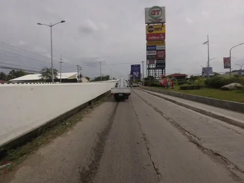
Highlights include Brandy Museum, Iloilo Museum of Contemporary Art, GT Park and Iloilo Golf and Country Club.
Weather in Santa Barbara
Forecast from MET Norway (CC BY 4.0). Full forecast
About Santa Barbara
Santa Barbara, officially the Municipality of Santa Barbara (Hiligaynon: Banwa sang Santa Barbara, Tagalog: Bayan ng Santa Barbara), is a municipality in the province of Iloilo, Philippines. It is situated north of Iloilo City and forms part of the Metro Iloilo–Guimaras area. Santa Barbara is historically known as the site of the first raising of the Philippine flag outside Luzon on November 17, 1898, during the Philippine Revolution. The event, known as the Cry of Santa Barbara, also marked the inauguration of the Revolutionary Government of the Visayas, led by President Roque Lopez and General Martin Delgado.
From the Wikipedia article Santa Barbara, Iloilo (this version), under CC BY-SA 4.0.
Things to do3


Museums and landmarks14

Brandy Museum
Museum · 11.7 km
Brandy museum in Iloilo City, Philippines
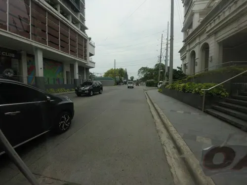
Iloilo Museum of Contemporary Art
Museum · 11.8 km
Art museum in Iloilo City, Philippines

Musée d' Arsie
Museum · 9.4 km
Benigno S. Aquino, Jr. Avenue, Jaro
Monday-Sunday 9:00-18:00


2 more on the map.
Parks, trails and playgrounds20
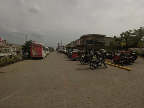




8 more on the map.
Restaurants and cafes154


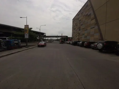
Lechon Haus
Restaurant · Chinese, Breakfast, Filipino, Diner, Chicken, Barbecue, Asian · 7.8 km
National Highway (R3)
Mo-Fr 09:00-21:00; Sa-Su 09:00-22:00

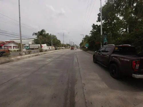
Marlu's Filipino Asian Restaurant
Restaurant · Filipino · 7.3 km
Mo-Su 10:00-22:00


Chicken Deli
Restaurant · Chicken, Burger, Pasta, Filipino, Grill, Noodles, Barbecue · 8.2 km
MacArthur Drive
142 more on the map.
Where to stay20
Churches and places of worship41
Kingdom Hall of Jehovah's Witnesses
Church · Jehovahs Witness · 8.8 km
Zarraga - Cabilaunan Road, Zarraga
Lokal ng Jibao-an, Iglesia ni Cristo
Church · Iglesia Ni Cristo · 8.8 km
F. Gorriceta Avenue
Shopping66
Gas and EV charging46
Schools, colleges and libraries138
Healthcare35
Eams Pharmacy & Convenience Store
Clinic and pharmacy · 6.0 km
F. Gorriceta Avenue
Mercury Drug
Clinic and pharmacy · 0.6 km
Benigno S. Aquino Jr. Avenue, Santa Barbara
Map of Santa Barbara
250 places. The map loads OpenStreetMap tiles when you open it.
Getting there and nearby towns
Iloilo International Airport (ILO) is the nearest airport with scheduled flights listed in OpenStreetMap, 5 km away.
- Pavia 5 km south, about 5 min by car
- Leganes 7 km southeast, about 7 min by car
- Cabatuan 8 km northwest, about 8 min by car
- Zarraga 8 km east, about 8 min by car
- Alimodian 11 km west, about 11 min by car
- Maasin 13 km northwest, about 13 min by car
- Iloilo 14 km south, about 14 min by car
- Janiuay 14 km north, about 14 min by car
- Oton 16 km southwest, about 16 min by car
- Leon 17 km west, about 17 min by car
Drive times are estimates from straight-line distance, not routes.
Local news
Headlines from INDB.
Reviews, tips and questions
Loading what members have shared...
Sources and licences
- GeoNames (CC BY 4.0): population, coordinates, regions and time zone
- Mapillary (see each image): photos
- OpenStreetMap contributors (ODbL 1.0): places, airports, map data
- Wikidata (CC0 1.0): elevation, founding date, time zone, website, landmarks and historic places
- Wikimedia Commons (see each image): photos
- Wikipedia (CC BY-SA 4.0): overview and history text
Photo credits
- Sta Barbara Parish, Santa Barbara, Iloilo, Nickrds09, CC BY-SA 3.0
- Church of Cabatuan, Iloilo, Joelaldor, CC BY-SA 4.0
- Jaro Cathedral, Kguirnela at English Wikipedia, CC BY 2.5
- Central Philippine University Church, Shewillshine22, CC BY-SA 4.0
- Santa Barbara Golf Course, Robert Hammerslag, CC BY-SA 3.0
- The Facade of Sta Barbara Church, Vinjeeh, CC BY-SA 3.0
- Heneral Martin Teofilo Delgado monument, National Historical Commission of the Philippines, Public domain
- Caltex Truganina January 2023 4, Marcnut1996, CC BY-SA 4.0
- Iloilo Supermart – Atrium, BlockatePollop2, CC BY-SA 4.0
- Casa De Emperador with monument (Megaworld Boulevard, Mandurriao, Iloilo City; 04-25-2024), Patrickroque01, CC BY-SA 4.0
- Modern electric fan at a school, Curpharar, CC BY-SA 4.0
- Mounted electric fan in a classroom, Curpharar, CC BY-SA 4.0
- Typical playground slide at a school, Curpharar, CC BY-SA 4.0
- Modern split-type air conditioner at a school, Curpharar, CC BY-SA 4.0
- Neck pillow on a white background at a school, Curpharar, CC BY-SA 4.0
- Window blinds at a school, Curpharar, CC BY-SA 4.0
- Interior of an air-conditioned classroom, Curpharar, CC BY-SA 4.0
- Modern window-type air conditioner at a school, Curpharar, CC BY-SA 4.0
- Modern wristwatch on a white background, Curpharar, CC BY-SA 4.0
- Typical doorknob at home in Iloilo, Curpharar, CC BY-SA 4.0
- Battery-powered electric fan on a white background at home, Curpharar, CC BY-SA 4.0
- Puto in plastic on a white background, Curpharar, CC BY-SA 4.0
- Ma Ling luncheon meat with rice, Curpharar, CC BY-SA 4.0
- A person having two capsules at home, Curpharar, CC BY-SA 4.0
- Fried chicken leg with rice on a bed, Curpharar, CC BY-SA 4.0
- Barbecue in front of a blue background, Curpharar, CC BY-SA 4.0
- Siomai with rice on a bed, Curpharar, CC BY-SA 4.0
- Holding a mango in front of a blue background at home, Curpharar, CC BY-SA 4.0
- Person holding a purple burger, Curpharar, CC BY-SA 4.0
- Advil tablets on a white background, Curpharar, CC BY-SA 4.0
- Portable air conditioner tube at a school, Curpharar, CC BY-SA 4.0
- Water coming out of a shower, Curpharar, CC BY-SA 4.0
- Brunch at Kahilwayan Inn, Curpharar, CC BY-SA 4.0
- Chair set under an umbrella at Kahilwayan Inn, Curpharar, CC BY-SA 4.0
- Glass windows at a church at WVS, Curpharar, CC BY-SA 4.0
- Scenery at SB Heights, Curpharar, CC BY-SA 4.0
- Playground at SB Heights, Curpharar, CC BY-SA 4.0
- Swimming pool at SB Heights, Curpharar, CC BY-SA 4.0
- RP-C4123 interior (Iloilo Intl) 2022-07-07, LMP 2001, CC BY-SA 4.0
- Iloilo International Airport air routes, Retdar, CC BY-SA 4.0
- Street-level photo, Kaart_Local, CC BY-SA 4.0
- Street-level photo, Kaart_Local, CC BY-SA 4.0
- Street-level photo, Kaart_Local, CC BY-SA 4.0
- Street-level photo, Kaart_Local, CC BY-SA 4.0
- Street-level photo, Kaart_Local, CC BY-SA 4.0
- Street-level photo, Kaart_Local, CC BY-SA 4.0
- Street-level photo, Kaart_Local, CC BY-SA 4.0
- Street-level photo, Kaart_Local, CC BY-SA 4.0
- Street-level photo, Kaart_Local, CC BY-SA 4.0


Page built November 7, 2026. Spotted a mistake? Tell us or suggest a place.