


Why visit Pawa
Townapedia lists 3 museums and landmarks, 1 park or trail, 9 places to eat, 7 places to stay and 1 attraction in and around town.
Highlights include Albay Park and Wildlife and Cagsawa Ruins.
Weather in Pawa
Forecast from MET Norway (CC BY 4.0). Full forecast
Things to do1

Museums and landmarks3

Cagsawa Ruins
Monument and historic site · 3.4 km
Ruins of a church destroyed by a volcanic eruption in the Philippines

Parks, trails and playgrounds1

Restaurants and cafes9


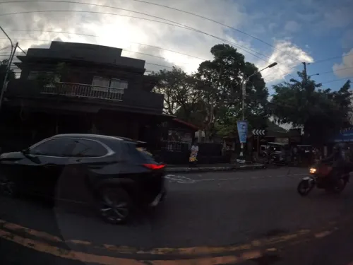

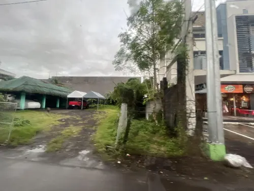


Where to stay7
Churches and places of worship4
St. Joseph Husband of Mary Chapel
Church · Roman Catholic · 2.4 km
Tabaco-Legazpi National Road, Legazpi
Shopping6
Gas and EV charging3
Schools, colleges and libraries23
Rawis Elementary School
School · Roman Catholic · 2.4 km
Tabaco-Legazpi National Road, Legazpi
Genecom Institute of Science and Technology Inc,
School · 2.4 km
Tabaco-Legazpi National Road, Legazpi
Healthcare3
Map of Pawa
60 places. The map loads OpenStreetMap tiles when you open it.
Getting there and nearby towns
Legazpi Airport (LGP) is the nearest airport with scheduled flights listed in OpenStreetMap, 2 km away.
- Daraga 4 km southwest, about 4 min by car
- Legaspi 4 km south, about 4 min by car
- Malilipot 16 km north, about 16 min by car
- Tabaco 20 km north, about 20 min by car
- Ligao 23 km west, about 23 min by car
- Oas 27 km west, about 27 min by car
- Polangui 29 km northwest, about 29 min by car
- Pilar 29 km south, about 29 min by car
- Tiwi 32 km north, about 32 min by car
- Libon 34 km northwest, about 34 min by car
Drive times are estimates from straight-line distance, not routes.
Local news
Headlines from INDB.
Reviews, tips and questions
Loading what members have shared...
Sources and licences
- GeoNames (CC BY 4.0): population, coordinates, regions and time zone
- Mapillary (see each image): photos
- OpenStreetMap contributors (ODbL 1.0): places, airports, map data
- Wikidata (CC0 1.0): elevation, founding date, time zone, website, landmarks and historic places
- Wikimedia Commons (see each image): photos
Photo credits
- Cagsawa ruins, Alienscream, CC BY-SA 3.0
- Cathedral of San Gregorio Magno, Legazpi Albay, ria romero, CC BY-SA 3.0
- Albay Park & Wildlife, Irvin Parco Sto. Tomas, CC BY-SA 4.0
- Your Brother's House Tribal Village 6, Maffeth.opiana, CC BY-SA 4.0
- Your Brother's House Tribal Village 2, Maffeth.opiana, CC BY-SA 4.0
- Your Brother's House Tribal Village 3, Maffeth.opiana, CC BY-SA 4.0
- Your Brother's House Tribal Village 1, Maffeth.opiana, CC BY-SA 4.0
- Your Brother's House Tribal Village 11, Maffeth.opiana, CC BY-SA 4.0
- Your Brother's House Tribal Village 12, Maffeth.opiana, CC BY-SA 4.0
- Your Brother's House Tribal Village 10, Maffeth.opiana, CC BY-SA 4.0
- Your Brother's House Tribal Village 13, Maffeth.opiana, CC BY-SA 4.0
- Your Brother's House Tribal Village 9, Maffeth.opiana, CC BY-SA 4.0
- Your Brother's House Tribal Village 14, Maffeth.opiana, CC BY-SA 4.0
- Your Brother's House Tribal Village 16, Maffeth.opiana, CC BY-SA 4.0
- Your Brother's House Tribal Village 7, Maffeth.opiana, CC BY-SA 4.0
- Your Brother's House Tribal Village 8, Maffeth.opiana, CC BY-SA 4.0
- Your Brother's House Tribal Village 4, Maffeth.opiana, CC BY-SA 4.0
- Your Brother's House Tribal Village 15, Maffeth.opiana, CC BY-SA 4.0
- Nuestra Senora de Salvacion, Legazpi City, Aerous, CC BY 4.0
- Your Brother's House Tribal Village 5, Maffeth.opiana, CC BY-SA 4.0
- Ligñon Hill Nature Park, Dexbaldon, CC BY-SA 4.0
- Mayon volcano, Jakub Michankow /fulloftravel.com, CC BY 4.0
- Philippine Eagle Owl in the cage, JBequio, CC BY-SA 4.0
- Philippine Warty Pig or also known baboy ramo, JBequio, CC BY-SA 4.0
- Eagle in the cage, JBequio, CC BY-SA 4.0
- Philippine Serpent Eagle of Albay Park and Wildlife, JBequio, CC BY-SA 4.0
- View of Daraga-Legazpi Albay, JBequio, CC BY-SA 4.0
- Domestic Sheep of Albay Parks and Wildlife, JBequio, CC BY-SA 4.0
- Bird in Albay Park and Wildlife, JBequio, CC BY-SA 4.0
- Python in the Glass Cage, JBequio, CC BY-SA 4.0
- Reticulated Python in the glass cage, JBequio, CC BY-SA 4.0
- Monitor Lizard of Albay Park and Wildlife, JBequio, CC BY-SA 4.0
- Park and Wildlife, Albinolongoria, CC BY-SA 4.0
- Monkey in Albay Park and Wildlife, JBequio, CC BY-SA 4.0
- T-Rex Statue in Albay Park and Wildlife, JBequio, CC BY-SA 4.0
- Lion on the cage or bars, JBequio, CC BY-SA 4.0
- The king is sleeping, JBequio, CC BY-SA 4.0
- Description and Information of the Lion, JBequio, CC BY-SA 4.0
- White Rabbit in the cage, JBequio, CC BY-SA 4.0
- Beautiful structure of Albay Park and Wildlife, Danbarrameda, CC BY-SA 4.0
- Street-level photo, shogohirasawa, CC BY-SA 4.0
- Street-level photo, shogohirasawa, CC BY-SA 4.0
- Street-level photo, frozenrabi, CC BY-SA 4.0
- Street-level photo, shogohirasawa, CC BY-SA 4.0
- Street-level photo, shogohirasawa, CC BY-SA 4.0
- Street-level photo, frozenrabi, CC BY-SA 4.0


Page built November 7, 2026. Spotted a mistake? Tell us or suggest a place.