


Loading the weather...
Population2,815
GeoNames
RegionCagayan Valley
Elevation92 m
302 ft
Time zoneAsia/Manila
Nearest airportCauayan Airport (CYZ)
32 km
Why visit Rizal
Townapedia lists 4 parks and trails, 4 places to eat and 3 places to stay in and around town.
Weather in Rizal
Forecast from MET Norway (CC BY 4.0). Full forecast
Parks, trails and playgrounds4


Restaurants and cafes4


Where to stay3



Advertisement
Churches and places of worship3

JCSGO - Jesus Christ Saves Global Outreach
Church · Full Gospel - Non Sectarian · 1.4 km
231 Agustin Street, Santiago
Shopping2
Gas and EV charging2
Advertisement
Schools, colleges and libraries9
Healthcare2
Map of Rizal
29 places. The map loads OpenStreetMap tiles when you open it.
Getting there and nearby towns
Cauayan Airport (CYZ) is the nearest airport with scheduled flights listed in OpenStreetMap, 32 km away.
- Santiago 3 km south, about 3 min by car
- Ramon 8 km north, about 8 min by car
- Cordon 11 km southwest, about 11 min by car
- Echague 13 km east, about 13 min by car
- Alicia 17 km northeast, about 17 min by car
- Angadanan 21 km east, about 21 min by car
- Quezon 39 km southwest, about 39 min by car
- Solano 46 km southwest, about 46 min by car
- Roxas 45 km north, about 45 min by car
- Lagawe 47 km west, about 47 min by car
Drive times are estimates from straight-line distance, not routes.
Local news
Headlines from INDB.
Reviews, tips and questions
Loading what members have shared...
Sources and licences
- GeoNames (CC BY 4.0): population, coordinates, regions and time zone
- Mapillary (see each image): photos
- OpenStreetMap contributors (ODbL 1.0): places, airports, map data
- Wikidata (CC0 1.0): elevation, founding date, time zone, website, landmarks and historic places
- Wikimedia Commons (see each image): photos
Photo credits
- Mabini Circle, Santiago, Isabela, Jun 2026 (1), Ralff Nestor Nacor, CC BY-SA 4.0
- Mabini Circle, Santiago, Isabela, Jun 2026 (2), Ralff Nestor Nacor, CC BY-SA 4.0
- Apolinario Mabini Monument, Santiago, Isabela, Jun 2026, Ralff Nestor Nacor, CC BY-SA 4.0
- Maharlika Highway, Santiago, Isabela, Jun 2026 (2), Ralff Nestor Nacor, CC BY-SA 4.0
- Robinsons Santiago, Isabela, Jun 2026, Ralff Nestor Nacor, CC BY-SA 4.0
- Maharlika Highway, Santiago, Isabela, Jun 2026 (1), Ralff Nestor Nacor, CC BY-SA 4.0
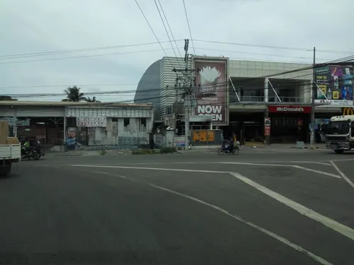
- Street-level photo, asdfasdf0986, CC BY-SA 4.0
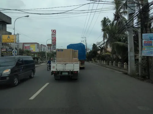
- Street-level photo, asdfasdf0986, CC BY-SA 4.0
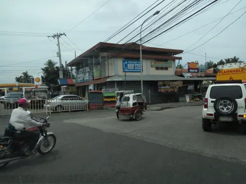
- Street-level photo, asdfasdf0986, CC BY-SA 4.0
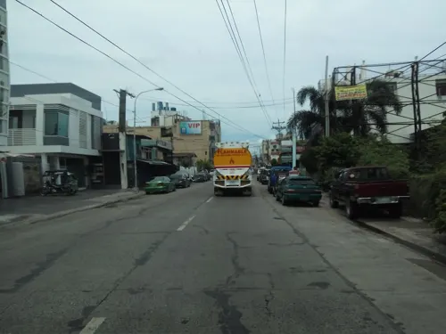
- Street-level photo, asdfasdf0986, CC BY-SA 4.0
Page built November 7, 2026. Spotted a mistake? Tell us or suggest a place.