

Santa Fe, Philippines
Santa Fe is a town of 3,010 people in Eastern Visayas, Philippines.
Why visit Santa Fe
Townapedia lists 1 museum or landmark, 1 place to eat and 1 place to stay in and around town.
Weather in Santa Fe
Forecast from MET Norway (CC BY 4.0). Full forecast
About Santa Fe
Santa Fe (IPA: [sɐntɐ 'fɛ]), officially the Municipality of Santa Fe (Waray: Bungto han Santa Fe; Tagalog: Bayan ng Santa Fe), is a municipality in the province of Leyte, Philippines. According to the 2024 census, it has a population of 22,889 people.
From the Wikipedia article Santa Fe, Leyte (this version), under CC BY-SA 4.0.
Museums and landmarks1
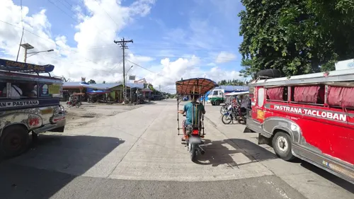
Restaurants and cafes1
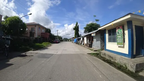
Where to stay1

Churches and places of worship6


Palo Cathedral
Church · 8.7 km
Roman Catholic cathedral in Palo, Leyte, Philippines


History
About thirty years ago, Santa Fe was just one of the biggest barrios of Palo, Leyte. In 1948, Juan R. Perez, a native of this barrio, was a private secretary. Inspired and prompted by Melquiades Almen, Julian Dagami, Jose Catada, Antonio Evalo, Eulogio Navarra and Maximo Postreto, all civic leaders and with the consent of Mayor Generoso Alvarado of Palo, House Bill No. 1918 was drafted and sponsored on May 6, 1948, on the floor of the House of Representatives by Congressman Perez, creating Santa Fe a town. At first there was strong opposition from the residents of Palo as Santa Fe and other affected barrios were the main source of income for the town but the oppositionist were silenced by the budding leaders of Santa Fe. The bill was finally approved by the lower house and the Senate under the leadership of Senator Jose Avelino. However, politics intervened. While the bill was waiting for the signature of President Elpidio Quirino, there was a split of the party in power.
From the History section of Santa Fe, Leyte on Wikipedia, under CC BY-SA 4.0.
Schools, colleges and libraries48
Map of Santa Fe
57 places. The map loads OpenStreetMap tiles when you open it.
Getting there and nearby towns
Daniel Z. Romualdez Airport (TAC) is the nearest airport with scheduled flights listed in OpenStreetMap, 13 km away.
- Palo 9 km east, about 9 min by car
- Tacloban 12 km northeast, about 12 min by car
- Tanauan 14 km southeast, about 14 min by car
- Burauen 23 km south, about 23 min by car
- Carigara 29 km northwest, about 29 min by car
- Dulag 29 km southeast, about 29 min by car
- Santa Rita 30 km north, about 30 min by car
- Ormoc 39 km southwest, about 39 min by car
- Baybay 58 km south, about 58 min by car
- Catbalogan 66 km north, about 1 h by car
Drive times are estimates from straight-line distance, not routes.
Local news
Headlines from INDB.
Reviews, tips and questions
Loading what members have shared...
Sources and licences
- GeoNames (CC BY 4.0): population, coordinates, regions and time zone
- Mapillary (see each image): photos
- OpenStreetMap contributors (ODbL 1.0): places, airports, map data
- Wikidata (CC0 1.0): elevation, founding date, time zone, website, landmarks and historic places
- Wikimedia Commons (see each image): photos
- Wikipedia (CC BY-SA 4.0): overview and history text
Photo credits
- Palo Cathedral 01, Jojit Ballesteros, CC BY 4.0
- Street-level photo, danbjoseph, CC BY-SA 4.0
- Street-level photo, danbjoseph, CC BY-SA 4.0
Page built November 7, 2026. Spotted a mistake? Tell us or suggest a place.