


Sumilao, Philippines
Sumilao is a town of 5,339 people in Northern Mindanao, Philippines, founded in July 1, 1956.
Why visit Sumilao
Townapedia lists 1 museum or landmark, 2 parks and trails, 7 places to eat, 2 places to stay and 11 attractions in and around town.
Weather in Sumilao
Forecast from MET Norway (CC BY 4.0). Full forecast
About Sumilao
Sumilao, officially the Municipality of Sumilao (Bukid and Higaonon: Banuwa ta Sumilao; Cebuano: Lungsod sa Sumilao; Tagalog: Bayan ng Sumilao), is a 2nd class municipality in the province of Bukidnon, Philippines. According to the 2024 census, it has a population of 31,094 people.
From the Wikipedia article Sumilao (this version), under CC BY-SA 4.0.
Things to do11



Museums and landmarks1

Parks, trails and playgrounds2

Restaurants and cafes7


History
Oral history from the town's old-time residents stated that before the Spanish colonization, the present site of the Poblacion was already inhabited. Four big buildings housing several families were already constructed. These families were directly controlled by a settlement datu or chief. They have grouped together to protect themselves from the fierce “mangangayaw” or headhunters from the hills.
When the Spaniards came, Datu Manlomero and Opecio, with their men, fought against the invading conquistadores. The natives were then defeated due to the inferiority of their weapons.
So they laid down their arms and accepted the new ruler. They were baptized to the Christian religion. In the 1860s, the Recollect missionaries were already making visits to Sumilao.
When the Jesuit priests took over the missionary work in Bukidnon in the 1870s, Sumilao was already one of the rancherias of the Visita of Tagoloan. Regular missionary trips to Sumilao and Linabo were intensified by Fathers Juan Terricarbas and Eusebio Barrado. By 1887, there were 200 Christian residents of the Rancheria de Sumilao.
In January 1890, Sumilao was created into the first active mission station in Bukidnon, thus making her the nucleus of the Roman Catholic faith in the province. Mission de Sumilao assumed jurisdiction over the rancherias of Tagoloan up to Bugcaon, formerly all under the parish of Tagoloan.
From the History section of Sumilao on Wikipedia, under CC BY-SA 4.0.
Where to stay2
Churches and places of worship4
Gas and EV charging7
Schools, colleges and libraries36
Healthcare2
Map of Sumilao
72 places. The map loads OpenStreetMap tiles when you open it.
Getting there and nearby towns
Maramag Airport (XMA) is the nearest airport with scheduled flights listed in OpenStreetMap, 60 km away.
- Manolo Fortich 13 km northwest, about 13 min by car
- Malaybalay 25 km southeast, about 25 min by car
- Casisang 26 km southeast, about 26 min by car
- Tagoloan 35 km northwest, about 35 min by car
- Cagayan de Oro 39 km northwest, about 39 min by car
- Villanueva 38 km northwest, about 38 min by car
- Maramag 59 km south, about 59 min by car
- Iligan City 60 km west, about 1 h by car
- Gingoog 62 km north, about 1 h by car
- Quezon 64 km south, about 1 h by car
Drive times are estimates from straight-line distance, not routes.
Local news
Headlines from INDB.
Reviews, tips and questions
Loading what members have shared...
Sources and licences
- GeoNames (CC BY 4.0): population, coordinates, regions and time zone
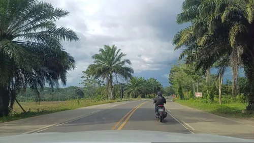
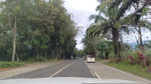
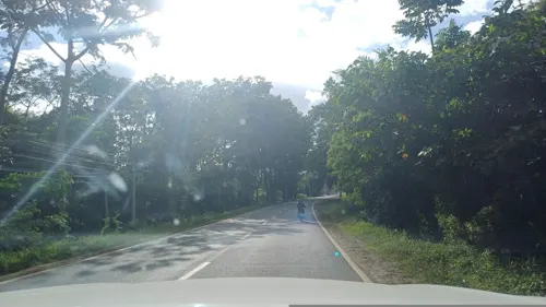
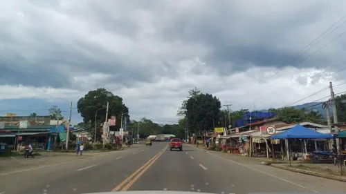
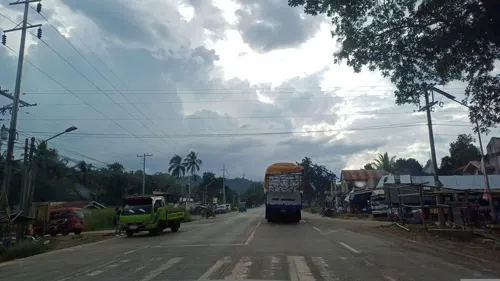
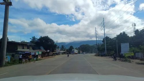
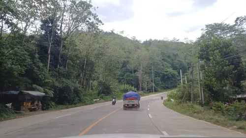
- Mapillary (see each image): photos
- OpenStreetMap contributors (ODbL 1.0): places, airports, map data
- Wikidata (CC0 1.0): elevation, founding date, time zone, website
- Wikimedia Commons (see each image): photos
- Wikipedia (CC BY-SA 4.0): overview and history text
Photo credits
- Sumilao, Bukidnon landscape (J. Nicdao) - Flickr, Jose Nicdao from San Jose, United States, CC BY 2.0
- Sumilao, Bukidnon landscape (J. Nicdao) 2 - Flickr, Jose Nicdao from San Jose, United States, CC BY 2.0
- Tropidophorus partelloi 410633842, Wouter Beukema, CC BY 4.0
- Calamaria lumbricoidea in the Philippines 410633670, Wouter Beukema, CC BY 4.0
- Calamaria lumbricoidea in the Philippines 410633651, Wouter Beukema, CC BY 4.0
- Tropidophorus misaminius 410633370, Wouter Beukema, CC BY 4.0
- Calamaria lumbricoidea in the Philippines 410633650, Wouter Beukema, CC BY 4.0
- Calamaria lumbricoidea in the Philippines 410633665, Wouter Beukema, CC BY 4.0
- Tropidophorus partelloi 410633849, Wouter Beukema, CC BY 4.0
- Tropidophorus misaminius 410633465, Wouter Beukema, CC BY 4.0
- Calamaria lumbricoidea in the Philippines 410633666, Wouter Beukema, CC BY 4.0
- Limnonectes diuatus, Wouter Beukema, CC BY 4.0
- Limnonectes diuatus hind foot 01, Wouter Beukema, CC BY 4.0
- Limnonectes diuatus 02, Wouter Beukema, CC BY 4.0
- ISS053-E-205375 - View of Earth, Earth Science and Remote Sensing Unit , Lyndon B. Johnson Space Center, Public domain
- ISS059-E-66646 - View of Earth, Earth Science and Remote Sensing Unit, NASA Johnson Space Center, Public domain
- ISS053-E-203636 - View of Earth, Earth Science and Remote Sensing Unit , Lyndon B. Johnson Space Center, Public domain
- Blue Night, 影丸, CC BY 3.0
- Dila Falls, CEDAR,Bukidnon, Ktk8, CC BY-SA 4.0
- Street-level photo, dp24ph, CC BY-SA 4.0
- Street-level photo, dp24ph, CC BY-SA 4.0
- Street-level photo, dp24ph, CC BY-SA 4.0
- Street-level photo, dp24ph, CC BY-SA 4.0
- Street-level photo, dp24ph, CC BY-SA 4.0
- Street-level photo, dp24ph, CC BY-SA 4.0
- Street-level photo, dp24ph, CC BY-SA 4.0
- Street-level photo, dp24ph, CC BY-SA 4.0
- Street-level photo, dp24ph, CC BY-SA 4.0
- Street-level photo, dp24ph, CC BY-SA 4.0
- Street-level photo, dp24ph, CC BY-SA 4.0
- Street-level photo, dp24ph, CC BY-SA 4.0
- Street-level photo, dp24ph, CC BY-SA 4.0
- Street-level photo, dp24ph, CC BY-SA 4.0
- Street-level photo, dp24ph, CC BY-SA 4.0
- Street-level photo, dp24ph, CC BY-SA 4.0
- Street-level photo, dp24ph, CC BY-SA 4.0
- Street-level photo, dp24ph, CC BY-SA 4.0


Page built November 7, 2026. Spotted a mistake? Tell us or suggest a place.