


Loading the weather...
Population5,913
GeoNames
Local nameУнцукуль
RegionDagestan
Elevation874 m
2,867 ft
Time zoneEurope/Moscow
Nearest airportMakhachkala Uytash Airport (MCX)
72 km
Weather in Untsukul’
Forecast from MET Norway (CC BY 4.0). Full forecast
About Untsukul’
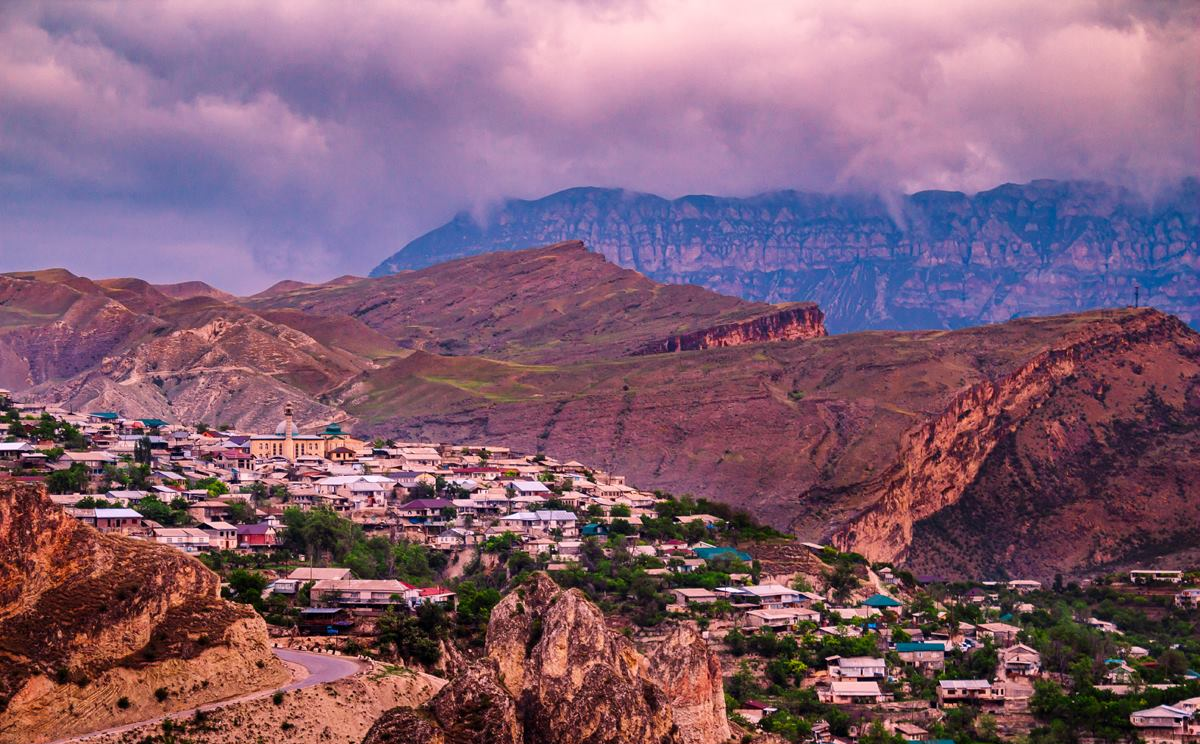
Untsukul (Russian: Унцукуль, Avar: Унсоколо) is a rural locality (a selo) and the administrative center of Untsukulsky District of the Republic of Dagestan, Russia. Population: 6,274 (2010 census); 5,523 (2002 census); 3,879 (1989 Soviet census).
From the Wikipedia article Untsukul (this version), under CC BY-SA 4.0.
Schools, colleges and libraries4

Healthcare1

Map of Untsukul’
5 places. The map loads OpenStreetMap tiles when you open it.
Getting there and nearby towns
Makhachkala Uytash Airport (MCX) is the nearest airport with scheduled flights listed in OpenStreetMap, 72 km away.
- Buynaksk 30 km northeast, about 30 min by car
- Kizilyurt 55 km north, about 55 min by car
- Semender 59 km northeast, about 59 min by car
- Khasavyurt 62 km north, about 1 h by car
- Al’burikent 63 km northeast, about 1 h by car
- Tarki 63 km northeast, about 1 h by car
- Vedeno 63 km northwest, about 1 h by car
- Makhachkala 65 km northeast, about 1 h by car
- Kaspiysk 72 km east, about 1 h 15 min by car
- Shali 87 km northwest, about 1 h 30 min by car
Drive times are estimates from straight-line distance, not routes.
Local news
Headlines from INDB.
Reviews, tips and questions
Loading what members have shared...
Sources and licences
- GeoNames (CC BY 4.0): population, coordinates, regions and time zone
- OpenStreetMap contributors (ODbL 1.0): places, airports, map data
- Wikidata (CC0 1.0): elevation, founding date, time zone, website
- Wikimedia Commons (see each image): photos
- Wikipedia (CC BY-SA 4.0): overview and history text
Photo credits
- Унсоколо, The original uploader was Аль-Гимравий at Avaric Wikipedia ., CC BY 3.0
- ISS030-E-254595 - View of Earth, Earth Science and Remote Sensing Unit , Lyndon B. Johnson Space Center, Public domain
Page built November 4, 2026. Spotted a mistake? Tell us or suggest a place.