
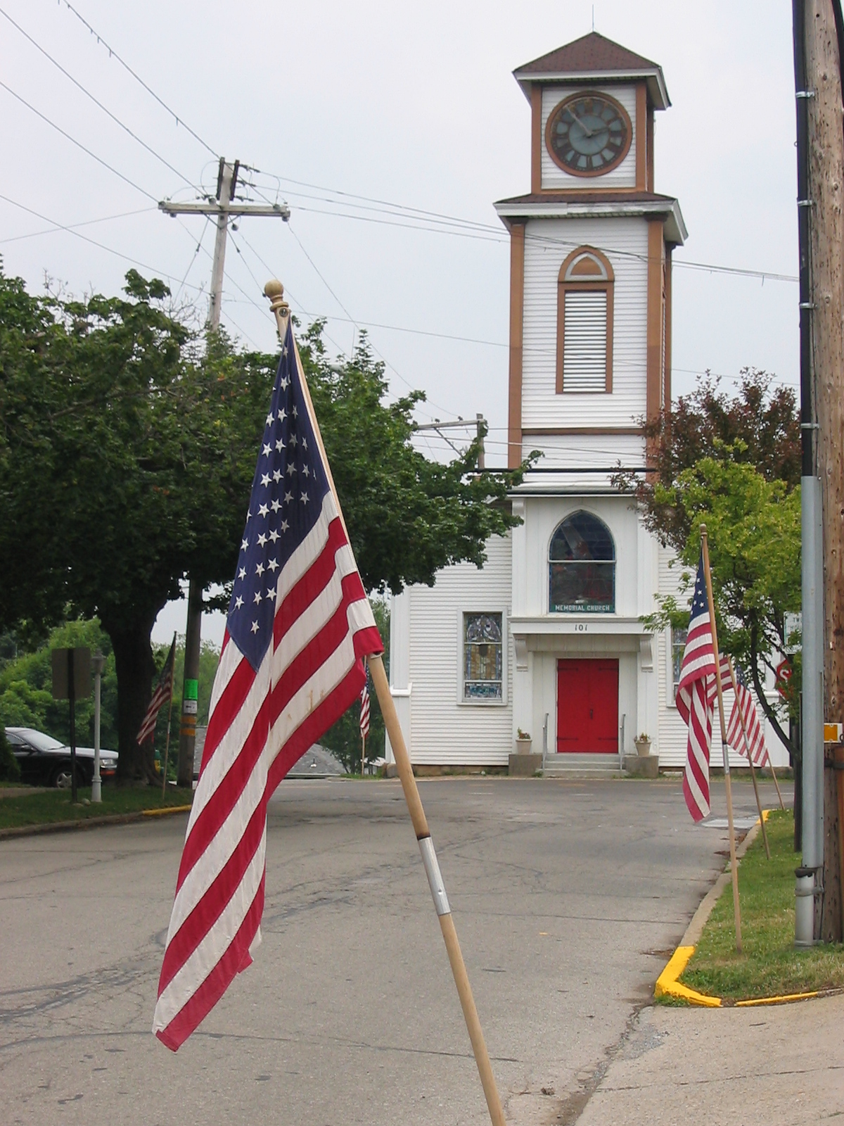

Saxonburg, Pennsylvania
Saxonburg is a borough of 1,202 people in Butler County, Pennsylvania, founded in 1845.
Why visit Saxonburg
Townapedia lists 4 museums and landmarks, 2 parks and trails and 11 places to eat in and around town.
Highlights include John Roebling House and Saxonburg Historic District.
July is the warmest month, with average highs of 82°F; January lows average 17°F, and about 35 inches of snow fall in a normal year.
Weather in Saxonburg
Forecast from the National Weather Service. Full forecast
About Saxonburg
Saxonburg is a borough in Butler County, Pennsylvania, United States. It is part of the Greater Pittsburgh area in Western Pennsylvania. It was founded in 1832 by F. Carl Roebling and his younger brother John as a German farming colony.
From the Wikipedia article Saxonburg, Pennsylvania (this version), under CC BY-SA 4.0.
Museums and landmarks4


John Roebling House
Monument and historic site · National Register of Historic Places
Historic home located at Saxonburg, Butler County, Pennsylvania

Saxonburg Historic District
Monument and historic site · National Register of Historic Places
Historic district in Pennsylvania, United States

Parks, trails and playgrounds2


Restaurants and cafes11

Saxonburg Coffee Company
Cafe · Coffee, Pastry, Ice Cream
211 West Main Street, Saxonburg
Mo-Fr 07:00-18:00; Sa 08:00-16:00; Su off

Kelly's Family Restaurant
Restaurant
130 West Main Street, Saxonburg
Mo-Su 05:30-15:00





Churches and places of worship2

History
Founded in 1832 by Friedrich Carl Roebling and his younger brother John A. Roebling, the frontier farming community was initially called "Germania". This was changed to "Sachsenburg" and later anglicized to Saxonburg. Roebling had emigrated with his brother Carl and a group of pioneers from Prussia in 1831 to flee political unrest and oppression. (Although this is something that is doubted by David McCullough in his 1972 book The Great Bridge, writing, "He was seeking neither religious freedom nor release from the bondage of poverty. His quest was for something else.") The two men, along with a handful of a larger group who accompanied them on the trans-Atlantic journey, bought 1,582 acres (6.40 km2) of land on October 28, 1831, from Mrs. Sarah Collins.
After a few years, Roebling left farming to return to his career as an engineer. He developed a way to produce wire rope or cable, and used it in several of his projects, beginning with an aqueduct. He produced the wire rope at a workshop on his property in Saxonburg. He designed several suspension bridges, including two in Pittsburgh and one in Philadelphia. His most famous is his Brooklyn Bridge in New York. The Roebling Museum in the borough maintains several artifacts of his notable career.
From the History section of Saxonburg, Pennsylvania on Wikipedia, under CC BY-SA 4.0.
Shopping2
Gas and EV charging1
Schools, colleges and libraries9
Healthcare1
Map of Saxonburg
32 places. The map loads OpenStreetMap tiles when you open it.
Climate by month
Monthly table
| Month | High | Low | Rain | Snow |
|---|---|---|---|---|
| Jan | 34°F | 17°F | 3.4 in | 11.3 in |
| Feb | 37°F | 18°F | 2.7 in | 9.7 in |
| Mar | 46°F | 25°F | 3.3 in | 5.3 in |
| Apr | 60°F | 35°F | 3.5 in | 0.6 in |
| May | 70°F | 45°F | 3.8 in | 0.0 in |
| Jun | 78°F | 54°F | 4.3 in | 0.0 in |
| Jul | 82°F | 58°F | 4.2 in | 0.0 in |
| Aug | 81°F | 57°F | 4.0 in | 0.0 in |
| Sep | 74°F | 50°F | 4.1 in | 0.0 in |
| Oct | 62°F | 39°F | 3.3 in | 0.1 in |
| Nov | 50°F | 30°F | 3.3 in | 1.1 in |
| Dec | 39°F | 23°F | 3.4 in | 6.8 in |
U.S. Climate Normals 1991-2020 for Butler 2 Sw (8 mi away), NOAA NCEI.
People and cost of living
American Community Survey 5-year estimates, 2020-2024, U.S. Census Bureau. Estimates have margins of error, larger for small towns.
Disaster history
Butler County has had 7 federal disaster declarations since 2000, most often for hurricanes.
- 2020-03-30: Covid-19 Pandemic (Biological)
- 2020-03-13: Covid-19 (Biological)
- 2012-10-29: Hurricane Sandy (Hurricane)
- 2010-04-16: Severe Winter Storms And Snowstorms (Snowstorm)
- 2005-09-10: Hurricane Katrina (Hurricane)
- 2004-09-19: Tropical Depression Ivan (Hurricane)
OpenFEMA disaster declarations summaries.
Getting there and nearby towns
Pittsburgh-Butler Regional Airport (BTP) is the nearest airport with scheduled flights listed in OpenStreetMap, 7 miles away.
- Freeport 8 mi southeast, about 13 min by car
- Butler 9 mi northwest, about 14 min by car
- Russellton 10 mi south, about 16 min by car
- Mars 11 mi west, about 18 min by car
- Lower Burrell 13 mi southeast, about 20 min by car
- New Kensington 13 mi south, about 21 min by car
- Allison Park 14 mi southwest, about 23 min by car
- Cheswick 14 mi south, about 23 min by car
- Lenape Heights 15 mi east, about 25 min by car
- Plum 18 mi south, about 28 min by car
Drive times are estimates from straight-line distance, not routes.
Local news
Headlines from INDB, the NEMICO news database.
Reviews, tips and questions
Loading what members have shared...
Sources and licences
- NCES EDGE (Public domain): public schools
- NOAA NCEI U.S. Climate Normals 1991-2020 (Public domain): climate by month
- OpenFEMA (Public domain): disaster declarations
- OpenStreetMap contributors (ODbL 1.0): places, airports, map data
- U.S. Census Bureau (Public domain): population, income, housing, education, commute
- Wikidata (CC0 1.0): elevation, founding date, time zone, website, landmarks and historic places
- Wikimedia Commons (see each image): photos
- Wikipedia (CC BY-SA 4.0): overview and history text
Photo credits
- Saxonburg PA Memorial Church, Unknown author, CC BY 2.5
- Roebling Shop with bridge, Nyttend, Public domain
Page built October 30, 2026. Spotted a mistake? Tell us or suggest a place.