


Scarsdale, New York
Scarsdale is a village of 18,010 people in Westchester County, New York, founded in March 21, 1701.
Why visit Scarsdale
Townapedia lists 37 museums and landmarks, 47 parks and trails, 44 places to eat and 2 attractions in and around town.
Highlights include Saint Vladimir's Orthodox Theological Seminary, Emelin Theatre, Quaker Ridge Golf Club and Winged Foot Golf Club.
July is the warmest month, with average highs of 86°F; January lows average 23°F, and about 33 inches of snow fall in a normal year.
Weather in Scarsdale
Forecast from the National Weather Service. Full forecast
About Scarsdale
Scarsdale () is a coterminous town and village in Westchester County, New York, United States, 19 miles (31 km) north of New York City. It is on 6.683 square miles (17.31 km2) and is located inland within the Bronx River Valley. Scarsdale includes 17 neighborhoods which are bundled into the geographic regions of Edgewood, Fox Meadow, Greenacres, Heathcote, and Quaker Ridge. It is served by the Scarsdale station of the Metro-North Railroad's Harlem Line.
From the Wikipedia article Scarsdale, New York (this version), under CC BY-SA 4.0.
Things to do2

Saint Vladimir's Orthodox Theological Seminary
School · 2.9 mi
Eastern Orthodox seminary in Yonkers, New York, United States

Museums and landmarks37

Quaker Ridge Golf Club
Monument and historic site · National Register of Historic Places · 2.0 mi
Private golf club in Scarsdale, New York

Winged Foot Golf Club
Monument and historic site · National Register of Historic Places · 2.5 mi
Golf club in Mamaroneck, New York state, USA

Albert E. and Emily Wilson House
Monument and historic site · National Register of Historic Places · 3.7 mi
Historic house in Mamaroneck, New York

Bar Building
Monument and historic site · National Register of Historic Places · 2.7 mi
Historic commercial building in New York, United States

Caleb Hyatt House
Monument and historic site · National Register of Historic Places · 1.4 mi
Scarsdale, New York, listed on the NRHP in Westchester County

Evangeline Booth House
Monument and historic site · National Register of Historic Places · 2.1 mi
Historic house in Hartsdale, New York, USA

Good Counsel Complex
Monument and historic site · National Register of Historic Places · 3.2 mi
In White Plains, New York, United States

Hadden-Margolis House
Monument and historic site · National Register of Historic Places · 2.6 mi
Historic house in New York, United States

Hartsdale Pet Cemetery
Monument and historic site · National Register of Historic Places · 2.2 mi
Pet cemetery in Greenburgh, New York
Hartsdale station
Monument and historic site · National Register of Historic Places · 1.6 mi
Railway station in New York, US

Jacob Purdy House
Monument and historic site · National Register of Historic Places · 3.0 mi
Historic house in New York, United States
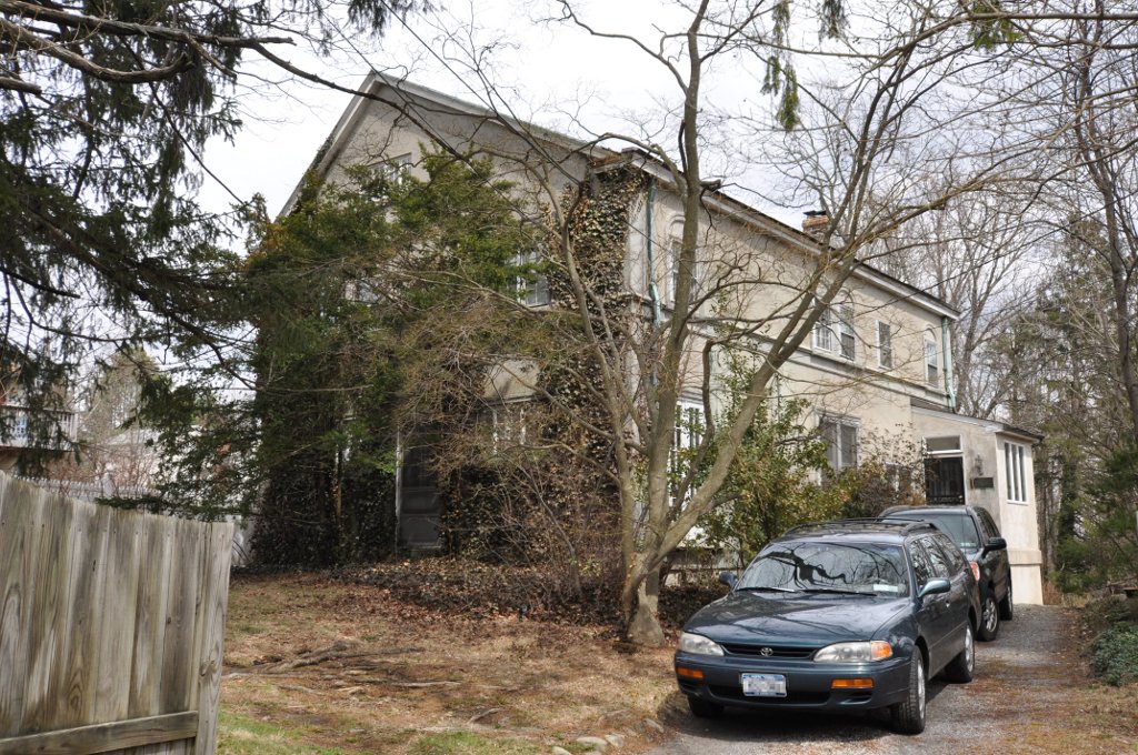


Leo Friedlander Studio
Monument and historic site · National Register of Historic Places · 3.8 mi
White Plains, New York, NRHP-listed
25 more on the map.
Parks, trails and playgrounds47



Hart's Brook Park and Preserve
Hiking and trails · 2.3 mi
156 Ridge Road, Hartsdale
sunrise-sunset
Harwood Park
Park · 0.8 mi
Acquired in 1928. 10.9 Acres. Passive park with a pond, walking paths, and park seating.
56 Olmsted Road, Scarsdale
35 more on the map.
Restaurants and cafes44


IHOP
Restaurant · Breakfast, Pancake · 2.0 mi
28 South Central Avenue, Hartsdale
Mo-We,Su 07:00-20:00; Th 07:00-21:00; Fr,Sa 07:00-22:00
Ko Ko Sushi
Restaurant · Sushi · 1.6 mi
50 Christie Place, Scarsdale
Mo-Sa 11:00-21:00; Su 12:00-20:00
PopoJito
Restaurant · Mexican, Mediterranean, Fusion · 1.6 mi
46 Christie Place, Scarsdale
Su-We 11:30-21:00; Th-Sa 11:30-22:00
Starbucks
Cafe · Coffee Shop · 0.6 mi
1170 Wilmot Road, Scarsdale
Mo-Fr 05:00-20:00; Sa 05:30-20:00; Su 05:30-19:00
The Formosa Coffee
Cafe · Bakery, Coffee, Tea, Taiwanese · 1.9 mi
111 Brook Street, Scarsdale
Mo-Th 08:00-17:00; Fr-Sa 08:00-18:00; Su 08:00-17:00

32 more on the map.
Churches and places of worship45
Mamaroneck Methodist Church
Church · National Register of Historic Places · 3.8 mi
St. Thomas' Episcopal Church Complex
Church · National Register of Historic Places · 3.8 mi
Kingdom Hall of Jehovah’s Witnesses
Church · Jehovahs Witness · 1.5 mi
575 Stratton Road, New Rochelle
Kingdom Hall of Jehovah’s Witnesses
Church · Jehovahs Witness · 2.3 mi
155 Orawaupum Street, White Plains
Our Lady of Mount Carmel Catholic Church
Church · Roman Catholic · 2.5 mi
92 South Lexington Avenue, White Plains
Shopping14
Gas and EV charging14
Schools, colleges and libraries70
Archbishop Stepinac High School
School · 1.5 mi
950 Mamaroneck Avenue, White Plains
Healthcare8
Passport Health White Plains Travel Clinic
Clinic and pharmacy · 2.4 mi
222 Mamaroneck Avenue, White Plains
Map of Scarsdale
250 places. The map loads OpenStreetMap tiles when you open it.
Climate by month
Monthly table
| Month | High | Low | Rain | Snow |
|---|---|---|---|---|
| Jan | 40°F | 23°F | 3.9 in | 9.4 in |
| Feb | 43°F | 24°F | 3.3 in | 10.9 in |
| Mar | 51°F | 31°F | 4.4 in | 5.8 in |
| Apr | 63°F | 40°F | 4.3 in | 0.7 in |
| May | 73°F | 50°F | 4.3 in | 0.0 in |
| Jun | 81°F | 59°F | 4.6 in | 0.0 in |
| Jul | 86°F | 64°F | 4.5 in | 0.0 in |
| Aug | 84°F | 63°F | 4.4 in | 0.0 in |
| Sep | 77°F | 56°F | 4.6 in | 0.0 in |
| Oct | 65°F | 45°F | 4.4 in | 0.0 in |
| Nov | 54°F | 36°F | 3.9 in | 0.3 in |
| Dec | 44°F | 29°F | 4.7 in | 5.6 in |
U.S. Climate Normals 1991-2020 for Dobbs Ferry-Ardsley Hcn (3 mi away), NOAA NCEI.
People and cost of living
American Community Survey 5-year estimates, 2020-2024, U.S. Census Bureau. Estimates have margins of error, larger for small towns.
Disaster history
Westchester County has had 21 federal disaster declarations since 2000, most often for hurricanes.
- 2024-01-30: Severe Storm And Flooding (Flood)
- 2021-09-05: Remnants Of Hurricane Ida (Hurricane)
- 2021-09-02: Remnants Of Hurricane Ida (Hurricane)
- 2021-08-22: Hurricane Henri (Hurricane)
- 2020-10-02: Tropical Storm Isaias (Hurricane)
- 2020-03-20: Covid-19 Pandemic (Biological)
OpenFEMA disaster declarations summaries.
Getting there and nearby towns
Westchester County Airport (HPN) is the nearest airport with scheduled flights listed in OpenStreetMap, 6 miles away.
- Eastchester 3 mi southwest, about 5 min by car
- Harrison 4 mi northeast, about 6 min by car
- New Rochelle 5 mi south, about 8 min by car
- Mamaroneck 5 mi southeast, about 8 min by car
- Dobbs Ferry 5 mi west, about 8 min by car
- Yonkers 6 mi southwest, about 9 min by car
- Port Chester 6 mi east, about 9 min by car
- Mount Vernon 6 mi southwest, about 10 min by car
- Rye 6 mi southeast, about 9 min by car
- Greenwich 8 mi east, about 13 min by car
Drive times are estimates from straight-line distance, not routes.
Local news
Headlines from INDB, the NEMICO news database.
Reviews, tips and questions
Loading what members have shared...
Sources and licences
- NCES EDGE (Public domain): public schools
- NOAA NCEI U.S. Climate Normals 1991-2020 (Public domain): climate by month
- OpenFEMA (Public domain): disaster declarations
- OpenStreetMap contributors (ODbL 1.0): places, airports, map data
- U.S. Census Bureau (Public domain): population, income, housing, education, commute
- Wikidata (CC0 1.0): elevation, founding date, time zone, website, landmarks and historic places
- Wikimedia Commons (see each image): photos
- Wikipedia (CC BY-SA 4.0): overview and history text
Photo credits
- Harwoodcourtscarsdale, Daniel P. B. Smith. Dpbsmith at en.wikipedia, CC BY-SA 3.0
- Scarsdale Public Library 2023 jeh, Jim.henderson, CC BY-SA 4.0
- Scarsdale High School 2023 jeh, Jim.henderson, CC BY-SA 4.0
- Scarsdale High School, Jweiss11, GFDL
- Scarsdale Woman's Club 37 Drake Rd, cloudy jeh, Jim.henderson, CC0
- ScarsdaleNY WaysideCottage1, Magicpiano, CC BY-SA 4.0
- ScarsdaleNY WaysideCottage3, Magicpiano, CC BY-SA 4.0
- ScarsdaleNY WaysideCottage2, Magicpiano, CC BY-SA 4.0
- Edgewood School Scarsdale south cloudy jeh, Jim.henderson, CC0
- Church of St. James the Less (Episcopal), Scarsdale, jeh, Jim.henderson, CC0
- Trinity Lutheran Ch 25 Crane Rd Scarsdale cloudy jeh, Jim.henderson, CC0
- Imac Heart Mary RCC 8 Carman Rd Scarsdale jeh, Jim.henderson, CC0
- Scarsdale lunch park jeh (cropped), Jim.henderson, CC0
- Scarsdale lunch park jeh, Jim.henderson, CC0
- ScarsdalePostOffice, Self made photo, CC BY-SA 3.0
- Scarsdale Concours d'Elegance, Brett Weinstein, CC BY-SA 2.0
- Scarsdale Sta roof from train jeh, Jim.henderson, CC BY-SA 4.0
- Winged Foot Golf Club main entrance, Unknown author, CC BY-SA 3.0
- ScarsdaleNY QuakerRidgeGolfClub1, Magicpiano, CC BY-SA 4.0
- Seely Skinny House Mamaroneck vert close DSCN1847 01, N0TABENE, CC BY-SA 4.0
- Evangeline Booth House, PointsofNoReturn, CC BY-SA 4.0
- WaltersHotDog2005, J. Van Meter, CC BY-SA 3.0
- HartsdaleNY LeoFriedlanderStudio, User:Magicpiano, CC BY-SA 4.0
- HarrisonNY HaddenMargolisHouse, Magicpiano, CC BY-SA 4.0
- Mapleton, Joshua Koerner, CC BY-SA 3.0
- White Plains Rural Cemetery 2012-09-23 12-26 jeh, jim.henderson, CC BY-SA 3.0
- Mamaroneck Methodist Church Mar 10, Doug Kerr from Upstate New York, CC BY-SA 2.0
- WhitePlainsNY GoodCounselChapel, User:Magicpiano, CC BY-SA 4.0
- Hartsdale Pet Cemetery October 2012, Anthony22, CC BY-SA 3.0
- Mamaroneck Church in New York, Doug Kerr, CC BY-SA 2.0
- WhitePlainsNY WomensClub, User:Magicpiano, CC BY-SA 4.0
- Jacob Purdy House, GaoKyle, CC BY-SA 4.0
- Percy Grainger Home and Studio, Jesús Jiménez Flores, CC BY-SA 3.0
- Albert E- and Emily Wilson House 2012-09 jeh, jim.henderson, CC BY-SA 3.0
- Bar Building 2012-09-23 jeh, jim.henderson, CC BY-SA 3.0
- U.S. Post Office Harrison NY Jul 10, Doug Kerr from Upstate New York, CC BY-SA 2.0
- RyeNY AfricanCemetery BellFamilyPlot, Magicpiano, CC BY-SA 4.0
- Odell House 1, PointsofNoReturn, CC BY-SA 4.0
- Peoples National Bank and Trust Company Building 31 Mamaroneck Av jeh, jim.henderson, CC BY-SA 3.0
- ArmoryWhitePlains, KForce, CC BY-SA 3.0


Page built October 30, 2026. Spotted a mistake? Tell us or suggest a place.