


Why visit Betong
Townapedia lists 6 museums and landmarks, 3 parks and trails, 11 places to eat, 10 places to stay and 1 attraction in and around town.
Weather in Betong
Forecast from MET Norway (CC BY 4.0). Full forecast
About Betong
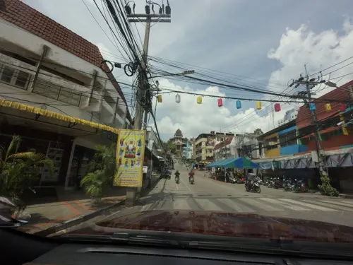
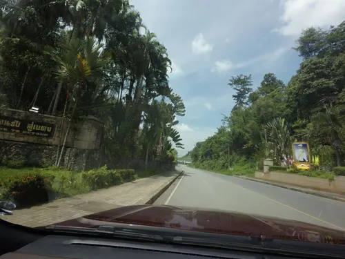
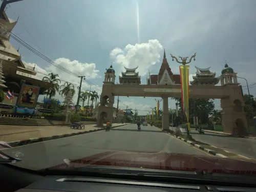
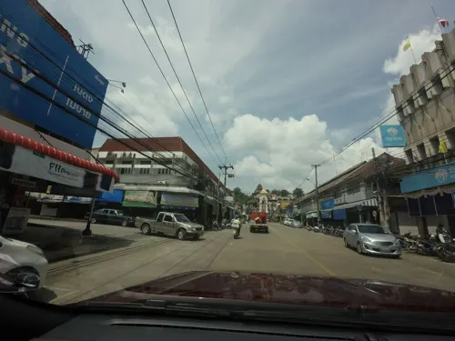
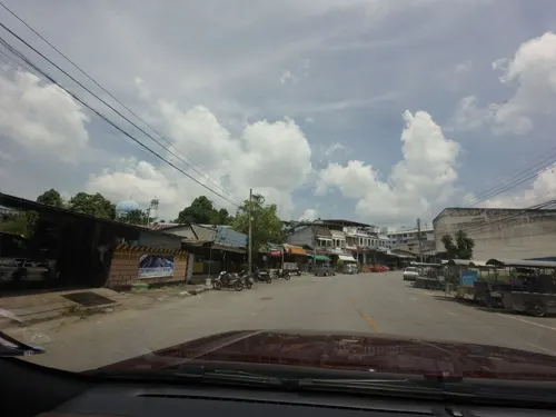
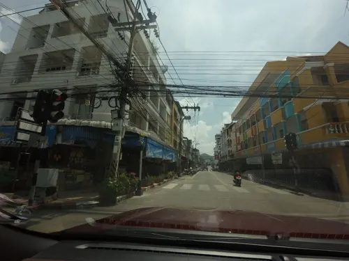
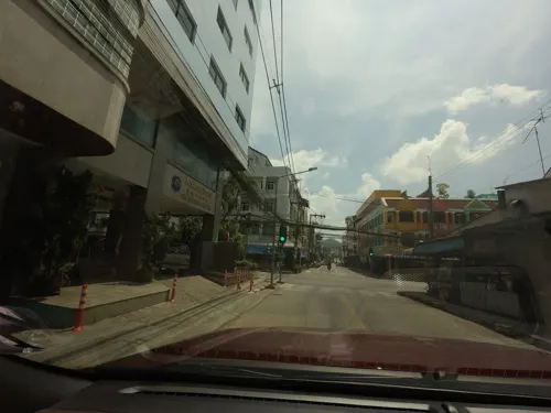
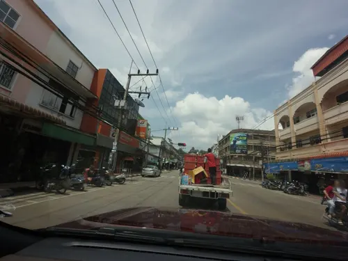
Betong (Thai: เบตง, pronounced [bēː.tōŋ]; Malay: Betung (Jawi: بيتوڠ); Chinese: 勿洞) is a town (thesaban mueang) in southern Thailand, near the Malaysian border. It is the capital of Betong District, the southernmost district of Yala Province. As of 2005, the town has a population of 24,688.
From the Wikipedia article Betong, Thailand (this version), under CC BY-SA 4.0.
Travel tips from other travellers: Betong on Wikivoyage (CC BY-SA 4.0).
Photos of Betong


Things to do1

Museums and landmarks6

Betong-Kroh tragedy memorial (17th June 1968)
Monument and historic site · 5.9 km
Parks, trails and playgrounds3


Restaurants and cafes11
Vagabond Coffee
Cafe · Coffee Shop
1 ถนนสมัตรัฐ
Mo-Su 07:30-15:30



Reff Coffee
Cafe · Coffee Shop · 1.2 km
222 ประชาธิปปัตย์
Mo-Fr 08:30-17:00; Sa-Su 09:30-18:00

History
The town was created as a local administration unit on 30 September 1939, when the sub-district municipality (thesaban tambon) was set up. The town was upgraded to thesaban mueang status on 20 February 2004.
From the History section of Betong, Thailand on Wikipedia, under CC BY-SA 4.0.
More about Betong
Economy
Tourism is the main driver of the economy of Betong, especially sex tourism. Mass tourism was not common to Betong until it was launched as one of Thailand's pilot targets for western tourists with the opening of its airport for commercial flights in March 2022. Academic Surang Artnarong has estimated that the town is home to 3,000 to 5,000 sex workers, who primarily service Malaysian tourists. In 2014, 466,913 foreigners visited Betong, generating 2,130 million baht in revenue. The number of tourist arrivals rose to 700,000 in 2016.
From the Wikipedia article Betong, Thailand, under CC BY-SA 4.0.
Where to stay10
Churches and places of worship3
Shopping2
Gas and EV charging1
Healthcare2
Map of Betong
39 places. The map loads OpenStreetMap tiles when you open it.
Getting there and nearby towns
Betong International Airport (BTZ) is the nearest airport with scheduled flights listed in OpenStreetMap, 9 km away.
- Ban Asin Mittraphap 80 km north, about 1 h 15 min by car
- Yala 88 km north, about 1 h 30 min by car
Drive times are estimates from straight-line distance, not routes.
Keep exploring
Local news
Headlines from INDB.
Reviews, tips and questions
Loading what members have shared...
Sources and licences
- GeoNames (CC BY 4.0): population, coordinates, regions and time zone
- Mapillary (see each image): photos
- OpenStreetMap contributors (ODbL 1.0): places, airports, map data
- Wikidata (CC0 1.0): elevation, founding date, time zone, website
- Wikimedia Commons (see each image): photos
- Wikipedia (CC BY-SA 4.0): overview and history text
Photo credits
- Betong, Thailand checkpoint, Fannykong, CC BY-SA 3.0
- Betong Bell Tower, Benjy8769, CC BY-SA 4.0
- Betong, Betong District, Yala 95110, Thailand - panoramio (3), กิตติ เลขะกุล, CC BY 3.0
- Betong, Betong District, Yala 95110, Thailand - panoramio (2), กิตติ เลขะกุล, CC BY 3.0
- Tano Maero, Betong District, Yala 95110, Thailand - panoramio (2), กิตติ เลขะกุล, CC BY 3.0
- Tano Maero, Betong District, Yala 95110, Thailand - panoramio (1), กิตติ เลขะกุล, CC BY 3.0
- Tano Maero, Betong District, Yala 95110, Thailand - panoramio, กิตติ เลขะกุล, CC BY 3.0
- Yarom, Betong District, Yala 95110, Thailand - panoramio, กิตติ เลขะกุล, CC BY 3.0
- Betong checkpoint 1, Slleong, CC0
- Betong checkpoint 2, Slleong, CC0
- Betong checkpoint 3, Slleong, CC0
- Betong checkpoint 6, Slleong, CC0
- Betong checkpoint 5, Slleong, CC0
- Betong checkpoint 4, Slleong, CC0
- เมืองเบตง - panoramio, shababpsu, CC BY-SA 3.0
- Wat Phutthathiwat, Benjy8769, CC BY-SA 4.0
- ISS047-E-79764 - View of Earth, Earth Science and Remote Sensing Unit , Lyndon B. Johnson Space Center, Public domain
- ISS047-E-79763 - View of Earth, Earth Science and Remote Sensing Unit , Lyndon B. Johnson Space Center, Public domain
- Malaysia-Thailand boundary stone no. 51 3, Slleong, CC0
- Malaysia-Thailand boundary stone no. 51 4, Slleong, CC0
- Malaysia-Thailand boundary stone no. 51 6, Slleong, CC0
- Malaysia-Thailand boundary stone no. 51 5, Slleong, CC0
- Malaysia-Thailand boundary stone no. 51 7, Slleong, CC0
- Bukit Berapit checkpoint 9, Slleong, CC0
- Bukit Berapit checkpoint 11, Slleong, CC0
- Malaysia-Thailand boundary stone no. 51 2, Slleong, CC0
- Malaysia-Thailand boundary stone no. 51 1, Slleong, CC0
- Bukit Berapit checkpoint 10, Slleong, CC0
- Bukit Berapit checkpoint 12, Slleong, CC0
- Bukit Berapit checkpoint 8, Slleong, CC0
- Bukit Berapit checkpoint 7, Slleong, CC0
- Bukit Berapit checkpoint 6, Slleong, CC0
- Bukit Berapit checkpoint 5, Slleong, CC0
- Bukit Berapit checkpoint 2, Slleong, CC0
- Bukit Berapit checkpoint 3, Slleong, CC0
- Bukit Berapit checkpoint 4, Slleong, CC0
- Bukit Berapit checkpoint 1, Slleong, CC0
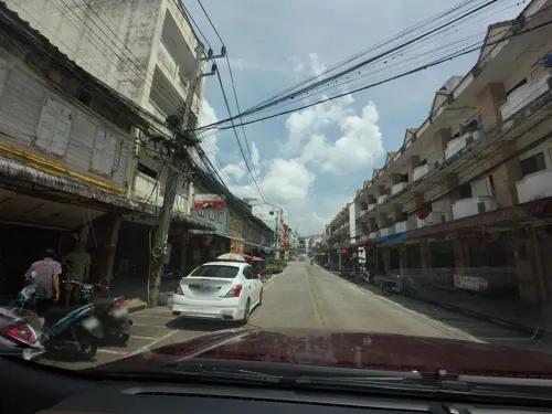
- Street-level photo, mishari, CC BY-SA 4.0
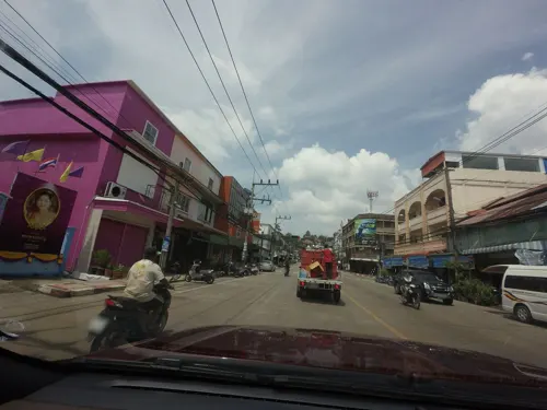
- Street-level photo, mishari, CC BY-SA 4.0
- Street-level photo, mishari, CC BY-SA 4.0
- Street-level photo, mishari, CC BY-SA 4.0
- Street-level photo, mishari, CC BY-SA 4.0
- Street-level photo, mishari, CC BY-SA 4.0
- Street-level photo, mishari, CC BY-SA 4.0
- Street-level photo, mishari, CC BY-SA 4.0
- Street-level photo, mishari, CC BY-SA 4.0
- Street-level photo, mishari, CC BY-SA 4.0
- Street-level photo, mishari, CC BY-SA 4.0
- Street-level photo, mishari, CC BY-SA 4.0
- Street-level photo, mishari, CC BY-SA 4.0
- Street-level photo, mishari, CC BY-SA 4.0
- Street-level photo, mishari, CC BY-SA 4.0
- Street-level photo, mishari, CC BY-SA 4.0


Page built November 10, 2026. Spotted a mistake? Tell us or suggest a place.