
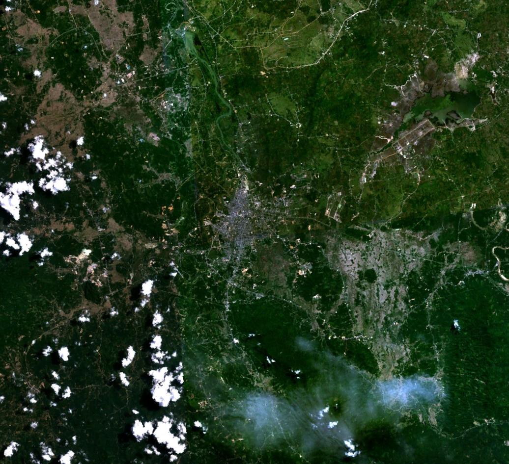


Yala, Thailand
เทศบาลนครยะลา
Yala is a regional capital of 93,558 people in Yala, Thailand.
Why visit Yala
Townapedia lists 1 museum or landmark, 2 parks and trails, 30 places to eat and 5 places to stay in and around town.
Weather in Yala
Forecast from MET Norway (CC BY 4.0). Full forecast
About Yala
Yala (Thai: ยะลา, pronounced [jáʔlaː] or [jálaː]) is a city and seat of Mueang Yala District and Yala Province of far southern Thailand. The provincial and district capital, it is 137 kilometres by road southeast of Hat Yai. The eastern part of the city is part of the neighboring tambon of Sateng Nok. As of 2019 the tambon had a total population of 60,617.
From the Wikipedia article Yala, Thailand (this version), under CC BY-SA 4.0.
Travel tips from other travellers: Yala on Wikivoyage (CC BY-SA 4.0).
Photos of Yala


Museums and landmarks1

Parks, trails and playgrounds2
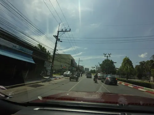

Restaurants and cafes30
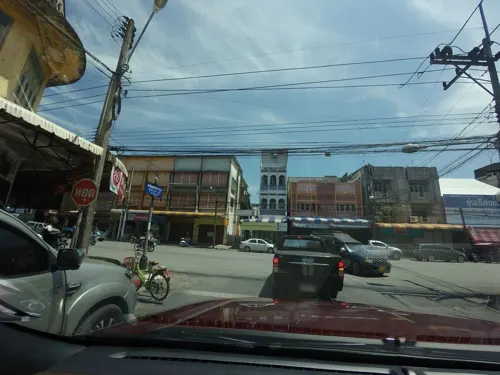
Thara Restaurant – ร้านอาหารธารา
Restaurant · Regional, Thai, Asian, Fish, Chicken, Salad, Curry · 2.5 km
39 Phiphit Phakdi
Mo-Su 11:00-21:00
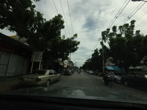
Chair – ร้านเก้าอี้
Restaurant · Regional, Chicken, Thai, Asian, Seafood, Fish, Noodle, Curry, Steak House · 1.2 km
Phungmuang 4 Soi 20
Mo-Su 16:00-21:00
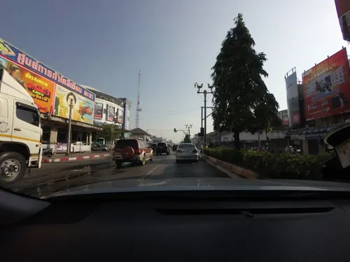
Common Cafe Yala
Cafe · Coffee Shop · 2.1 km
6 ซ.คขเสนีย์
Mo-Su 08:00-20:00
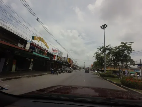
In Trend Co-working Café
Cafe · Coffee Shop · 3.6 km
ถนนสิโรรส
Mo-Su 08:00-20:00
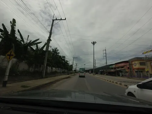
Vagabond Coffee Sai15
Cafe · Coffee Shop · 3.0 km
ถนนสาย 15
Mo-Fr 09:00-20:00
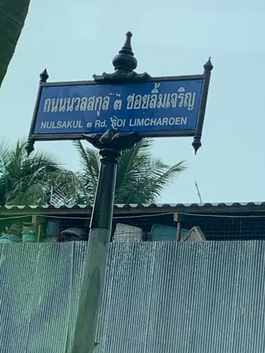
Vagabond Roastery
Cafe · Coffee Shop · 2.3 km
40/1 ถนนนวลสกุล 3
Mo-Su 09:00-20:00
Halal Foods
Restaurant · 1.1 km
252/4 ถนนพพิธภักดี
Mo-Su 06:00-14:00

Thonwithi
Restaurant · Thai · 2.1 km
Breakfast restaurant serving congee, roti, tea, coffee, and dim sum.
52 ถนนธนวิถี 4
We-Mo 07:00-11:30

Baan Mali Craft Cake
Cafe · Cake, Tea, Juice, Fries · 2.2 km
77/63 ซอย 77 บ้านบาเฆ็ง ก่อนถึงอนามัยสะเตงนอก
Sa-Su 10:00-17:00
Black Blood Roastery Yala
Cafe · Coffee Shop · 1.2 km
133-132 ถนน ผังเมือง 2
Mo-Su 08:00-18:00
Nasi Kaki Lembu
Restaurant · Thai, Soup · 3.3 km
17/6 เปาะยานิ๊
Mo-Su 10:00-18:00
Tujohbelas
Cafe · Coffee Shop · 1.2 km
44 ถนนกาญจนา 1
Mo-Su 09:00-22:00
18 more on the map.
Where to stay5

History
Yala used to be part of the Pattani kingdom. When Ayutthaya was captured by the Burmese in 1767, Yala, along with other southern colonies, became independent. Yala was again included as part of Thailand about 41 years later. In September 1977, King Bhumibol Adulyadej and Queen Sirikit of Thailand narrowly avoided assassination by the BRN after a bomb exploded nearby during a visit. On 9 October, policemen from the 12th Provincial Police Headquarters and the Yala Provincial Police Headquarters arrested Abdun Romae Haron, Mae Prachu, and Choning Saing on charges of conspiring with the escaped convicts Hayi Masae, Choya Samae, and Abdun Romae in attempting to kill the monarchs.
From the History section of Yala, Thailand on Wikipedia, under CC BY-SA 4.0.
More about Yala
Economy
The main occupations of the people are trade, agriculture, business, and governmental services, given that it is the capital of Mueang Yala District and contains district offices. Secondary industry also has some significance, given that the city contains the Muang Yala municipal slaughterhouse in the western part of the city near the river bank, the Shaapan rubber factory, Sun Thai Yala Co. Ltd. (a wood processing firm), Charoenporn ice plant, and mineral water bottler.
From the Wikipedia article Yala, Thailand, under CC BY-SA 4.0.
Notable people from Yala
 Wan Muhammad Noor MathaPresident of the Parliament and Speaker of the House of the Representatives of ThailandPhoto: KrebsLovesFiesh, CC BY-SA 4.0
- Nuttanon KadchapananThai tennis player
- Aitipol KaewkeawThai footballer
- Ekkapan SuratsawangThai futsal player
- Ekkapong SuratsawangThai futsal player
Born in Yala, according to Wikidata (CC0). Each name links to its Wikipedia article.
Churches and places of worship5
Shopping2
Gas and EV charging1
Schools, colleges and libraries20
Healthcare3
The herbalist's house, Phang Muang 4
Clinic and pharmacy · 0.9 km
312 ถนนผังเมือง 4
Map of Yala
69 places. The map loads OpenStreetMap tiles when you open it.
Getting there and nearby towns
Pattani Airport (PAN) is the nearest airport with scheduled flights listed in OpenStreetMap, 31 km away.
- Ban Asin Mittraphap 21 km west, about 21 min by car
- Ban I Sing 23 km east, about 23 min by car
- Nong Chik 36 km north, about 36 min by car
- Pattani 37 km north, about 37 min by car
- Yaring 38 km north, about 38 min by car
- Sai Buri 41 km northeast, about 41 min by car
- Ra-ngae 56 km southeast, about 56 min by car
- Narathiwat 61 km east, about 1 h by car
- Ban Su-ngai Pa Di 83 km southeast, about 1 h 30 min by car
- Betong 88 km south, about 1 h 30 min by car
Drive times are estimates from straight-line distance, not routes.
Towns near Yala


Keep exploring
Local news
Headlines from INDB.
Reviews, tips and questions
Loading what members have shared...
Sources and licences
- GeoNames (CC BY 4.0): population, coordinates, regions and time zone
- Mapillary (see each image): photos
- OpenStreetMap contributors (ODbL 1.0): places, airports, map data
- Wikidata (CC0 1.0): elevation, founding date, time zone, website, landmarks and historic places
- Wikimedia Commons (see each image): photos
- Wikipedia (CC BY-SA 4.0): overview and history text
Photo credits
- Yala 101.29726E 6.53979N, NASA, Public domain
- Sateng, Mueang Yala District, Yala 95000, Thailand - panoramio (1), กิตติ เลขะกุล, CC BY 3.0
- Sateng, Mueang Yala District, Yala 95000, Thailand - panoramio (2), กิตติ เลขะกุล, CC BY 3.0
- Sateng, Mueang Yala District, Yala 95000, Thailand - panoramio, กิตติ เลขะกุล, CC BY 3.0
- Sateng, Mueang Yala District, Yala 95000, Thailand - panoramio (4), กิตติ เลขะกุล, CC BY 3.0
- Sateng, Mueang Yala District, Yala 95000, Thailand - panoramio (3), กิตติ เลขะกุล, CC BY 3.0
- Yala Railway Station, Tealsp, CC BY 4.0
- สวนขวัญเมืองยะลา, Misharim, CC BY 4.0
- หจก.อัครพันธุ์ก่อสร้าง - panoramio, กิตติ เลขะกุล, CC BY 3.0
- Unnamed2 - panoramio (1926), กิตติ เลขะกุล, CC BY 3.0
- โรงหล่อผลิตภัณฑ์คอนกรีตอัดแรง - panoramio, กิตติ เลขะกุล, CC BY 3.0
- โรงหล่อผลิตภัณฑ์คอนกรีตอัดแรง - panoramio (1), กิตติ เลขะกุล, CC BY 3.0
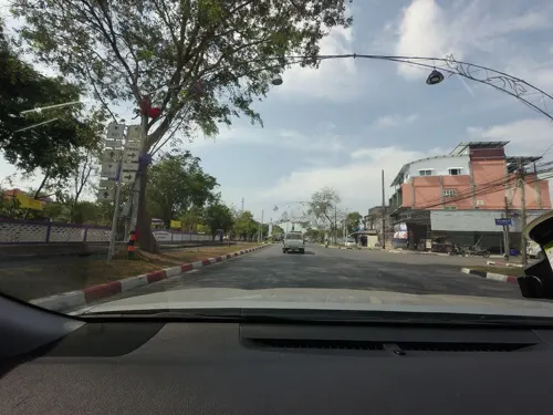
- Street-level photo, mishari, CC BY-SA 4.0
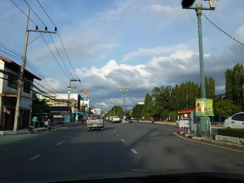
- Street-level photo, mishari, CC BY-SA 4.0
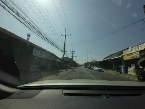
- Street-level photo, mishari, CC BY-SA 4.0
- Street-level photo, innerpace, CC BY-SA 4.0
- Street-level photo, mishari, CC BY-SA 4.0
- Street-level photo, mishari, CC BY-SA 4.0
- Street-level photo, mishari, CC BY-SA 4.0
- Street-level photo, mishari, CC BY-SA 4.0
- Street-level photo, mishari, CC BY-SA 4.0
- Street-level photo, mishari, CC BY-SA 4.0
- Street-level photo, mishari, CC BY-SA 4.0
- Street-level photo, mishari, CC BY-SA 4.0
- Street-level photo, mishari, CC BY-SA 4.0
- Street-level photo, mishari, CC BY-SA 4.0
- Street-level photo, mishari, CC BY-SA 4.0
- Street-level photo, mishari, CC BY-SA 4.0
- Street-level photo, mishari, CC BY-SA 4.0
- Street-level photo, mishari, CC BY-SA 4.0
- Street-level photo, mishari, CC BY-SA 4.0
- Street-level photo, mishari, CC BY-SA 4.0
- Street-level photo, mishari, CC BY-SA 4.0
- Street-level photo, mishari, CC BY-SA 4.0

Page built November 10, 2026. Spotted a mistake? Tell us or suggest a place.