


Cha-am, Thailand
เทศบาลเมืองชะอำ
Cha-am is a town of 49,375 people in Phetchaburi, Thailand.
Why visit Cha-am
Townapedia lists 11 museums and landmarks, 11 parks and trails, 59 places to eat, 89 places to stay and 23 attractions in and around town.
Highlights include Hat Puek Tian, Cha-am Beach and Mrigadayavan Palace.
Weather in Cha-am
Forecast from MET Norway (CC BY 4.0). Full forecast
Photos of Cha-am


Things to do23

Hat Puek Tian
Beach · 17.7 km
Beach in Phetchaburi province, Thailand



11 more on the map.
Museums and landmarks11

Mrigadayavan Palace
Monument and historic site · 11.4 km
1281 Phetkasem Road Rama 6 Camp, Cha-am
Th-Tu 08:30-16:30


Parks, trails and playgrounds11




Restaurants and cafes59
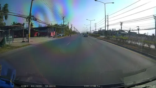
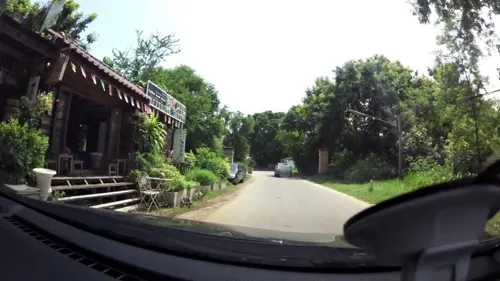
Chan Wang Restaurant
Restaurant · Thai, International, Steak · 11.3 km
Mo-Tu 10:00-22:00; Th-Su 10:00-22:00
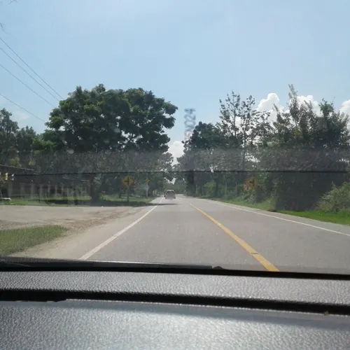
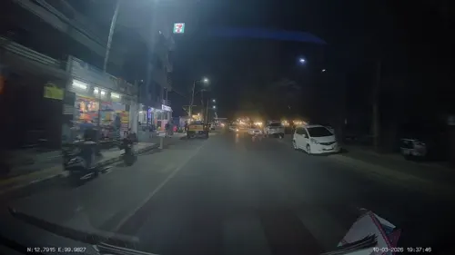
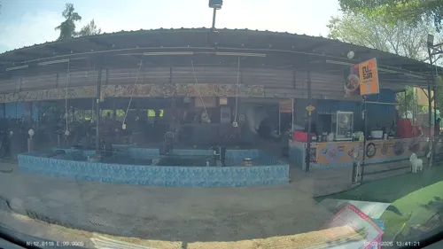
melovecafe ชะอำ Cafe'Steak and Pasta
Restaurant · Ice Cream, Japanese, Pasta, Steak House, Thai · 2.9 km
Tu-Su 09:00-18:00
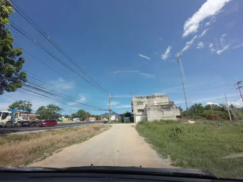
แซ่บอีหลี
Restaurant · 9.3 km
Mo-Fr,Su 10:00-20:00

Pladin Restaurant
Restaurant · International Fusion Food · 14.5 km
1391 Soi Cha-am 59
Friday-Sunday, 11:00-22:00

Lorrang cafe
Cafe · Coffee Shop · 10.1 km
1145/2 ถ.คลองชลประทานห้วยทรายเหนือ, Cha-am, Cha-am District, Phetchaburi
Mo-Su 06:00-19:00
47 more on the map.
Where to stay89
Churches and places of worship15
Naga statue Pho Pu Phaya Si Phetkhiri Mahamuni Ninpan Sisuttho Nakkharat
Place of worship · 4.2 km
Shopping11
Gas and EV charging19
Schools, colleges and libraries25
Healthcare1
Map of Cha-am
250 places. The map loads OpenStreetMap tiles when you open it.
Getting there and nearby towns
Hua Hin Airport (HHQ) is the nearest airport with scheduled flights listed in OpenStreetMap, 18 km away.
- Tha Yang 19 km north, about 19 min by car
- Hua Hin 26 km south, about 26 min by car
- Phetchaburi 35 km north, about 35 min by car
- Pran Buri 47 km south, about 47 min by car
- Khao Yoi 51 km north, about 51 min by car
- Sam Roi Yot 60 km south, about 1 h by car
- Samut Songkhram 68 km north, about 1 h 15 min by car
- Damnoen Saduak 80 km north, about 1 h 15 min by car
- Kui Buri 81 km south, about 1 h 15 min by car
- Ratchaburi 84 km north, about 1 h 30 min by car
Drive times are estimates from straight-line distance, not routes.
Towns near Cha-am


Keep exploring
Local news
Headlines from INDB.
Reviews, tips and questions
Loading what members have shared...
Sources and licences
- GeoNames (CC BY 4.0): population, coordinates, regions and time zone
- Mapillary (see each image): photos
- OpenStreetMap contributors (ODbL 1.0): places, airports, map data
- Wikidata (CC0 1.0): elevation, founding date, time zone, website, landmarks and historic places
- Wikimedia Commons (see each image): photos
Photo credits
- Cha Am Beach Resort Thailand, Khaosaming, CC BY-SA 4.0
- Cha-Am Station 1, Mx. Granger, CC0
- Cha-Am Station 2, Mx. Granger, CC0
- Cha-Am Station 3, Mx. Granger, CC0
- Cha-am Railway Station 20240113 11, Suikotei, CC BY 4.0
- Cha-am Railway Station 20240113 10, Suikotei, CC BY 4.0
- Cha-am Railway Station 20240113 08, Suikotei, CC BY 4.0
- Cha-am Railway Station 20240113 07, Suikotei, CC BY 4.0
- Cha-am Railway Station 20240113 09, Suikotei, CC BY 4.0
- Cha-am Wednesday Night Market, Mx. Granger, CC0
- Cha-am Railway Station 20240113 03, Suikotei, CC BY 4.0
- Cha-am Railway Station 20240113 05, Suikotei, CC BY 4.0
- Cha-am Railway Station 20240113 02, Suikotei, CC BY 4.0
- Cha-am Railway Station 20240113 01, Suikotei, CC BY 4.0
- Cha-am Railway Station 20240113 04, Suikotei, CC BY 4.0
- Cha-am Railway Station 20240113 06, Suikotei, CC BY 4.0
- Makro Food Service, Cha-Am, Mx. Granger, CC0
- Cha-am Forest Park 2, Mx. Granger, CC0
- Cha-am Forest Park 1, Mx. Granger, CC0
- Narathip Road, Cha-am, Mx. Granger, CC0
- CHA-AM FOREST PARK - panoramio (2), Thaweesak Churasri, CC BY 3.0
- CHA-AM FOREST PARK - panoramio, Thaweesak Churasri, CC BY 3.0
- CHA-AM FOREST PARK - panoramio (1), Thaweesak Churasri, CC BY 3.0
- Cha-am, Cha-am District, Phetchaburi, Thailand - panoramio (11), Mozhar, CC BY-SA 3.0
- Cha-am, Cha-am District, Phetchaburi, Thailand - panoramio (5), Mozhar, CC BY-SA 3.0
- Cha-am, Cha-am District, Phetchaburi, Thailand - panoramio (10), Mozhar, CC BY-SA 3.0
- Cha-am, Cha-am District, Phetchaburi, Thailand - panoramio (9), Mozhar, CC BY-SA 3.0
- Cha-am, Cha-am District, Phetchaburi, Thailand - panoramio (4), Mozhar, CC BY-SA 3.0
- Cha-am, Cha-am District, Phetchaburi, Thailand - panoramio (2), Mozhar, CC BY-SA 3.0
- Unnamed Road, Tambon Puek tian, Amphoe Tha Yang, Chang Wat Phetchaburi 76130, Thailand - panoramio (1), Mozhar, CC BY-SA 3.0
- Maruekkhathayawan (III), This Photo was taken by Supanut Arunoprayote . Feel free to use any of my images, but please mention me as the author and may send me a message. (สามารถใช้ภาพได้อิสระ..., CC BY 4.0
- พระราชวังมฤคทายวัน, Manoonp, CC BY-SA 3.0
- เทศบาลชะอำ - panoramio, SIAMSEARCH, CC BY 3.0
- ป้ายเทศบาลชะอำ - panoramio - SIAMSEARCH, SIAMSEARCH, CC BY 3.0
- สถานีรถไฟชะอำ - panoramio - SIAMSEARCH (2), SIAMSEARCH, CC BY 3.0
- สถานีรถไฟชะอำ - panoramio, SIAMSEARCH, CC BY 3.0
- สถานีรถไฟชะอำ - panoramio - SIAMSEARCH, SIAMSEARCH, CC BY 3.0
- สถานีรถไฟชะอำ - panoramio - SIAMSEARCH (3), SIAMSEARCH, CC BY 3.0
- สถานีรถไฟ - panoramio - SIAMSEARCH (1), SIAMSEARCH, CC BY 3.0
- สถานีรถไฟชะอำ - panoramio - SIAMSEARCH (4), SIAMSEARCH, CC BY 3.0
- Street-level photo, ThailandCambodia, CC BY-SA 4.0
- Street-level photo, rariyaso, CC BY-SA 4.0
- Street-level photo, ThailandCambodia, CC BY-SA 4.0
- Street-level photo, ThailandCambodia, CC BY-SA 4.0
- Street-level photo, ThailandCambodia, CC BY-SA 4.0
- Street-level photo, ThailandCambodia, CC BY-SA 4.0
- Street-level photo, ThailandCambodia, CC BY-SA 4.0
- Street-level photo, mishari, CC BY-SA 4.0
- Street-level photo, rariyaso, CC BY-SA 4.0
- Street-level photo, mishari, CC BY-SA 4.0
- Street-level photo, jrcarlsen, CC BY-SA 4.0
- Street-level photo, ThailandCambodia, CC BY-SA 4.0
- Street-level photo, jrcarlsen, CC BY-SA 4.0
- Street-level photo, jrcarlsen, CC BY-SA 4.0
- Street-level photo, jrcarlsen, CC BY-SA 4.0
- Street-level photo, jrcarlsen, CC BY-SA 4.0
- Street-level photo, mapcreator, CC BY-SA 4.0


Page built November 10, 2026. Spotted a mistake? Tell us or suggest a place.