


Why visit Ko Chang
Townapedia lists 6 museums and landmarks, 16 parks and trails, 287 places to eat, 178 places to stay and 19 attractions in and around town.
Highlights include Khlong Phlu Waterfall, Thanmayom Waterfall and Mu Ko Chang National Park.
Weather in Ko Chang
Forecast from MET Norway (CC BY 4.0). Full forecast
About Ko Chang
Ko Chang (Thai: เกาะช้าง, pronounced [kɔ̀ʔ t͡ɕʰáːŋ]) is an amphoe (district) in Trat province, Thailand. It is on the Gulf of Thailand's eastern coast, 300 km (190 mi) from Bangkok, near the border with Cambodia.
From the Wikipedia article Ko Chang district (this version), under CC BY-SA 4.0.
Travel tips from other travellers: Ko Chang on Wikivoyage (CC BY-SA 4.0).
Photos of Ko Chang


Things to do19

Khlong Phlu Waterfall
Waterfall · 2.7 km
#2pricethailand The entrance fees are 100฿ for foreign children and 200฿ for adults. For Thai nationals it's 20฿ and 40฿ respectively.




Mountain Hostel
Scenic view · 7.8 km
Mountain Hostel White sand Beach Koh Chang, Room for rent suitable for bag packer and nature lover.
7 more on the map.
Museums and landmarks6

Parks, trails and playgrounds16


BB Divers – PADI 5 star Dive Center Koh Chang
Sports field and stadium · 8.4 km
ท่าเรือบางเบ้า



4 more on the map.
Restaurants and cafes287
KaTi Culinary Restaurant
Restaurant · Thai
Cooking School & Restaurant
48/7, Ko Chang
Mo 12:00-22:00; Tu off; We-Su 12:00-22:00
Kloy Restaurant
Restaurant · Thai · 4.2 km
33/38 rural rd
Mo-Su 10:00-2100
Seafood restaraunt
Restaurant · Seafood, Thai, Asian, International · 0.9 km
34
10:00-22:00
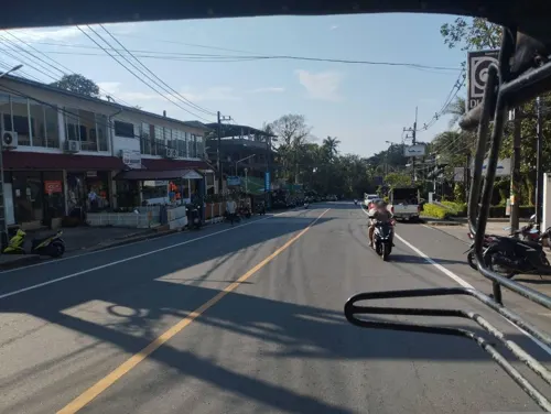
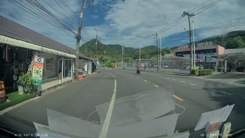
To The MooN Koh Chang Weed Smoke Shop
Cafe · 6.8 km
93/9 A13 Yothathikan
Mo-Su 08:00-23:00
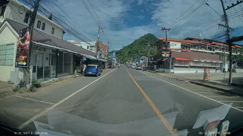
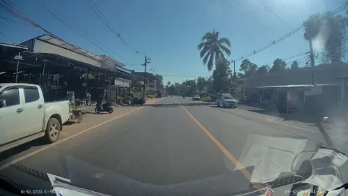
Best Thai restaurant on Koh Chang
Restaurant · Noodle, Thai · 3.6 km
Mo-Su 09:00-22:00
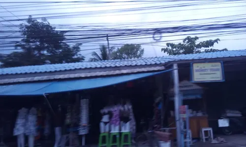
Burger house
Restaurant · American, Burger, Chicken, Diner, Hot Dog, Ice Cream, Sandwich · 0.9 km

Original Pad Thai - Since 1978
Restaurant · Regional, Thai
7 ซอยสำราญราษฎร์
Mo-Su 09:00-21:00
275 more on the map.
History
Prior to World War II, Ko Chang was little known. During this period, the few families there made a living growing coconuts and fruits.
On 17 January 1941, Ko Chang was the scene of the Battle of Ko Chang between the Royal Thai Navy and a much stronger Vichy French naval squadron, in which the French won a decisive victory. Ko Chang Yutthanawi Day, which occurs in late-January at the Ko Chang Yutthanawi Memorial on Laem Ngop, commemorates the Royal Thai Navy's engagement against the French colonialists. There is an exhibition by the Royal Thai Navy, and merit-making and tribute rites are performed for those killed in the battle.
From the History section of Ko Chang district on Wikipedia, under CC BY-SA 4.0.
More about Ko Chang
Geography
Ko Chang is part of an archipelago of 52 islands. It is approximately 30 km (19 mi) long by 14 km (8.7 mi) wide. It is part of the Mu Ko Chang National Park, which covers an area of 650 km2 (250 sq mi), of which 70 percent is offshore.
It is a mountainous island, with Khao Salak Phet being the highest peak at 744 m (2,441 ft). The island is known for several waterfalls, coral reefs, and rainforests.
The main settlements on the west coast are around Sai Khao, Hat Kai Mook, Hat Kai Bae, Ban Klong Prao and the fishing village of Bang Bao on the south coast. The island's administrative centre is Ban Dan Mai on the east coast.
Economy
Ko Chang's income derives largely from tourism, but some traditional livelihoods still exist. Many of Ko Chang's villages rely on fishing, with Ban Salak Phet (Thai: บ้านสลักเพชร) being the largest and oldest community on Ko Chang, in a sheltered location in the south of the island. Other fishing villages include Bang Bao (Thai: หมู่บ้านประมงบางเบ้า), at Bang Bao Beach, which consists of houses on stilts built into the sea, and Ban Khlong Son, which also partly relies on rubber plantations. Ban Dan Mai and Ban Khlong Non Si also have coconut plantations, and orchards of lychee trees. The variety of lychee grown, Silaman 200 years, is believed to be found only on Ko Chang.
The first foreign backpackers started arriving on Ko Chang in the mid-1970s, using local fishing boats, when the island was still undeveloped. In 2019 tourism is the island's biggest earner. In 1982, Ko Chang along with the surrounding area became part of the protected Mu Ko Chang National Park, with approximately 85 percent of the island, together with nearby coral reefs, falling within the park.
In 2020, an American tourist was arrested for posting negative feedback about his experience at a hotel in Ko Chang. While the tourist was released from prison after apologizing, TripAdvisor, for the first time ever, placed a warning to prospective customers on the hotel's TripAdvisor page, regarding the incident.
From the Wikipedia article Ko Chang district, under CC BY-SA 4.0.
Where to stay178
Churches and places of worship7
Shopping10
Gas and EV charging10
Schools, colleges and libraries3
Healthcare10
Map of Ko Chang
250 places. The map loads OpenStreetMap tiles when you open it.
Getting there and nearby towns
Trat Airport (TDX) is the nearest airport with scheduled flights listed in OpenStreetMap, 26 km away.
- Ban Bang Bao 8 km south, about 8 min by car
- Ko Chang Tai 9 km southeast, about 9 min by car
- Laem Ngop 17 km northeast, about 17 min by car
- Trat 32 km northeast, about 32 min by car
- Khao Saming 37 km northeast, about 37 min by car
- Khlung 46 km north, about 46 min by car
- Ko Kood 51 km southeast, about 51 min by car
- Laem Sing 54 km northwest, about 54 min by car
- Ban I Pat 55 km north, about 55 min by car
- Chanthaburi 66 km north, about 1 h by car
Drive times are estimates from straight-line distance, not routes.
Towns near Ko Chang


Keep exploring
Local news
Headlines from INDB.
Reviews, tips and questions
Loading what members have shared...
Sources and licences
- GeoNames (CC BY 4.0): population, coordinates, regions and time zone
- Mapillary (see each image): photos
- OpenStreetMap contributors (ODbL 1.0): places, airports, map data
- Wikidata (CC0 1.0): elevation, founding date, time zone, website, landmarks and historic places
- Wikimedia Commons (see each image): photos
- Wikipedia (CC BY-SA 4.0): overview and history text
Photo credits
- Kochang1, Heinz Albers, CC BY 3.0
- Ko Chang, Ko Chang District, Trat, Thailand - panoramio (49), Serj Kras, CC BY-SA 3.0
- DPT., Tambon Ko Chang, Amphoe Ko Chang, Chang Wat Trat 23170, Thailand - panoramio (1), gbuschner, CC BY-SA 3.0
- Ko Chang, Ko Chang District, Trat, Thailand - panoramio (52), Serj Kras, CC BY-SA 3.0
- Ko Chang, Ko Chang District, Trat, Thailand - panoramio (57), gbuschner, CC BY-SA 3.0
- Ko Chang, Ko Chang District, Trat, Thailand - panoramio (51), Serj Kras, CC BY-SA 3.0
- Ko Chang, Ko Chang District, Trat, Thailand - panoramio (44), Serj Kras, CC BY-SA 3.0
- Ko Chang, Ko Chang District, Trat, Thailand - panoramio (46), Serj Kras, CC BY-SA 3.0
- Ko Chang, Ko Chang District, Trat, Thailand - panoramio (48), Serj Kras, CC BY-SA 3.0
- DPT., Tambon Ko Chang, Amphoe Ko Chang, Chang Wat Trat 23170, Thailand - panoramio, seppotuomas, CC BY-SA 3.0
- Ko Chang, Ko Chang District, Trat, Thailand - panoramio (40), Serj Kras, CC BY-SA 3.0
- Ko Chang, Ko Chang District, Trat, Thailand - panoramio (53), Serj Kras, CC BY-SA 3.0
- Ko Chang, Ko Chang District, Trat, Thailand - panoramio (31), Serj Kras, CC BY-SA 3.0
- Ko Chang, Ko Chang District, Trat, Thailand - panoramio (42), Serj Kras, CC BY-SA 3.0
- Ko Chang, Ko Chang District, Trat, Thailand - panoramio (50), Serj Kras, CC BY-SA 3.0
- Ko Chang, Ko Chang District, Trat, Thailand - panoramio (45), Serj Kras, CC BY-SA 3.0
- Ko Chang, Ko Chang District, Trat, Thailand - panoramio (34), Serj Kras, CC BY-SA 3.0
- Ko Chang, Ko Chang District, Trat, Thailand - panoramio (47), Serj Kras, CC BY-SA 3.0
- Ko Chang, Ko Chang District, Trat, Thailand - panoramio (65), Gusev Sergey, CC BY 3.0
- Ko Chang, Ko Chang District, Trat, Thailand - panoramio - steste, steste, CC BY-SA 3.0
- Ko Chang, Ko Chang District, Trat, Thailand - panoramio, steste, CC BY-SA 3.0
- Moo Koh Chang5, Toey19863, CC BY-SA 3.0
- Wat Klong Prao - panoramio, Serj Kras, CC BY-SA 3.0
- Wat Klong Prao - panoramio (1), Serj Kras, CC BY-SA 3.0
- Klaong san , Koh Chang - panoramio, A J Niccel, CC BY-SA 3.0
- Welcome slushie and towel at Dinso Resort & Villas Koh Chang, Slyronit, CC BY-SA 4.0
- Reception Ceiling of Dinso Resort & Villas Koh Chang, Slyronit, CC BY-SA 4.0
- Dusk at Dinso Resort & Villas Koh Chang, Slyronit, CC BY-SA 4.0
- Dusk at Dinso Resort & Villas Koh Chang 2, Slyronit, CC BY-SA 4.0
- Klang san, Koh Chang, Thailand - panoramio, A J Niccel, CC BY-SA 3.0
- Kai Bae Beach, Ко Чанг, N 3 14 15 92 65, CC BY-SA 4.0
- Jungle falls (29788887721), cloud.shepherd, CC BY 2.0
- Koh Chang - panoramio - harryhenri, harryhenri, CC BY 3.0
- Relaxing at sunset (5505330850), Roger Price from Hong Kong, Hong Kong, CC BY 2.0
- Thailand-Ko-Chang-06, Botaurus, CC BY-SA 3.0
- Ocypode ceratophthalmus 46807728, Attila Oláh, CC BY 4.0
- Ocypode ceratophthalmus 46807776, Attila Oláh, CC BY 4.0
- Закат над Kai Bae Beach, Ко Чанг, N 3 14 15 92 65, CC BY-SA 4.0
- Lovenia elongata 46797611, Attila Oláh, CC BY 4.0
- Lovenia elongata 46797594, Attila Oláh, CC BY 4.0
- Khlong Phlu waterfall, Koh Chang, Slyronit, CC BY-SA 4.0
- Street-level photo, ThailandCambodia, CC BY-SA 4.0
- Street-level photo, ThailandCambodia, CC BY-SA 4.0
- Street-level photo, ozflor, CC BY-SA 4.0
- Street-level photo, ozflor, CC BY-SA 4.0
- Street-level photo, ThailandCambodia, CC BY-SA 4.0
- Street-level photo, yard24, CC BY-SA 4.0
- Street-level photo, ThailandCambodia, CC BY-SA 4.0
- Street-level photo, ThailandCambodia, CC BY-SA 4.0
- Street-level photo, ozflor, CC BY-SA 4.0
- Street-level photo, eme, CC BY-SA 4.0
- Street-level photo, ThailandCambodia, CC BY-SA 4.0
- Street-level photo, ozflor, CC BY-SA 4.0
- Street-level photo, ozflor, CC BY-SA 4.0
- Street-level photo, ThailandCambodia, CC BY-SA 4.0
- Street-level photo, ozflor, CC BY-SA 4.0
- Street-level photo, eme, CC BY-SA 4.0
- Street-level photo, ThailandCambodia, CC BY-SA 4.0


Page built November 10, 2026. Spotted a mistake? Tell us or suggest a place.