
Kuchinarai, Thailand
เทศบาลเมืองกุฉินารายณ์
Kuchinarai is a town of 20,532 people in Kalasin, Thailand.
Why visit Kuchinarai
Townapedia lists 6 places to eat and 3 places to stay in and around town.
Weather in Kuchinarai
Forecast from MET Norway (CC BY 4.0). Full forecast
Restaurants and cafes6
Hug Coffee
Cafe · Coffee Shop
13 ถนนสมเด็จ-มุกดาหาร
Mo-Su 08:00-18:00
แจ่วฮ้อนบ้านทุ่ง บัวขาว
Restaurant · Thai, แจ่วฮ้อน · 1.5 km
ถนนสมเด็จ-มุกดาหาร, บัวขาว
Mo-Su 11:30-24:00
หนองห้างโตเกียว
Fast food · Pancake
ถนนสมเด็จ-มุกดาหาร
Su-Fr 14:00-19:00

Noodles
Restaurant · Noodle · 0.8 km
ถนน บุญฑริกจักรพงษ์
Tu,Th 10:00-20:00; We,Fr-Su 10:00-22:00

Where to stay3

โรงแรมวนิดา ธารา เลควิว
Motel and hotel
679 หมู่ 13, กาฬสินธุ์
Open in Google Maps · +66909256168, +66814963021, +6643851369
Churches and places of worship1

Gas and EV charging3
Schools, colleges and libraries3
Healthcare4
Map of Kuchinarai
20 places. The map loads OpenStreetMap tiles when you open it.
Getting there and nearby towns
Roi Et Airport (ROI) is the nearest airport with scheduled flights listed in OpenStreetMap, 56 km away.
- Khao Wong 18 km north, about 18 min by car
- Moeiwadi 20 km southeast, about 20 min by car
- Waeng 28 km south, about 28 min by car
- Chai Wari 38 km southwest, about 38 min by car
- Ban I Toeng 53 km north, about 53 min by car
- Kamalasai 55 km southwest, about 55 min by car
- Kalasin 59 km west, about 59 min by car
- Sakon Nakhon 70 km north, about 1 h 15 min by car
- Roi Et 69 km southwest, about 1 h 15 min by car
- Maha Sarakham 89 km southwest, about 1 h 30 min by car
Drive times are estimates from straight-line distance, not routes.
Towns near Kuchinarai


Keep exploring
Local news
Headlines from INDB.
Reviews, tips and questions
Loading what members have shared...
Sources and licences
- GeoNames (CC BY 4.0): population, coordinates, regions and time zone
- Mapillary (see each image): photos
- OpenStreetMap contributors (ODbL 1.0): places, airports, map data
- Wikidata (CC0 1.0): elevation, founding date, time zone, website
Photo credits
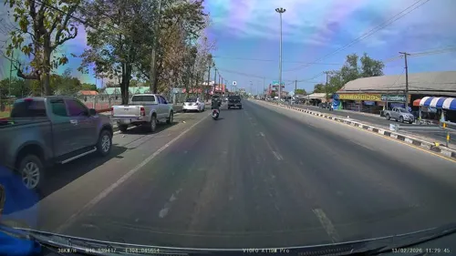
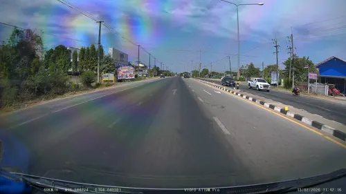
- Street-level photo, ThailandCambodia, CC BY-SA 4.0
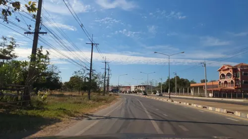
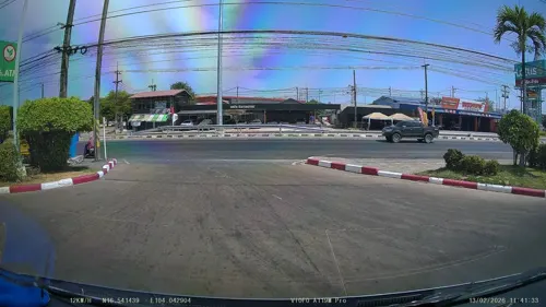
- Street-level photo, ThailandCambodia, CC BY-SA 4.0
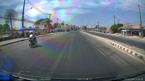
- Street-level photo, jrcarlsen, CC BY-SA 4.0
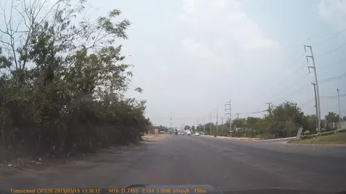
- Street-level photo, mapcreator, CC BY-SA 4.0
- Street-level photo, ThailandCambodia, CC BY-SA 4.0
- Street-level photo, ThailandCambodia, CC BY-SA 4.0
Page built November 10, 2026. Spotted a mistake? Tell us or suggest a place.